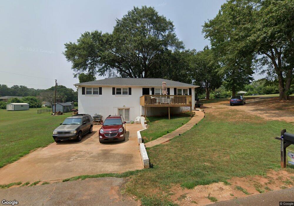
100 Arrowood Dr Anderson, SC 29626
Estimated Value: $226,998 - $265,000
About This Home
This home is located at 100 Arrowood Dr, Anderson, SC 29626 and is currently estimated at $242,250, approximately $186 per square foot. 100 Arrowood Dr is a home located in Anderson County with nearby schools including McLees Elementary School, Robert Anderson Middle School, and Westside High School.
Ownership History
We collect this data history from publicly available records. To have your information removed, we recommend requesting removal directly through your county’s website.
Purchase Details
Home Financials for this Owner
Home Financials are based on the most recent Mortgage that was taken out on this home.Purchase Details
Purchase Details
Home Values in the Area
Average Home Value in this Area
Purchase History
We collect this data history from publicly available records. To have your information removed, we recommend requesting removal directly through your county’s website.
| Date | Buyer | Sale Price | Title Company |
|---|---|---|---|
| $101,000 | -- | ||
| $45,000 | -- | ||
| $74,900 | -- |
Mortgage History
We collect this data history from publicly available records. To have your information removed, we recommend requesting removal directly through your county’s website.
| Date | Status | Borrower | Loan Amount |
|---|---|---|---|
| Closed | $24,321 | ||
| Closed | $12,625 | ||
| Closed | $99,170 | ||
| Closed | $77,498 | ||
| Closed | $73,644 |
Tax History
We collect this data history from publicly available records. To have your information removed, we recommend requesting removal directly through your county’s website.
| Year | Tax Paid | Tax Assessment Tax Assessment Total Assessment is a certain percentage of the fair market value that is determined by local assessors to be the total taxable value of land and additions on the property. | Land | Improvement |
|---|---|---|---|---|
| 2025 | $638 | $4,980 | $600 | $4,380 |
| 2024 | $638 | $4,980 | $600 | $4,380 |
| 2023 | $639 | $4,980 | $600 | $4,380 |
| 2022 | $608 | $4,980 | $600 | $4,380 |
| 2021 | $558 | $4,300 | $400 | $3,900 |
| 2020 | $551 | $4,300 | $400 | $3,900 |
| 2019 | $551 | $4,300 | $400 | $3,900 |
| 2018 | $560 | $4,300 | $400 | $3,900 |
| 2017 | -- | $4,300 | $400 | $3,900 |
| 2016 | $538 | $4,050 | $300 | $3,750 |
| 2015 | $548 | $4,050 | $300 | $3,750 |
| 2014 | $543 | $4,050 | $300 | $3,750 |
Map
- 1020 Bern Cir
- 102 Nina Cir
- 221 Greenland Rd
- 312 Edwards Dr
- 3625 Dobbins Bridge Rd
- 201 & 203 Hazelwood Ave
- 417 Westwood Dr
- 303 Pennelly St
- 411 Jasmin Dr
- 318 Fretwell Dr
- 118 Doris Ave
- 219 Beaty Square
- 1019 Jones Dr
- 1005 Gordon St
- 426 Cleveland Rd
- 506 Cherokee St
- 1006 Gordon St
- 112 Tabitha Ct
- 510 Visage Dr
- LTS C+1 Scarborough Rd
- 1103 Bern Cir
- 102 Arrowood Dr
- 102 Cloverdale Dr
- 1027 Bern Cir
- 1102 Bern Cir
- 103 Cloverdale Dr
- 103 Arrowood Dr
- 205 Meadowbrook Dr
- 1104 Bern Cir
- 203 Meadowbrook Dr
- 1024 Bern Cir
- 201 Meadowbrook Dr
- 301 Meadowbrook Dr
- 1105 Bern Cir
- 00 Meadowbrook Dr
- 113 Meadowbrook Dr
- 1012 Bern Cir
- 1106 Bern Cir
- 303 Meadowbrook Dr
- 1107 Bern Cir
Ask me questions while you tour the home.