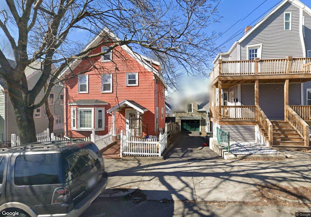
100 Ashland St Unit 102 Malden, MA 02148
Belmont NeighborhoodEstimated Value: $852,440 - $1,217,000
5
Beds
4
Baths
2,323
Sq Ft
$426/Sq Ft
Est. Value
About This Home
This home is located at 100 Ashland St Unit 102, Malden, MA 02148 and is currently estimated at $990,360, approximately $426 per square foot. 100 Ashland St Unit 102 is a home located in Middlesex County with nearby schools including Malden High School, Mystic Valley Regional Charter School, and Cheverus Catholic School.
Ownership History
Date
Name
Owned For
Owner Type
Purchase Details
Closed on
Oct 26, 2015
Sold by
Hovsepian Herair R and Hovsepian Ray
Bought by
Zhong Guan Q and Zhang Suxin
Current Estimated Value
Purchase Details
Closed on
May 23, 2003
Sold by
Deirmenjian Avid and Deirmenjian Anahid
Bought by
Hovsepian Gohar D and Hovsepian Herair R
Home Financials for this Owner
Home Financials are based on the most recent Mortgage that was taken out on this home.
Original Mortgage
$336,000
Interest Rate
5.86%
Mortgage Type
Purchase Money Mortgage
Create a Home Valuation Report for This Property
The Home Valuation Report is an in-depth analysis detailing your home's value as well as a comparison with similar homes in the area
Home Values in the Area
Average Home Value in this Area
Purchase History
| Date | Buyer | Sale Price | Title Company |
|---|---|---|---|
| Zhong Guan Q | $480,000 | -- | |
| Hovsepian Gohar D | $420,000 | -- |
Source: Public Records
Mortgage History
| Date | Status | Borrower | Loan Amount |
|---|---|---|---|
| Previous Owner | Hovsepian Gohar D | $336,000 |
Source: Public Records
Tax History Compared to Growth
Tax History
| Year | Tax Paid | Tax Assessment Tax Assessment Total Assessment is a certain percentage of the fair market value that is determined by local assessors to be the total taxable value of land and additions on the property. | Land | Improvement |
|---|---|---|---|---|
| 2025 | $85 | $749,100 | $276,300 | $472,800 |
| 2024 | $8,222 | $703,300 | $261,000 | $442,300 |
| 2023 | $7,939 | $651,300 | $238,000 | $413,300 |
| 2022 | $7,596 | $615,100 | $214,900 | $400,200 |
| 2021 | $7,277 | $592,100 | $191,900 | $400,200 |
| 2020 | $7,062 | $558,300 | $185,400 | $372,900 |
| 2019 | $6,727 | $506,900 | $176,500 | $330,400 |
| 2018 | $6,456 | $458,200 | $145,800 | $312,400 |
| 2017 | $5,909 | $417,000 | $140,100 | $276,900 |
| 2016 | $6,229 | $410,900 | $128,600 | $282,300 |
| 2015 | $5,943 | $377,800 | $122,400 | $255,400 |
| 2014 | $5,505 | $341,900 | $111,300 | $230,600 |
Source: Public Records
Map
Nearby Homes
- 72 Ashland St Unit 307
- 4 Cross St Unit 1
- 89 Judson St
- 80 Main St Unit 9
- 44 Stevens St
- 55 Clarendon St
- 23 Pratt St
- 15-17 Barrett St
- 17 Garland Ave
- 67 Converse Ave Unit 69
- 28 Shawmut St
- 100 Medford St
- 58 Regent Rd
- 74 Madison St
- 210 Hancock St
- 153A Belmont St
- 23 Upham St
- 13-15 Benner Ave
- 98 Bradford St
- 16 Woodville St
- 90 Ashland St
- 90 Ashland St Unit 1
- 90 Ashland St Unit 2
- 117 High St
- 117 High St Unit 1
- 100 - 102 Ashland St
- 119 High St
- 28 Cross St
- 93 Ashland St Unit 95
- 104 Ashland St Unit 106
- 26 Cross St
- 32 Cross St
- 109 High St
- 97 Ashland St Unit 99
- 99 Ashland St Unit 1
- 34 Cross St
- 105 High St
- 108 Ashland St Unit 110
- 108-110 Ashland St
- 101 High St Unit 103