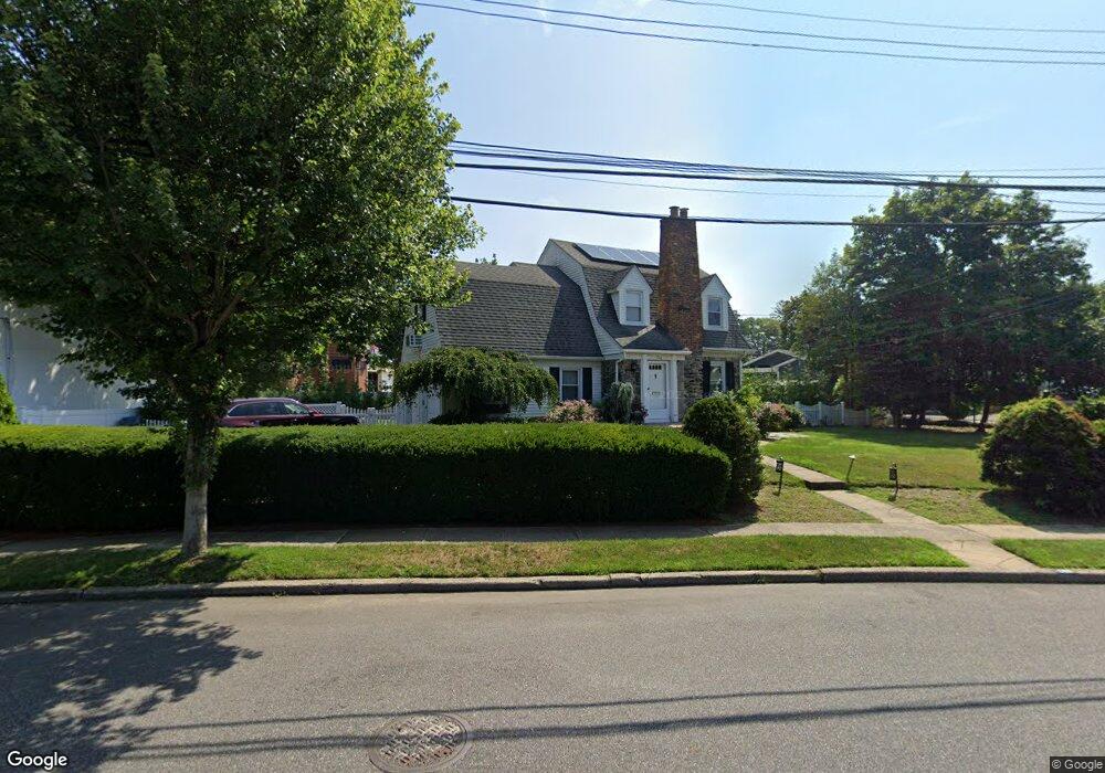
100 Brookside Ave Merrick, NY 11566
Estimated Value: $1,088,864 - $1,174,000
4
Beds
2
Baths
2,166
Sq Ft
$522/Sq Ft
Est. Value
About This Home
This home is located at 100 Brookside Ave, Merrick, NY 11566 and is currently estimated at $1,131,432, approximately $522 per square foot. 100 Brookside Ave is a home located in Nassau County with nearby schools including Merrick Avenue Middle School, Sanford H Calhoun High School, and Sacred Heart School.
Ownership History
Date
Name
Owned For
Owner Type
Purchase Details
Closed on
Jun 18, 2021
Sold by
Distler Jo Ann
Bought by
Ticas Alex and Ticas Katharine
Current Estimated Value
Home Financials for this Owner
Home Financials are based on the most recent Mortgage that was taken out on this home.
Original Mortgage
$668,000
Outstanding Balance
$604,791
Interest Rate
2.9%
Mortgage Type
New Conventional
Estimated Equity
$526,641
Purchase Details
Closed on
May 3, 2004
Sold by
Garland John
Create a Home Valuation Report for This Property
The Home Valuation Report is an in-depth analysis detailing your home's value as well as a comparison with similar homes in the area
Home Values in the Area
Average Home Value in this Area
Purchase History
| Date | Buyer | Sale Price | Title Company |
|---|---|---|---|
| Ticas Alex | $835,000 | Stewart Title | |
| -- | -- | -- |
Source: Public Records
Mortgage History
| Date | Status | Borrower | Loan Amount |
|---|---|---|---|
| Open | Ticas Alex | $668,000 |
Source: Public Records
Tax History
| Year | Tax Paid | Tax Assessment Tax Assessment Total Assessment is a certain percentage of the fair market value that is determined by local assessors to be the total taxable value of land and additions on the property. | Land | Improvement |
|---|---|---|---|---|
| 2025 | $19,780 | $683 | $358 | $325 |
| 2024 | $5,083 | $683 | $358 | $325 |
Source: Public Records
Map
Nearby Homes
- 2 Garfield St
- 1680 Lake Ave
- 1715 Remson Ave
- TBD Camp Ave
- 19 Margaret Blvd
- 2016 Abbot Ave
- 132 Webster St
- 70 Nancy Blvd
- 1911 Carroll Ave
- 1617 Richard Ave
- 1563 Stevens Ave
- 204 Margaret Blvd
- 24 Loines Ave
- 1531 Merrick Ave
- 138 Hewlett Ave
- 45 Richard Ave
- 18 Helene Ave
- 1931 Miller Place
- 1741 Bushwick Ave
- 1772 Rose St
- 90 Brookside Ave
- 1723 Brookside Ave
- 86 Brookside Ave
- 95 Brookside Ave
- 93 Brookside Ave
- 19 E Garfield St
- 97 Brookside Ave
- 38 E Garfield St
- 1724 Brookside Ave
- 60 Brookside Ave
- 30 E Garfield St
- 1743 Arms Ave
- 6 Arms Ave
- 2048 Camp Ave
- 26 E Garfield St
- 12 Arms Ave
- 15 E Garfield St
- 3 1st Ave
- 39 E Webster St
- 3 1st Ave
Your Personal Tour Guide
Ask me questions while you tour the home.