100 Community Dr Wakefield, RI 02879
Estimated Value: $677,673 - $874,000
2
Beds
1
Bath
924
Sq Ft
$845/Sq Ft
Est. Value
About This Home
This home is located at 100 Community Dr, Wakefield, RI 02879 and is currently estimated at $781,168, approximately $845 per square foot. 100 Community Dr is a home located in Washington County with nearby schools including South Kingstown High School.
Ownership History
Date
Name
Owned For
Owner Type
Purchase Details
Closed on
Jan 15, 2008
Sold by
Stoddard-Mead Pamela A and Mead Jeffrey J
Bought by
Reale Maryann
Current Estimated Value
Home Financials for this Owner
Home Financials are based on the most recent Mortgage that was taken out on this home.
Original Mortgage
$140,000
Interest Rate
6.21%
Mortgage Type
Purchase Money Mortgage
Purchase Details
Closed on
Dec 1, 1993
Sold by
Murray Dorothea M
Bought by
Stoddard Pamela A
Create a Home Valuation Report for This Property
The Home Valuation Report is an in-depth analysis detailing your home's value as well as a comparison with similar homes in the area
Home Values in the Area
Average Home Value in this Area
Purchase History
| Date | Buyer | Sale Price | Title Company |
|---|---|---|---|
| Reale Maryann | $420,000 | -- | |
| Stoddard Pamela A | $95,000 | -- |
Source: Public Records
Mortgage History
| Date | Status | Borrower | Loan Amount |
|---|---|---|---|
| Open | Stoddard Pamela A | $225,000 | |
| Closed | Stoddard Pamela A | $182,000 | |
| Closed | Stoddard Pamela A | $135,200 | |
| Closed | Stoddard Pamela A | $140,000 |
Source: Public Records
Tax History Compared to Growth
Tax History
| Year | Tax Paid | Tax Assessment Tax Assessment Total Assessment is a certain percentage of the fair market value that is determined by local assessors to be the total taxable value of land and additions on the property. | Land | Improvement |
|---|---|---|---|---|
| 2025 | $5,013 | $560,700 | $336,100 | $224,600 |
| 2024 | $4,947 | $447,700 | $282,000 | $165,700 |
| 2023 | $4,947 | $447,700 | $282,000 | $165,700 |
| 2022 | $4,902 | $447,700 | $282,000 | $165,700 |
| 2021 | $4,961 | $343,300 | $229,900 | $113,400 |
| 2020 | $4,961 | $343,300 | $229,900 | $113,400 |
| 2019 | $4,961 | $343,300 | $229,900 | $113,400 |
| 2018 | $4,409 | $281,200 | $183,900 | $97,300 |
| 2017 | $4,305 | $281,200 | $183,900 | $97,300 |
| 2016 | $4,243 | $281,200 | $183,900 | $97,300 |
| 2015 | $4,235 | $272,900 | $176,400 | $96,500 |
| 2014 | $4,224 | $272,900 | $176,400 | $96,500 |
Source: Public Records
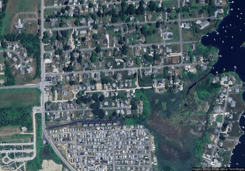
Map
Nearby Homes
- 35 Atlantic Ave
- 27 Holden Rd
- 854 Matunuck Beach #215 Rd
- 854 Matunuck Beach Rd
- 0 Park Ave
- 24 Peninsula Rd
- 277 Prospect Rd
- 14 E Pointe Ct Unit 14
- 691 Succotash Rd
- 689 Succotash Rd
- 550 Cards Pond Rd
- 17 Westside Rd
- 76 Hartford Ave
- 6 MacAlder St
- 83 Gooseberry Rd
- 16 Percy Ln
- 23 E Matunuck Farm Dr
- 392 Gooseberry Rd
- 18 Beach Row
- 16 High Tides Ln
- 104 Community Dr
- 92 Community Dr
- 89 Atlantic Ave
- 112 Community Dr
- 91 Community Dr
- 107 Community Dr
- 84 Community Dr
- 103 Atlantic Ave
- 113 Community Dr
- 113 Community Dr Unit 1
- 77 Atlantic Ave
- 80 Community Dr
- 83 Community Dr
- 88 Holden Rd
- 100 Holden Rd
- 82 Holden Rd
- 0 Central St Unit 1061777
- 0 Central St Unit 1061780
- 0 Central St Unit 1078472
- 0 Central St Unit 1078473