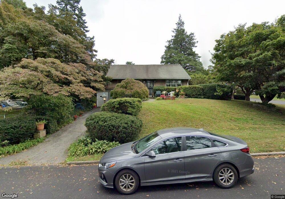
100 Cornell Rd Bala Cynwyd, PA 19004
Estimated Value: $551,000 - $877,000
3
Beds
3
Baths
2,468
Sq Ft
$314/Sq Ft
Est. Value
About This Home
This home is located at 100 Cornell Rd, Bala Cynwyd, PA 19004 and is currently estimated at $774,181, approximately $313 per square foot. 100 Cornell Rd is a home located in Montgomery County with nearby schools including Cynwyd School, Bala-Cynwyd Middle School, and Lower Merion High School.
Ownership History
Date
Name
Owned For
Owner Type
Purchase Details
Closed on
Apr 30, 2004
Sold by
Blackman Samuel and Blackman Renee
Bought by
Fishon Marilyn
Current Estimated Value
Purchase Details
Closed on
Dec 18, 2001
Sold by
Blackman Samuel M
Bought by
Blackman Samuel M and Blackman Renee
Create a Home Valuation Report for This Property
The Home Valuation Report is an in-depth analysis detailing your home's value as well as a comparison with similar homes in the area
Home Values in the Area
Average Home Value in this Area
Purchase History
| Date | Buyer | Sale Price | Title Company |
|---|---|---|---|
| Fishon Marilyn | $310,000 | T A Title Insurance Co | |
| Blackman Samuel M | -- | -- | |
| Blackman Samuel M | -- | -- |
Source: Public Records
Tax History Compared to Growth
Tax History
| Year | Tax Paid | Tax Assessment Tax Assessment Total Assessment is a certain percentage of the fair market value that is determined by local assessors to be the total taxable value of land and additions on the property. | Land | Improvement |
|---|---|---|---|---|
| 2025 | $9,027 | $216,150 | $122,540 | $93,610 |
| 2024 | $9,027 | $216,150 | $122,540 | $93,610 |
| 2023 | $8,651 | $216,150 | $122,540 | $93,610 |
| 2022 | $8,490 | $216,150 | $122,540 | $93,610 |
| 2021 | $8,297 | $216,150 | $122,540 | $93,610 |
| 2020 | $8,094 | $216,150 | $122,540 | $93,610 |
| 2019 | $7,951 | $216,150 | $122,540 | $93,610 |
| 2018 | $7,952 | $216,150 | $122,540 | $93,610 |
| 2017 | $7,659 | $216,150 | $122,540 | $93,610 |
| 2016 | $7,576 | $216,150 | $122,540 | $93,610 |
| 2015 | $7,063 | $216,150 | $122,540 | $93,610 |
| 2014 | $7,063 | $216,150 | $122,540 | $93,610 |
Source: Public Records
Map
Nearby Homes
- 135 Cornell Rd
- 717 Stradone Rd
- 195 Belmont Ave
- 116 E Princeton Rd
- 42 Madison Ave Unit 272
- 19 Rock Hill Rd Unit 7-D
- 534 Ott Rd
- 0 Penn Ave
- 51 Academy Rd
- 17 Jefferson St
- 138 Rockland Ave
- 85 Price St
- 205 Ebenezer Ave
- 4523 Riverside Way
- 317 Marywatersford Rd
- 220 Jefferson St
- 4584 Riverside Way
- 4586 Riverside Way
- 236 Jefferson St
- 201 Jefferson St
- 727 Cambridge Rd
- 108 Cornell Rd
- 725 Cambridge Rd
- 728 Cambridge Rd
- 105 Cornell Rd
- 710 Fordham Rd
- 723 Cambridge Rd
- 724 Cambridge Rd
- 708 Fordham Rd
- 72 Cornell Rd
- 107 Cornell Rd
- 109 Cornell Rd
- 706 Fordham Rd
- 719 Cambridge Rd
- 111 Cornell Rd
- 720 Cambridge Rd
- 729 Yale Rd
- 725 Yale Rd
- 113 Cornell Rd
- 114 Cornell Rd Unit 400