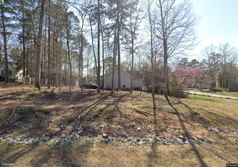
100 Cortland Cir Clayton, NC 27520
Cleveland NeighborhoodEstimated Value: $329,000 - $342,000
3
Beds
2
Baths
1,606
Sq Ft
$208/Sq Ft
Est. Value
About This Home
This home is located at 100 Cortland Cir, Clayton, NC 27520 and is currently estimated at $334,728, approximately $208 per square foot. 100 Cortland Cir is a home located in Johnston County with nearby schools including Cleveland Elementary School, Cleveland Middle School, and Cleveland High School.
Ownership History
Date
Name
Owned For
Owner Type
Purchase Details
Closed on
Aug 15, 2025
Sold by
William T Tarrant Iv Revocable Living Tr and William Tarrant V
Bought by
One Fifth Trust and Tarrant
Current Estimated Value
Purchase Details
Closed on
Feb 1, 2005
Sold by
Dail Elizabeth Pope and Elizabeth Pope J
Bought by
William Thomas Tarrant Iv Trust
Purchase Details
Closed on
May 29, 2002
Sold by
Dail Elizabeth Pope
Bought by
Pope J Elizabeth
Create a Home Valuation Report for This Property
The Home Valuation Report is an in-depth analysis detailing your home's value as well as a comparison with similar homes in the area
Home Values in the Area
Average Home Value in this Area
Purchase History
| Date | Buyer | Sale Price | Title Company |
|---|---|---|---|
| One Fifth Trust | -- | None Listed On Document | |
| William Thomas Tarrant Iv Trust | $138,500 | None Available | |
| Pope J Elizabeth | -- | -- |
Source: Public Records
Tax History Compared to Growth
Tax History
| Year | Tax Paid | Tax Assessment Tax Assessment Total Assessment is a certain percentage of the fair market value that is determined by local assessors to be the total taxable value of land and additions on the property. | Land | Improvement |
|---|---|---|---|---|
| 2025 | $1,905 | $299,980 | $69,350 | $230,630 |
| 2024 | $1,564 | $193,140 | $55,480 | $137,660 |
| 2023 | $1,511 | $193,140 | $55,480 | $137,660 |
| 2022 | $1,589 | $193,140 | $55,480 | $137,660 |
| 2021 | $1,589 | $193,140 | $55,480 | $137,660 |
| 2020 | $1,608 | $193,140 | $55,480 | $137,660 |
| 2019 | $1,608 | $193,140 | $55,480 | $137,660 |
| 2018 | $0 | $147,200 | $29,590 | $117,610 |
| 2017 | $1,255 | $147,200 | $29,590 | $117,610 |
| 2016 | $1,255 | $147,200 | $29,590 | $117,610 |
| 2014 | -- | $147,200 | $29,590 | $117,610 |
Source: Public Records
Map
Nearby Homes
- 211 Mary Sandra Place
- 168 Newport Landing
- 4806 Lee Dr
- 587 Glenkirk Place
- 619 Rudy Dr
- 572 Glenkirk Place
- 120 Newport Landing Unit 99
- 93 Kinsale Ct
- 206 Merrifield Ln
- 136 Newport Landing
- 167 Merrifield Ln Unit 121
- 499 Glenkirk Place Unit Lot 101
- 117 Primrose Ln
- 149 Merrifield Ln Unit 120
- 496 Glenkirk Place Unit 112
- 148 Merrifield Ln Unit 128
- 61 Merrifield Ln
- Marlette III Plan at Annandale - Highland Collection
- Hastings III Plan at Annandale - Highland Collection
- Tyler Plan at Annandale - Highland Collection
- 191 Ridge Way Ln
- 104 Cortland Cir
- 101 Cortland Cir
- 180 Ridge Way Ln
- 188 Ridge Way Ln
- 108 Cortland Cir
- 192 Ridge Way Ln
- 109 Cortland Cir
- 105 Cortland Cir
- 195 Ridge Way Ln
- 196 Ridge Way Ln
- 198 Ridge Way Ln
- 100 Kristen Ct
- 199 Ridge Way Ln
- 104 Kristen Ct
- 172 Ridge Way Ln
- 3813 Woodridge Ct
- 2209 Rolling Dr
- 30 Fogleglen Dr
- 3810 Woodridge Ct