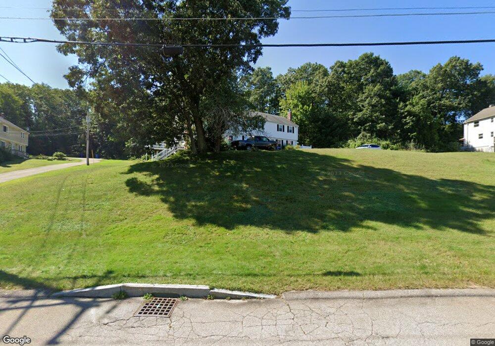
100 Cowell Rd Wrentham, MA 02093
Estimated Value: $385,723 - $497,000
2
Beds
2
Baths
1,474
Sq Ft
$289/Sq Ft
Est. Value
About This Home
This home is located at 100 Cowell Rd, Wrentham, MA 02093 and is currently estimated at $426,181, approximately $289 per square foot. 100 Cowell Rd is a home located in Norfolk County with nearby schools including Delaney Elementary School, Charles E Roderick, and The Sage School.
Ownership History
Date
Name
Owned For
Owner Type
Purchase Details
Closed on
May 31, 2017
Sold by
Walls Keith L and Walls Patricia A
Bought by
Agostinho Allyson
Current Estimated Value
Home Financials for this Owner
Home Financials are based on the most recent Mortgage that was taken out on this home.
Original Mortgage
$242,500
Outstanding Balance
$200,457
Interest Rate
3.97%
Mortgage Type
New Conventional
Estimated Equity
$225,724
Purchase Details
Closed on
Jun 1, 2005
Sold by
Lievano Carlos and Lievano Connie
Bought by
Lievano Carlos and Lievano Connie
Home Financials for this Owner
Home Financials are based on the most recent Mortgage that was taken out on this home.
Original Mortgage
$210,400
Interest Rate
5.83%
Mortgage Type
Purchase Money Mortgage
Purchase Details
Closed on
Jun 30, 1999
Sold by
Donahue James W and Donahue Barbara J
Bought by
Lievano Carlos and Lievano Connie
Home Financials for this Owner
Home Financials are based on the most recent Mortgage that was taken out on this home.
Original Mortgage
$70,000
Interest Rate
7.19%
Mortgage Type
Purchase Money Mortgage
Create a Home Valuation Report for This Property
The Home Valuation Report is an in-depth analysis detailing your home's value as well as a comparison with similar homes in the area
Home Values in the Area
Average Home Value in this Area
Purchase History
| Date | Buyer | Sale Price | Title Company |
|---|---|---|---|
| Agostinho Allyson | $250,000 | -- | |
| Lievano Carlos | $267,600 | -- | |
| Lievano Carlos | $130,000 | -- |
Source: Public Records
Mortgage History
| Date | Status | Borrower | Loan Amount |
|---|---|---|---|
| Open | Agostinho Allyson | $242,500 | |
| Previous Owner | Lievano Carlos | $210,400 | |
| Previous Owner | Lievano Carlos | $52,600 | |
| Previous Owner | Lievano Carlos | $27,000 | |
| Previous Owner | Lievano Carlos | $70,000 |
Source: Public Records
Tax History Compared to Growth
Tax History
| Year | Tax Paid | Tax Assessment Tax Assessment Total Assessment is a certain percentage of the fair market value that is determined by local assessors to be the total taxable value of land and additions on the property. | Land | Improvement |
|---|---|---|---|---|
| 2025 | $3,537 | $305,200 | $0 | $305,200 |
| 2024 | $3,662 | $305,200 | $0 | $305,200 |
| 2023 | $4,064 | $322,000 | $0 | $322,000 |
| 2022 | $3,504 | $256,300 | $0 | $256,300 |
| 2021 | $3,539 | $251,500 | $0 | $251,500 |
| 2020 | $3,122 | $219,100 | $0 | $219,100 |
| 2019 | $3,296 | $233,400 | $0 | $233,400 |
| 2018 | $3,285 | $230,700 | $0 | $230,700 |
| 2017 | $3,134 | $219,900 | $0 | $219,900 |
| 2016 | $3,026 | $211,900 | $0 | $211,900 |
| 2015 | $2,905 | $193,900 | $0 | $193,900 |
| 2014 | $2,969 | $193,900 | $0 | $193,900 |
Source: Public Records
Map
Nearby Homes
- 362 East St
- 319 Taunton St
- 1 Lorraine Metcalf Dr
- 10 Nature View Dr
- 15 Nature View Dr
- 120 Hawes St
- 65 Pond St
- 270 Dedham St
- 483 Thurston St
- 11 Earle Stewart Ln
- 131 Creek St Unit 7
- Lot 3 - 14 Earle Stewart Ln
- Lot 1 - Blueberry 2 Car Plan at King Philip Estates
- Lot 8 - Blueberry 2 Car Plan at King Philip Estates
- Lot 5 - Hughes 2 car Plan at King Philip Estates
- Lot 6 - Blueberry 3 Car Plan at King Philip Estates
- Lot 2 - Camden 2 Car Plan at King Philip Estates
- Lot 7 - Cedar Plan at King Philip Estates
- Lot 4 - Hemingway 2 Car Plan at King Philip Estates
- Lot 3 - Blueberry 2 Car Plan at King Philip Estates
- 90 Cowell Rd
- 110 Cowell Rd
- 100 Cowell Rd Unit B
- 100 Cowell Rd Unit 100
- 110 Cowell Rd Unit 110
- 140 Cowell Rd
- 120 Cowell Rd
- 120 Cowell Rd Unit 120,M18
- 120 Cowell Rd Unit 120
- 60 Cowell Rd
- 70 Cowell Rd
- 80 Cowell Rd
- 70 Cowell Rd Unit 70
- 80 Cowell Rd Unit 80
- 205 Madison St
- 130 Cowell Rd
- 195 Madison St
- 225 Clark Rd
- 115 Cowell Rd
- 105 Cowell Rd