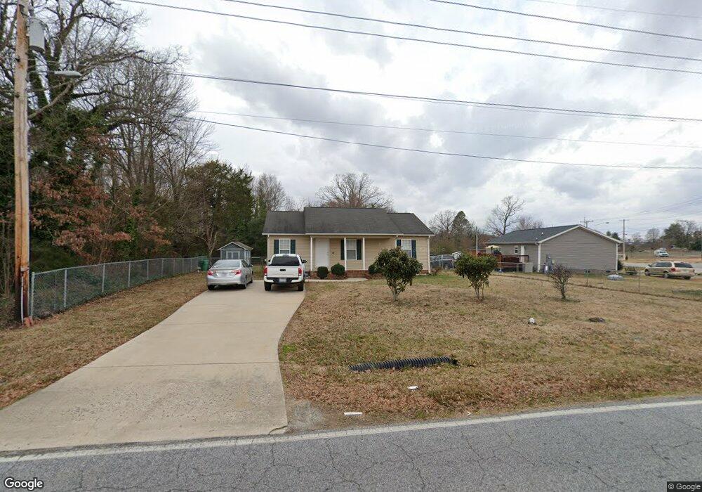
100 Cox Ave High Point, NC 27263
Estimated Value: $173,000 - $208,400
3
Beds
2
Baths
1,200
Sq Ft
$160/Sq Ft
Est. Value
About This Home
This home is located at 100 Cox Ave, High Point, NC 27263 and is currently estimated at $191,850, approximately $159 per square foot. 100 Cox Ave is a home located in Guilford County with nearby schools including Allen Jay Elementary School, Southern Guilford Middle, and Southern Guilford High School.
Ownership History
Date
Name
Owned For
Owner Type
Purchase Details
Closed on
Jul 20, 2004
Sold by
Morgan Steven A and Morgan Cornelia P
Bought by
Chitsoupha Vang and Seangphachanh Phom
Current Estimated Value
Home Financials for this Owner
Home Financials are based on the most recent Mortgage that was taken out on this home.
Original Mortgage
$79,200
Outstanding Balance
$39,619
Interest Rate
6.24%
Mortgage Type
Purchase Money Mortgage
Estimated Equity
$152,231
Purchase Details
Closed on
Nov 5, 2003
Sold by
Morgan Roy K and Morgan Kathy B
Bought by
Morgan Steven A
Create a Home Valuation Report for This Property
The Home Valuation Report is an in-depth analysis detailing your home's value as well as a comparison with similar homes in the area
Home Values in the Area
Average Home Value in this Area
Purchase History
| Date | Buyer | Sale Price | Title Company |
|---|---|---|---|
| Chitsoupha Vang | $99,000 | -- | |
| Morgan Steven A | -- | -- |
Source: Public Records
Mortgage History
| Date | Status | Borrower | Loan Amount |
|---|---|---|---|
| Open | Chitsoupha Vang | $79,200 |
Source: Public Records
Tax History
| Year | Tax Paid | Tax Assessment Tax Assessment Total Assessment is a certain percentage of the fair market value that is determined by local assessors to be the total taxable value of land and additions on the property. | Land | Improvement |
|---|---|---|---|---|
| 2025 | $1,585 | $116,300 | $26,000 | $90,300 |
| 2024 | $1,585 | $116,300 | $26,000 | $90,300 |
| 2023 | $1,585 | $116,300 | $26,000 | $90,300 |
| 2022 | $1,551 | $116,300 | $26,000 | $90,300 |
| 2021 | $1,359 | $99,700 | $18,000 | $81,700 |
| 2020 | $1,359 | $99,700 | $18,000 | $81,700 |
| 2019 | $1,359 | $99,700 | $0 | $0 |
| 2018 | $1,352 | $99,700 | $0 | $0 |
| 2017 | $1,351 | $99,700 | $0 | $0 |
| 2016 | $1,315 | $94,800 | $0 | $0 |
| 2015 | $1,322 | $94,800 | $0 | $0 |
| 2014 | $1,344 | $94,800 | $0 | $0 |
Source: Public Records
Map
Nearby Homes
- 1900-1922 Baker Rd
- 1501 Cox Ct
- 1105 E Springfield Rd
- 914 Nance Ave
- 919 Belmont Dr
- 928 Marlboro St
- 3003 #REAR Oakcrest Ave
- 921 Norton St
- 717 Belmont Dr
- 3304 Central Ave
- 930 & 928 R1 Marlboro St
- 1535 E Fairfield Rd
- 210 Paramount St
- 609 Martha Place
- 607 Martha Place
- 709 Habersham Rd
- 2715 Central Ave
- 715 Baker Rd
- 3630 Southpark Dr
- 600 E Fairfield Rd
- 1520 Baker Rd
- 1408 Forest Shade St
- 1601 Baker Rd
- 1600 Baker Rd
- 1202 Cox Ave
- 1203 Cox Ave
- 1411 Forest Shade St
- 1516 Baker Rd
- 1603 Baker Rd
- 1412 Forest Shade St
- 1206 Cox Ave
- 1415 Forest Shade St
- 1414 Forest Shade St
- 1514 Baker Rd
- 1519 Baker Rd
- 1205 Cox Ave
- 1417 Forest Shade St
- 1210 Cox Ave
- 1420 Forest Shade St
- 1414 Motes Ct
Your Personal Tour Guide
Ask me questions while you tour the home.