100 Crabtree Ln Lake Bluff, IL 60044
Estimated Value: $1,355,000 - $4,054,000
--
Bed
11
Baths
7,782
Sq Ft
$327/Sq Ft
Est. Value
About This Home
This home is located at 100 Crabtree Ln, Lake Bluff, IL 60044 and is currently estimated at $2,542,365, approximately $326 per square foot. 100 Crabtree Ln is a home located in Lake County with nearby schools including Lake Bluff Elementary School, Lake Bluff Middle School, and Lake Forest High School.
Ownership History
Date
Name
Owned For
Owner Type
Purchase Details
Closed on
Jun 10, 2011
Sold by
Irr Carroll Timothy G and Irr Marian Phelps Pawlick 1998
Bought by
100 Crabtree Lane Llc
Current Estimated Value
Purchase Details
Closed on
Jul 23, 1998
Sold by
Pawlick Marian Phelps and Tyler Marian P
Bought by
Irr Carroll Timothy G and Marian Phelps Pawlick 1998 Irrevocable T
Create a Home Valuation Report for This Property
The Home Valuation Report is an in-depth analysis detailing your home's value as well as a comparison with similar homes in the area
Home Values in the Area
Average Home Value in this Area
Purchase History
| Date | Buyer | Sale Price | Title Company |
|---|---|---|---|
| 100 Crabtree Lane Llc | -- | None Available | |
| Irr Carroll Timothy G | -- | -- |
Source: Public Records
Tax History Compared to Growth
Tax History
| Year | Tax Paid | Tax Assessment Tax Assessment Total Assessment is a certain percentage of the fair market value that is determined by local assessors to be the total taxable value of land and additions on the property. | Land | Improvement |
|---|---|---|---|---|
| 2024 | $87,671 | $1,305,246 | $314,420 | $990,826 |
| 2023 | $87,671 | $1,203,213 | $289,841 | $913,372 |
| 2022 | $78,823 | $1,114,247 | $268,410 | $845,837 |
| 2021 | $76,085 | $1,104,637 | $266,095 | $838,542 |
| 2020 | $71,765 | $1,110,746 | $267,567 | $843,179 |
| 2019 | $71,765 | $1,090,356 | $262,655 | $827,701 |
| 2018 | $77,350 | $1,205,872 | $291,531 | $914,341 |
| 2017 | $76,711 | $1,185,715 | $286,658 | $899,057 |
| 2016 | $74,026 | $1,128,608 | $272,852 | $855,756 |
| 2015 | $73,516 | $1,062,720 | $256,923 | $805,797 |
| 2014 | $72,268 | $1,049,449 | $255,937 | $793,512 |
| 2012 | $67,710 | $1,058,552 | $258,157 | $800,395 |
Source: Public Records
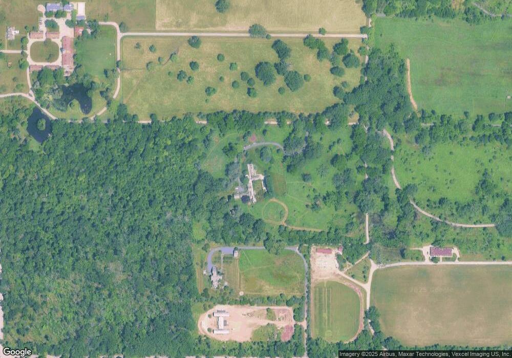
Map
Nearby Homes
- 117 E Washington Ave
- 120 E Scranton Ave Unit 202
- 120 E Scranton Ave Unit 203
- 120 E Scranton Ave Unit 201
- 120 E Scranton Ave Unit 102
- 120 E Scranton Ave Unit 103
- 666 Maple Ave
- 697 Bluff Rd
- 701 E Center Ave
- 55 Trowbridge Cir
- 188 Melvin Dr
- 321 Newman Ct
- 28 Warrington Dr
- 39 Warrington Dr
- 546 Lakeland Dr
- 8 Warrington Dr Unit 1
- 1061 Green Bay Rd
- 208 Park Ln
- 145 Moffett Rd
- 308 Signe Ct
- 227 E Blodgett Ave
- 235 E Blodgett Ave
- 765 Evanston Ave
- 241 E Blodgett Ave
- 764 Evanston Ave
- 247 E Blodgett Ave
- 145 E Blodgett Ave
- 301 E Blodgett Ave
- 139 E Blodgett Ave
- 135 E Blodgett Ave
- 311 E Blodgett Ave
- 129 E Blodgett Ave
- 319 E Blodgett Ave
- 224 E Woodland Rd
- 125 E Blodgett Ave
- 230 E Woodland Rd
- 234 E Woodland Rd
- 238 E Woodland Rd
- 146 E Woodland Rd
- 325 E Blodgett Ave