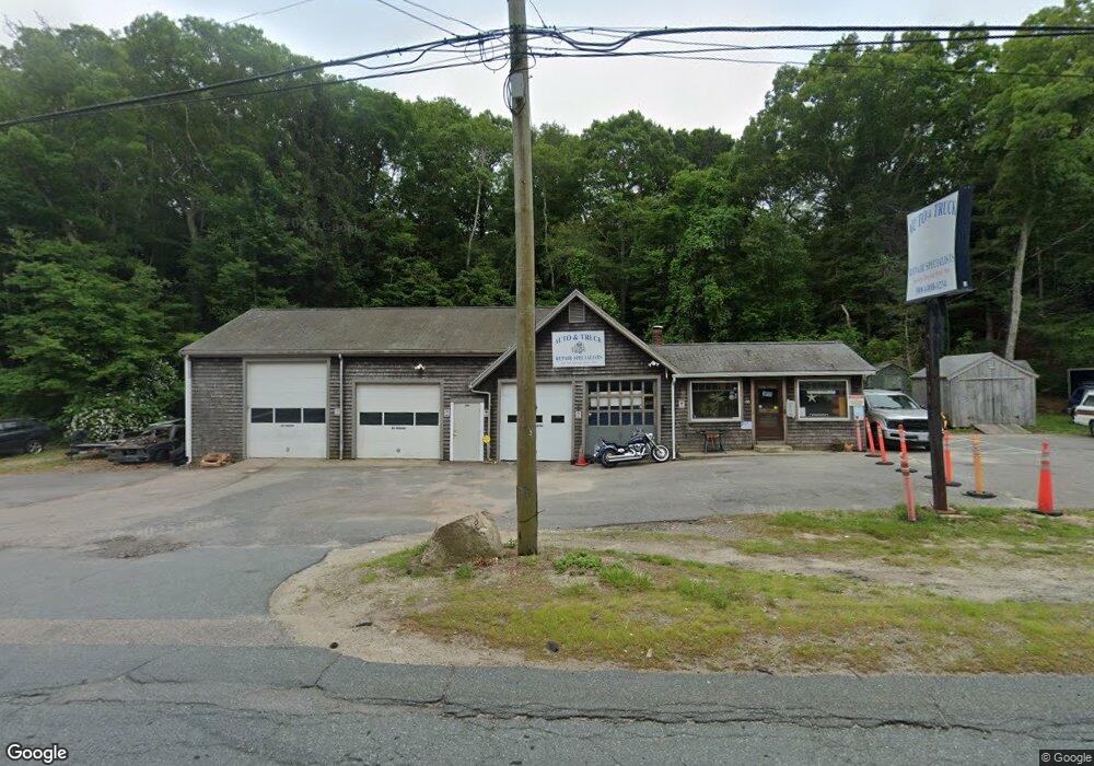
100 Cranberry Sagamore, MA 02561
Estimated Value: $513,847
Studio
--
Bath
2,998
Sq Ft
$171/Sq Ft
Est. Value
About This Home
This home is located at 100 Cranberry, Sagamore, MA 02561 and is currently estimated at $513,847, approximately $171 per square foot. 100 Cranberry is a home located in Barnstable County with nearby schools including Bourne High School, Bridgeview Montessori School, and Waldorf School of Cape Cod.
Ownership History
Date
Name
Owned For
Owner Type
Purchase Details
Closed on
Oct 15, 2020
Sold by
H & B Petroleum Inc
Bought by
Auto & Truck Repair Llc
Current Estimated Value
Home Financials for this Owner
Home Financials are based on the most recent Mortgage that was taken out on this home.
Original Mortgage
$175,000
Interest Rate
2.71%
Mortgage Type
Purchase Money Mortgage
Purchase Details
Closed on
Aug 10, 2006
Sold by
Slater Howard W
Bought by
H & B Petroleum Inc
Create a Home Valuation Report for This Property
The Home Valuation Report is an in-depth analysis detailing your home's value as well as a comparison with similar homes in the area
Home Values in the Area
Average Home Value in this Area
Purchase History
| Date | Buyer | Sale Price | Title Company |
|---|---|---|---|
| Auto & Truck Repair Llc | $350,000 | None Available | |
| Auto & Truck Repair Llc | $350,000 | None Available | |
| H & B Petroleum Inc | $450,000 | -- | |
| H & B Petroleum Inc | $450,000 | -- |
Source: Public Records
Mortgage History
| Date | Status | Borrower | Loan Amount |
|---|---|---|---|
| Previous Owner | Auto & Truck Repair Llc | $175,000 |
Source: Public Records
Tax History
| Year | Tax Paid | Tax Assessment Tax Assessment Total Assessment is a certain percentage of the fair market value that is determined by local assessors to be the total taxable value of land and additions on the property. | Land | Improvement |
|---|---|---|---|---|
| 2025 | $3,122 | $399,800 | $334,500 | $65,300 |
| 2024 | $3,052 | $380,600 | $318,600 | $62,000 |
| 2023 | $3,200 | $363,200 | $306,300 | $56,900 |
| 2022 | $3,648 | $361,500 | $288,000 | $73,500 |
| 2021 | $4,390 | $407,600 | $279,600 | $128,000 |
| 2020 | $4,297 | $400,100 | $274,100 | $126,000 |
| 2019 | $4,105 | $390,600 | $268,700 | $121,900 |
| 2018 | $3,950 | $374,800 | $258,400 | $116,400 |
| 2017 | $3,817 | $370,600 | $255,800 | $114,800 |
| 2016 | $3,765 | $370,600 | $255,800 | $114,800 |
| 2015 | $3,732 | $370,600 | $255,800 | $114,800 |
Source: Public Records
Map
Nearby Homes
- 51 Commonwealth Ave
- 51 Commonwealth Ave
- 896 Sandwich Rd
- 18 Gibbs Rd
- 8 Jillian Dr
- 4 Andrew Rd
- 15 Route 6a
- 6 Aspen Rd Unit 6
- 6 Aspen Rd
- 5 Candlewood Dr
- 16 Ocean Pines Dr Unit B
- 150 Herring Pond Rd
- 7 Bourne Ave
- 8 Driftwood Ln
- 0 State Rd
- 71 Tupper Rd
- 5 Pine St
- 133 Phillips Rd
- 10 Tecumseh Rd
- 368 Old Plymouth Rd
- 100 Cranberry
- 100 Cranberry Unit 3
- 100 Cranberry Hwy
- 46 Bluff Rd
- 2 Vermont St
- 2 Vermont St Unit 1 & 2
- 2 Vermont St
- 44 Bluff Rd
- 101 Cranberry Hwy
- 111 Cranberry Hwy
- 91 Cranberry Hwy
- 51 Bluff Rd
- 51 Bluff Rd Unit Yr round
- 51 Bluff Rd Unit Rd.
- 45 Bluff Rd
- 115 Cranberry Hwy
- 85 Cranberry Rd
- 85 Cranberry Hwy
- 85 Cranberry Hwy
- 43 Bluff Rd
Your Personal Tour Guide
Ask me questions while you tour the home.