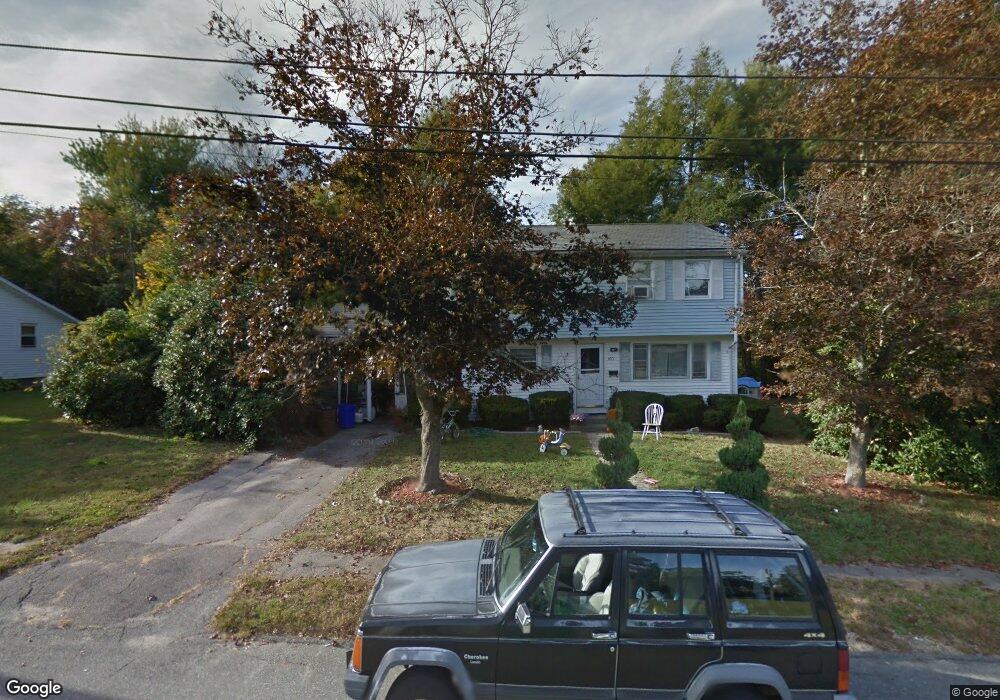
100 Cross Rd Braintree, MA 02184
South Braintree NeighborhoodEstimated Value: $657,000 - $718,606
4
Beds
2
Baths
1,700
Sq Ft
$405/Sq Ft
Est. Value
About This Home
This home is located at 100 Cross Rd, Braintree, MA 02184 and is currently estimated at $688,652, approximately $405 per square foot. 100 Cross Rd is a home located in Norfolk County with nearby schools including Braintree High School, First Baptist Christian School, and Thayer Academy.
Ownership History
Date
Name
Owned For
Owner Type
Purchase Details
Closed on
Sep 25, 1974
Bought by
Mccarthy Paul F and Mccarthy Alice M
Current Estimated Value
Create a Home Valuation Report for This Property
The Home Valuation Report is an in-depth analysis detailing your home's value as well as a comparison with similar homes in the area
Home Values in the Area
Average Home Value in this Area
Purchase History
| Date | Buyer | Sale Price | Title Company |
|---|---|---|---|
| Mccarthy Paul F | -- | -- |
Source: Public Records
Mortgage History
| Date | Status | Borrower | Loan Amount |
|---|---|---|---|
| Open | Mccarthy Paul F | $95,000 | |
| Closed | Mccarthy Paul F | $89,000 | |
| Closed | Mccarthy Paul F | $65,000 |
Source: Public Records
Tax History
| Year | Tax Paid | Tax Assessment Tax Assessment Total Assessment is a certain percentage of the fair market value that is determined by local assessors to be the total taxable value of land and additions on the property. | Land | Improvement |
|---|---|---|---|---|
| 2025 | $7,219 | $723,300 | $399,900 | $323,400 |
| 2024 | $6,403 | $675,400 | $363,000 | $312,400 |
| 2023 | $6,070 | $621,900 | $326,200 | $295,700 |
| 2022 | $5,559 | $558,700 | $294,600 | $264,100 |
| 2021 | $5,126 | $515,200 | $266,200 | $249,000 |
| 2020 | $4,841 | $491,000 | $242,000 | $249,000 |
| 2019 | $4,575 | $453,400 | $231,500 | $221,900 |
| 2018 | $4,321 | $410,000 | $210,500 | $199,500 |
| 2017 | $4,198 | $390,900 | $199,900 | $191,000 |
| 2016 | $4,052 | $369,000 | $189,400 | $179,600 |
| 2015 | $3,656 | $330,300 | $157,800 | $172,500 |
| 2014 | $3,554 | $311,200 | $151,500 | $159,700 |
Source: Public Records
Map
Nearby Homes
- 1568 Washington St
- 1579 Washington St
- 23 Portland Rd
- 9 Amherst Rd
- 6 Massachusetts Ave
- 49 Grove Cir
- 43 Grove Cir
- 127A Plain St
- 24 Evelyn Ln
- 145 Hancock St Unit 307
- 145 Hancock St Unit 201
- 1 Geraldine Ln
- 420 John Mahar Hwy Unit 202
- 422 John Mahar Hwy Unit 408
- 426 John Mahar Hwy Unit 408
- 426 John Mahar Hwy Unit 311
- 426 John Mahar Hwy Unit 406
- 6 Franklin St
- 80 Lake St
- 10 Jensen Farm Rd
Your Personal Tour Guide
Ask me questions while you tour the home.