100 Dean St Dillonvale, OH 43917
Estimated Value: $48,434 - $340,000
1
Bed
1
Bath
616
Sq Ft
$215/Sq Ft
Est. Value
About This Home
This home is located at 100 Dean St, Dillonvale, OH 43917 and is currently estimated at $132,359, approximately $214 per square foot. 100 Dean St is a home with nearby schools including Buckeye Local High School.
Ownership History
Date
Name
Owned For
Owner Type
Purchase Details
Closed on
Mar 13, 2018
Sold by
Home Partners Llc
Bought by
Equity & Help Inc and 100Dea917 Trust
Current Estimated Value
Purchase Details
Closed on
May 15, 2017
Sold by
Kingdom First Properties Llc
Bought by
Home Partners Llc
Purchase Details
Closed on
Jan 18, 2017
Sold by
Fannie Mae
Bought by
Kingdom First Properties Llc
Purchase Details
Closed on
Dec 15, 2016
Sold by
Frank Timothy M and Hsbc Bank Usa Na
Bought by
Federal National Mortgage Association
Purchase Details
Closed on
Jan 22, 2008
Sold by
Crothers Charlotte E and Crothers Gary
Bought by
Frank Timothy M
Home Financials for this Owner
Home Financials are based on the most recent Mortgage that was taken out on this home.
Original Mortgage
$31,350
Interest Rate
6.2%
Create a Home Valuation Report for This Property
The Home Valuation Report is an in-depth analysis detailing your home's value as well as a comparison with similar homes in the area
Purchase History
| Date | Buyer | Sale Price | Title Company |
|---|---|---|---|
| Equity & Help Inc | $9,900 | None Available | |
| Home Partners Llc | $8,925 | None Available | |
| Kingdom First Properties Llc | -- | None Available | |
| Federal National Mortgage Association | $20,000 | None Available | |
| Frank Timothy M | -- | -- |
Source: Public Records
Mortgage History
| Date | Status | Borrower | Loan Amount |
|---|---|---|---|
| Previous Owner | Frank Timothy M | $31,350 |
Source: Public Records
Tax History
| Year | Tax Paid | Tax Assessment Tax Assessment Total Assessment is a certain percentage of the fair market value that is determined by local assessors to be the total taxable value of land and additions on the property. | Land | Improvement |
|---|---|---|---|---|
| 2024 | $186 | $4,967 | $1,523 | $3,444 |
| 2023 | $186 | $8,446 | $1,488 | $6,958 |
| 2022 | $312 | $8,446 | $1,488 | $6,958 |
| 2021 | $312 | $8,446 | $1,488 | $6,958 |
| 2020 | $272 | $7,784 | $1,295 | $6,489 |
| 2019 | $275 | $0 | $0 | $0 |
| 2018 | $275 | $0 | $0 | $0 |
| 2017 | $346 | $0 | $0 | $0 |
| 2016 | $268 | $0 | $0 | $0 |
| 2015 | $343 | $0 | $0 | $0 |
| 2014 | $347 | $0 | $0 | $0 |
| 2012 | $167 | $10,815 | $735 | $10,080 |
Source: Public Records
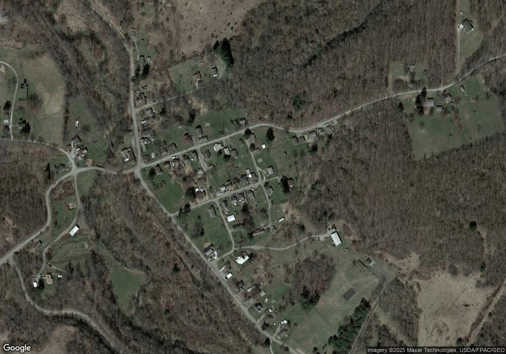
Map
Nearby Homes
- 0 County Road 11 Unit 25045538
- 1667 County Rd 11
- 0 County Rd 11 Unit 25043998
- 0 County Rd 11 Unit 25044885
- 0 County Rd 11 Unit 25043272
- 2709 C R 11
- 2040 State Route 152
- 61 Green St
- 61 Green St
- 77 North St
- 103 Horeshoe Aly
- 33 Hill St
- 4000 State Route 152
- 3275 County Road 15
- 7875 State Route 151
- 1357 4th St
- 102 High St
- 6803 County Road 22a
- 324 Central St
- 200 Cross St
- 92 Dean St
- 86 Dean St
- 95 Dean St
- 120 Tr 134 St
- 85 Dean St
- 77 Dean St
- 1902 Township Road 134
- 1886 Tr 134
- 135 Dean St
- 69 Dean St
- 1926 Tr 134
- 1938 Township Road 134
- 1903 Tr 134
- 1962 Township Road 134
- 1939 Township Road 134
- 41 Tr 1181
- 9 Tr 1181
- 1812 Township Road 134
- 3101 County Road 11
- 2861 County Road 11
Your Personal Tour Guide
Ask me questions while you tour the home.