Estimated Value: $105,536 - $179,000
2
Beds
1
Bath
1,800
Sq Ft
$78/Sq Ft
Est. Value
About This Home
This home is located at 100 Dempsey Rd, Cope, SC 29038 and is currently estimated at $140,884, approximately $78 per square foot. 100 Dempsey Rd is a home located in Orangeburg County with nearby schools including Edisto Primary, Edisto Elementary, and Carver Edisto Middle School.
Ownership History
Date
Name
Owned For
Owner Type
Purchase Details
Closed on
Oct 15, 2025
Sold by
Dempsey R Michael R and Dempsey Michael R
Bought by
Dempsey Rodney Michael and Dempsey Michael R
Current Estimated Value
Purchase Details
Closed on
Jan 25, 2016
Sold by
Breast And Thigh Poultry Llc
Bought by
Smith Rodney
Purchase Details
Closed on
Nov 1, 2012
Sold by
Dempsey Mike
Bought by
Breast & Thigh Poultry Llc
Home Financials for this Owner
Home Financials are based on the most recent Mortgage that was taken out on this home.
Original Mortgage
$2,500,000
Interest Rate
3.4%
Mortgage Type
Future Advance Clause Open End Mortgage
Create a Home Valuation Report for This Property
The Home Valuation Report is an in-depth analysis detailing your home's value as well as a comparison with similar homes in the area
Purchase History
| Date | Buyer | Sale Price | Title Company |
|---|---|---|---|
| Dempsey Rodney Michael | -- | None Listed On Document | |
| Smith Rodney | $449,000 | None Available | |
| Breast & Thigh Poultry Llc | $446,875 | -- |
Source: Public Records
Mortgage History
| Date | Status | Borrower | Loan Amount |
|---|---|---|---|
| Previous Owner | Breast & Thigh Poultry Llc | $2,500,000 |
Source: Public Records
Tax History
| Year | Tax Paid | Tax Assessment Tax Assessment Total Assessment is a certain percentage of the fair market value that is determined by local assessors to be the total taxable value of land and additions on the property. | Land | Improvement |
|---|---|---|---|---|
| 2024 | $63 | $2,330 | $676 | $1,654 |
| 2023 | $14 | $2,093 | $609 | $1,484 |
| 2022 | $1,274 | $2,093 | $609 | $1,484 |
| 2021 | $1,265 | $2,093 | $609 | $1,484 |
| 2020 | $1,166 | $2,093 | $609 | $1,484 |
| 2019 | $1,128 | $3,139 | $0 | $0 |
| 2018 | $1,078 | $2,917 | $0 | $0 |
| 2017 | $1,063 | $2,917 | $0 | $0 |
| 2016 | $1,056 | $2,917 | $0 | $0 |
| 2015 | $1,000 | $1,945 | $0 | $0 |
| 2014 | $1,000 | $1,945 | $609 | $1,336 |
| 2013 | -- | $2,021 | $609 | $1,412 |
Source: Public Records
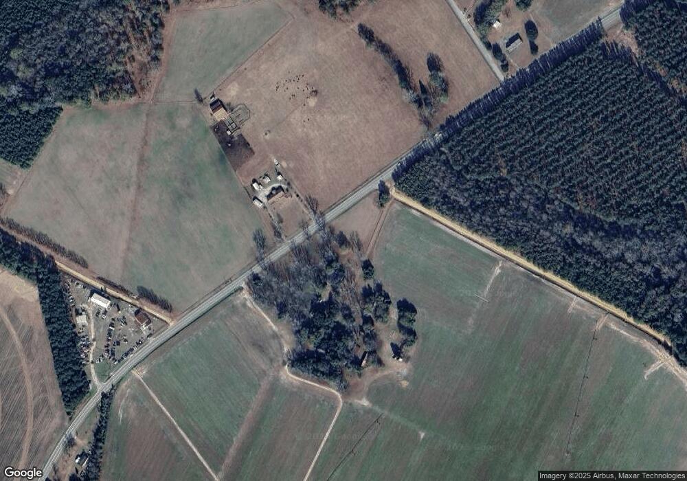
Map
Nearby Homes
- 142 Brown Meadows Ct
- 598 Binnicker Bridge Rd
- 122 Retha Rd
- 156 Retha Rd
- 234 Binnicker Bridge Rd
- 2036 Colony Dr
- 2024 Colony Dr
- 103 Courtney Ln
- 3735 Bamberg Rd
- 259 Bill Salley Rd
- Tbd Binnicker Bridge Rd
- 1035 Norway Rd Unit Of
- 2672 Frazier Ln
- 2099 Legrand Smoak St
- 124 Mott Dr
- 3230 Cordova Rd
- Tbd Slablanding Rd Unit Bolentown SC
- 142 Sturkie St
- 0 Frolic Meadows Ln Unit Lane 24022605
- 00 Ryn St
- 100 Dempsey Rd
- 1004 Binnicker Bridge Rd
- 922 Binnicker Rd
- 782 Binnicker Bridge Rd
- 126 Marigold Rd
- 1071 Binnicker Bridge Rd
- 154 Marigold Rd
- 1075 Binnicker Bridge Rd
- 740 Binnicker Bridge Rd
- 1091 Binnicker Bridge Rd
- 119 Ferndale Rd
- 1115 Binnicker Bridge Rd
- 118 Poplar Grove Rd
- 260 Dempsey Rd
- 223 Copper Rd
- 110 Poplar Grove Rd
- 176 Ferndale Rd
- 205 Ferndale Rd
- 170 Poplar Grove Rd
Your Personal Tour Guide
Ask me questions while you tour the home.