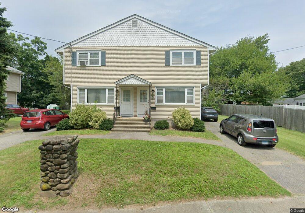
100 Dunbar Rd Milford, CT 06460
Devon NeighborhoodEstimated Value: $482,321 - $954,000
5
Beds
3
Baths
2,448
Sq Ft
$274/Sq Ft
Est. Value
About This Home
This home is located at 100 Dunbar Rd, Milford, CT 06460 and is currently estimated at $669,580, approximately $273 per square foot. 100 Dunbar Rd is a home with nearby schools including Meadowside School, West Shore Middle School, and Jonathan Law High School.
Ownership History
Date
Name
Owned For
Owner Type
Purchase Details
Closed on
Aug 3, 2016
Sold by
Alicki Anthony
Bought by
Alicki Anthony
Current Estimated Value
Purchase Details
Closed on
May 31, 2001
Sold by
Avery George H and Avery Patricia
Bought by
Kiska Brian and Alicki Michelle
Home Financials for this Owner
Home Financials are based on the most recent Mortgage that was taken out on this home.
Original Mortgage
$177,219
Interest Rate
7.09%
Create a Home Valuation Report for This Property
The Home Valuation Report is an in-depth analysis detailing your home's value as well as a comparison with similar homes in the area
Home Values in the Area
Average Home Value in this Area
Purchase History
| Date | Buyer | Sale Price | Title Company |
|---|---|---|---|
| Alicki Anthony | -- | -- | |
| Alicki Anthony | -- | -- | |
| Kiska Brian | $180,000 | -- | |
| Kiska Brian | $180,000 | -- |
Source: Public Records
Mortgage History
| Date | Status | Borrower | Loan Amount |
|---|---|---|---|
| Previous Owner | Kiska Brian | $177,219 |
Source: Public Records
Tax History Compared to Growth
Tax History
| Year | Tax Paid | Tax Assessment Tax Assessment Total Assessment is a certain percentage of the fair market value that is determined by local assessors to be the total taxable value of land and additions on the property. | Land | Improvement |
|---|---|---|---|---|
| 2025 | $7,218 | $244,260 | $97,370 | $146,890 |
| 2024 | $7,118 | $244,260 | $97,370 | $146,890 |
| 2023 | $6,637 | $244,260 | $97,370 | $146,890 |
| 2022 | $6,510 | $244,260 | $97,370 | $146,890 |
| 2021 | $5,432 | $196,440 | $65,520 | $130,920 |
| 2020 | $5,437 | $196,440 | $65,520 | $130,920 |
| 2019 | $5,443 | $196,440 | $65,520 | $130,920 |
| 2018 | $5,449 | $196,440 | $65,520 | $130,920 |
| 2017 | $5,459 | $196,440 | $65,520 | $130,920 |
| 2016 | $5,583 | $200,540 | $50,960 | $149,580 |
| 2015 | $5,591 | $200,540 | $50,960 | $149,580 |
| 2014 | $5,459 | $200,540 | $50,960 | $149,580 |
Source: Public Records
Map
Nearby Homes
- 73 Whitney Ave
- 77 Whitney Ave
- 108 Crabtree Ln
- 72 Whitney Ave
- 76 Whitney Ave
- 63 Whitney Ave
- 66 Whitney Ave
- 81 Whitney Ave
- 98 Crabtree Ln
- 92 Crabtree Ln
- 82 Whitney Ave
- 83 Whitney Ave
- 57 Whitney Ave
- 61 Turnor Ave
- 47 Turnor Ave
- 58 Whitney Ave
- 88 Crabtree Ln
- 109 Crabtree Ln
- 115 Crabtree Ln
- 90 Whitney Ave