100 Duncan Cemetery Ln Pearson, GA 31642
Estimated Value: $45,000 - $106,000
--
Bed
--
Bath
1,344
Sq Ft
$56/Sq Ft
Est. Value
About This Home
This home is located at 100 Duncan Cemetery Ln, Pearson, GA 31642 and is currently estimated at $75,102, approximately $55 per square foot. 100 Duncan Cemetery Ln is a home with nearby schools including Pearson Elementary School, Willacoochee Elementary School, and Atkinson County High School.
Ownership History
Date
Name
Owned For
Owner Type
Purchase Details
Closed on
Mar 23, 2020
Sold by
Leavens James David
Bought by
Carter Christopher Foye
Current Estimated Value
Purchase Details
Closed on
Oct 6, 2008
Sold by
Wiggins Patricia A
Bought by
Leavens James David
Purchase Details
Closed on
Jan 26, 2006
Sold by
Wiggins Patricia A
Bought by
Wiggens James T
Purchase Details
Closed on
May 4, 1999
Sold by
Spivey Tommy
Bought by
Wiggins James T and Wiggins Patric
Purchase Details
Closed on
Jun 23, 1995
Bought by
Spivey Tommy
Create a Home Valuation Report for This Property
The Home Valuation Report is an in-depth analysis detailing your home's value as well as a comparison with similar homes in the area
Home Values in the Area
Average Home Value in this Area
Purchase History
| Date | Buyer | Sale Price | Title Company |
|---|---|---|---|
| Carter Christopher Foye | $25,000 | -- | |
| Leavens James David | $48,500 | -- | |
| Wiggens James T | -- | -- | |
| Wiggins James T | $20,000 | -- | |
| Spivey Tommy | $12,000 | -- |
Source: Public Records
Tax History Compared to Growth
Tax History
| Year | Tax Paid | Tax Assessment Tax Assessment Total Assessment is a certain percentage of the fair market value that is determined by local assessors to be the total taxable value of land and additions on the property. | Land | Improvement |
|---|---|---|---|---|
| 2024 | $274 | $8,972 | $6,584 | $2,388 |
| 2023 | $274 | $8,972 | $6,584 | $2,388 |
| 2022 | $273 | $8,972 | $6,584 | $2,388 |
| 2021 | $288 | $8,972 | $6,584 | $2,388 |
| 2020 | $288 | $8,972 | $6,584 | $2,388 |
| 2019 | $345 | $12,736 | $6,584 | $6,152 |
| 2018 | $412 | $12,736 | $6,584 | $6,152 |
| 2017 | $345 | $12,736 | $6,584 | $6,152 |
| 2016 | $345 | $12,736 | $6,584 | $6,152 |
| 2015 | -- | $12,735 | $6,584 | $6,152 |
| 2014 | -- | $12,736 | $6,584 | $6,152 |
Source: Public Records
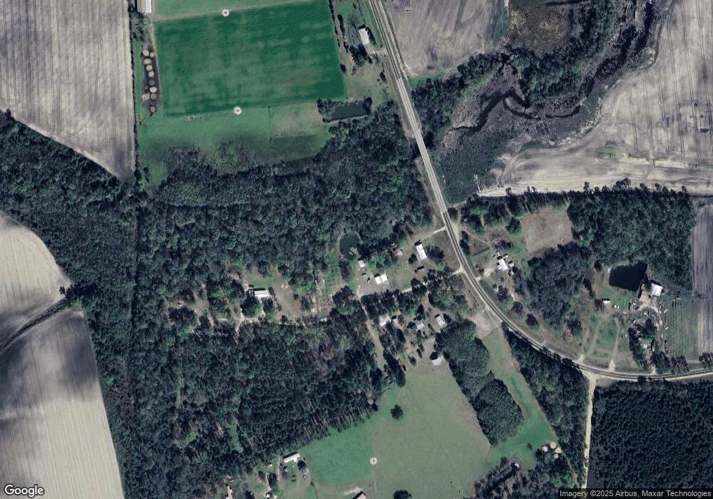
Map
Nearby Homes
- 3526 Stagecoach Rd
- 110 Shortrun Ln
- 00 Us-441 S
- 0 Honeysuckle Ln Unit 10623320
- 149 Red Bluff Rd
- 1386 Carswell Street Extension
- 1362 Carswell Street Extension
- 0 William St
- 1398 Adventure Trail
- 0 Locklier Rd
- 429 Holly Dr
- 0 Grey Hawk Rd
- 911 Woodlake Dr
- 59 Ann St
- 222 E Elna St
- 314 Pine St
- 0 U S 84 Unit 2 10563291
- 0 U S 84 Unit 1 10563254
- 0 U S 84 Unit 3 10563296
- 0 U S 84 Unit 4 10563302