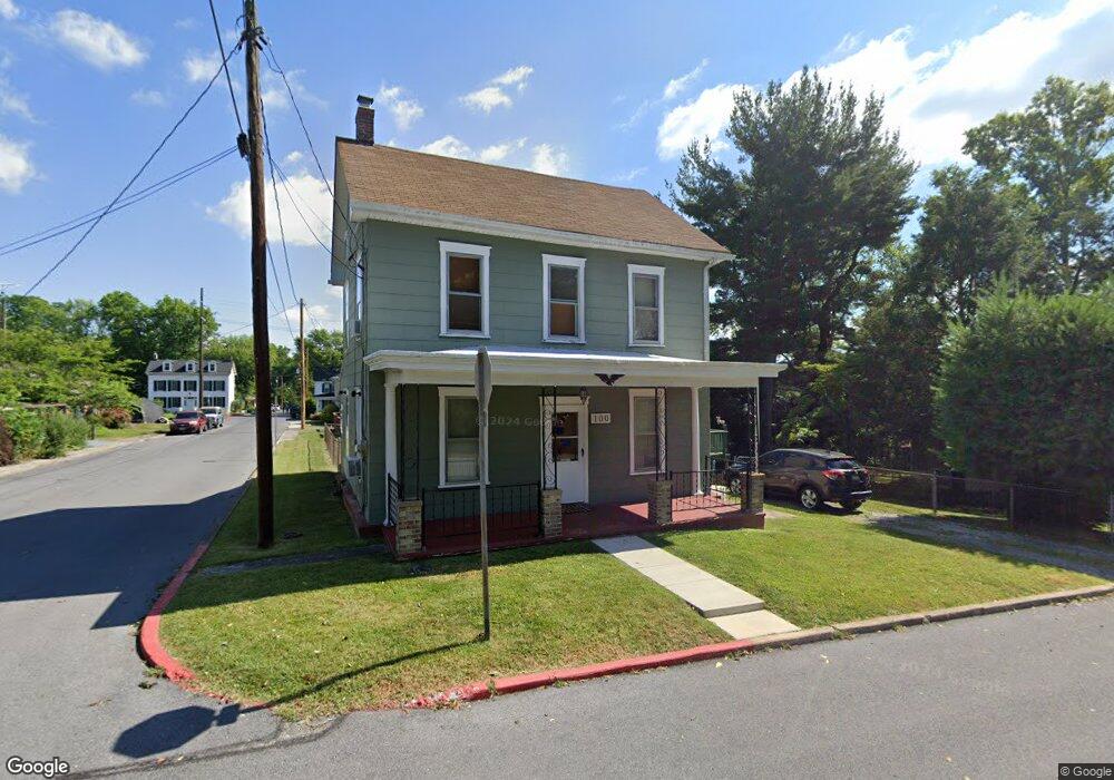
100 E Chestnut Ave Funkstown, MD 21734
Estimated Value: $173,714 - $275,000
--
Bed
1
Bath
1,198
Sq Ft
$200/Sq Ft
Est. Value
About This Home
This home is located at 100 E Chestnut Ave, Funkstown, MD 21734 and is currently estimated at $239,179, approximately $199 per square foot. 100 E Chestnut Ave is a home located in Washington County with nearby schools including Ruth Ann Monroe Primary School, Eastern Elementary School, and E. Russell Hicks Middle School.
Ownership History
Date
Name
Owned For
Owner Type
Purchase Details
Closed on
Mar 16, 1999
Sold by
Spradlin Edward L and Spradlin Gail L
Bought by
Thomas Randall J and Thomas Sharon J
Current Estimated Value
Purchase Details
Closed on
Jul 30, 1992
Sold by
Spigler Samuel K
Bought by
Spradlin Edward L and Spradlin Gail L
Home Financials for this Owner
Home Financials are based on the most recent Mortgage that was taken out on this home.
Original Mortgage
$73,000
Interest Rate
8.08%
Purchase Details
Closed on
Apr 10, 1981
Sold by
Burner Junior L
Bought by
Spigler Samuel K
Create a Home Valuation Report for This Property
The Home Valuation Report is an in-depth analysis detailing your home's value as well as a comparison with similar homes in the area
Home Values in the Area
Average Home Value in this Area
Purchase History
| Date | Buyer | Sale Price | Title Company |
|---|---|---|---|
| Thomas Randall J | $70,000 | -- | |
| Spradlin Edward L | $73,000 | -- | |
| Spigler Samuel K | $35,500 | -- |
Source: Public Records
Mortgage History
| Date | Status | Borrower | Loan Amount |
|---|---|---|---|
| Previous Owner | Spradlin Edward L | $73,000 | |
| Closed | Thomas Randall J | -- |
Source: Public Records
Tax History Compared to Growth
Tax History
| Year | Tax Paid | Tax Assessment Tax Assessment Total Assessment is a certain percentage of the fair market value that is determined by local assessors to be the total taxable value of land and additions on the property. | Land | Improvement |
|---|---|---|---|---|
| 2025 | $931 | $122,333 | $0 | $0 |
| 2024 | $931 | $102,200 | $53,600 | $48,600 |
| 2023 | $926 | $101,633 | $0 | $0 |
| 2022 | $921 | $101,067 | $0 | $0 |
| 2021 | $936 | $100,500 | $53,600 | $46,900 |
| 2020 | $936 | $100,500 | $53,600 | $46,900 |
| 2019 | $940 | $100,500 | $53,600 | $46,900 |
| 2018 | $1,014 | $108,500 | $61,100 | $47,400 |
| 2017 | $1,012 | $108,267 | $0 | $0 |
| 2016 | -- | $108,033 | $0 | $0 |
| 2015 | $990 | $107,800 | $0 | $0 |
| 2014 | $990 | $107,800 | $0 | $0 |
Source: Public Records
Map
Nearby Homes
- 104 Bethlehem Ct
- 24 W Cemetery St
- 12.3 AC Southern Blvd
- 1432 Oak Ridge Place
- 701 Beaver Creek Rd
- 27 Hebb Rd
- 90 Charlotte St
- 1619 Dual Hwy
- 315 Emmert Rd
- 628 Knightsbridge Dr
- 1747 Edgewood Hill Cir Unit 201
- 1635 Edgewood Place Unit 2
- 1631 Edgewood Place Unit 103
- 622 Knightsbridge Dr
- 1203 Peppercorn Dr
- 0 Kenly Ave
- 920 Frederick St
- 101 Tulip Ct
- 206 Winding Oak Dr
- 1002 Brinker Dr Unit 302
- 107 N High St
- 104 E Chestnut Ave
- 20 E Chestnut St
- 109 N High St
- 20 E Chestnut St
- 20 & 22 E Chestnut St
- 109 E Chestnut St
- 77 N High St
- 108 N High St
- 111 E Chestnut St
- 110 Chestnut St Unit 1
- 111 N High St
- 111 High St N
- 110 E Chestnut St Unit 8
- 103 E Poplar St
- 601 Edgewood Dr
- 100 E Poplar St
- 108 E Baltimore St
- 100 E Baltimore St
- 106 E Baltimore St