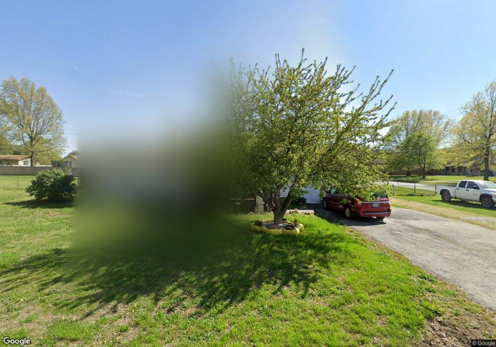
100 E Chrysler Ave Clever, MO 65631
Estimated Value: $193,000 - $236,000
3
Beds
1
Bath
1,080
Sq Ft
$199/Sq Ft
Est. Value
About This Home
This home is located at 100 E Chrysler Ave, Clever, MO 65631 and is currently estimated at $214,650, approximately $198 per square foot. 100 E Chrysler Ave is a home with nearby schools including Clever High School.
Ownership History
Date
Name
Owned For
Owner Type
Purchase Details
Closed on
Dec 6, 2024
Sold by
Jk & Pk Properties Llc
Bought by
Waters Darin and Waters Rhonda
Current Estimated Value
Home Financials for this Owner
Home Financials are based on the most recent Mortgage that was taken out on this home.
Original Mortgage
$113,898
Outstanding Balance
$112,526
Interest Rate
6.54%
Mortgage Type
FHA
Estimated Equity
$102,124
Purchase Details
Closed on
Aug 11, 2023
Sold by
Hodges Becky Le
Bought by
Standard Seal Llc
Purchase Details
Closed on
Aug 28, 2019
Sold by
King James D and King Pamela S
Bought by
Jk & Pk Properties Llc
Create a Home Valuation Report for This Property
The Home Valuation Report is an in-depth analysis detailing your home's value as well as a comparison with similar homes in the area
Home Values in the Area
Average Home Value in this Area
Purchase History
| Date | Buyer | Sale Price | Title Company |
|---|---|---|---|
| Waters Darin | -- | Great American Title | |
| Waters Darin | -- | Great American Title | |
| Standard Seal Llc | -- | Preferred Title | |
| Jk & Pk Properties Llc | -- | None Available |
Source: Public Records
Mortgage History
| Date | Status | Borrower | Loan Amount |
|---|---|---|---|
| Open | Waters Darin | $113,898 | |
| Closed | Waters Darin | $113,898 |
Source: Public Records
Tax History
| Year | Tax Paid | Tax Assessment Tax Assessment Total Assessment is a certain percentage of the fair market value that is determined by local assessors to be the total taxable value of land and additions on the property. | Land | Improvement |
|---|---|---|---|---|
| 2025 | $1,064 | $18,260 | -- | -- |
| 2024 | $1,064 | $17,230 | -- | -- |
| 2023 | $1,064 | $17,230 | $0 | $0 |
| 2022 | $952 | $15,330 | $0 | $0 |
| 2021 | $953 | $15,330 | $0 | $0 |
| 2020 | $882 | $14,040 | $0 | $0 |
| 2019 | $882 | $14,040 | $0 | $0 |
| 2018 | $804 | $12,840 | $0 | $0 |
| 2017 | $804 | $12,840 | $0 | $0 |
| 2016 | $778 | $12,620 | $0 | $0 |
| 2015 | $779 | $12,620 | $12,620 | $0 |
| 2014 | $754 | $12,650 | $0 | $0 |
| 2013 | $8 | $12,650 | $0 | $0 |
| 2011 | $8 | $25,300 | $0 | $0 |
Source: Public Records
Map
Nearby Homes
- 123 E Nola Dr
- 412 N Cherokee Trail
- 410 N Cherokee Trail
- 416 N Cherokee Trail
- 414 N Cherokee Trail
- 603 N Acacia Ave
- 605 N Acacia Ave
- 203 W Brown St
- 118 N Acacia Ave
- 407 W Brown St
- 519 N Elm Ave
- 411 W Westgate Dr
- 7830 Snowdrop Ave
- 509 Sugar Ln
- 214 Forgey Rd
- 607 W Osage St
- 111 Ashton Ave
- 118 Evergreen Cir
- 418 Forgey Rd
- 201 N Lake Ave
- 101 E Chrysler Ave
- 107 W Meadowbrook Ave
- 301 N Public Ave
- 105 W Meadowbrook Ave
- 112 W Meadowbrook Ave
- 100 E Meadowbrook Ave
- 105 W Chrysler
- 103 W Meadowbrook Ave
- 102 W Chrysler St
- 101 W Meadowbrook Ave
- 103 W Chrysler St
- 0 N Public Ave Unit 11402531
- 0 N Public Ave Unit 60046793
- 0 N Public Ave Unit 60053558
- 0 N Public Ave Unit 60069718
- 0 N Public Ave Unit 60069716
- 0 N Public Ave Unit 60069720
- 0 N Public Ave Unit 60069715
- 0 N Public Ave Unit 60069717
- 0 N Public Ave Unit 60069719
Your Personal Tour Guide
Ask me questions while you tour the home.