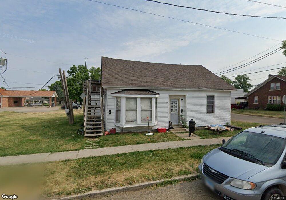
100 E Euclid Ave Lewistown, IL 61542
Estimated Value: $52,582 - $98,000
--
Bed
--
Bath
1,562
Sq Ft
$50/Sq Ft
Est. Value
About This Home
This home is located at 100 E Euclid Ave, Lewistown, IL 61542 and is currently estimated at $78,396, approximately $50 per square foot. 100 E Euclid Ave is a home with nearby schools including Central Elementary School, Lewistown Elementary School, and Lewistown Junior/Senior High School.
Ownership History
Date
Name
Owned For
Owner Type
Purchase Details
Closed on
Aug 29, 2019
Sold by
Halbert Nicholas G
Bought by
Higgins Justin
Current Estimated Value
Home Financials for this Owner
Home Financials are based on the most recent Mortgage that was taken out on this home.
Original Mortgage
$18,800
Interest Rate
6.25%
Mortgage Type
Construction
Purchase Details
Closed on
Oct 18, 2010
Create a Home Valuation Report for This Property
The Home Valuation Report is an in-depth analysis detailing your home's value as well as a comparison with similar homes in the area
Home Values in the Area
Average Home Value in this Area
Purchase History
| Date | Buyer | Sale Price | Title Company |
|---|---|---|---|
| Higgins Justin | $20,000 | Attorney Only | |
| -- | $14,000 | -- |
Source: Public Records
Mortgage History
| Date | Status | Borrower | Loan Amount |
|---|---|---|---|
| Closed | Higgins Justin | $18,800 |
Source: Public Records
Tax History Compared to Growth
Tax History
| Year | Tax Paid | Tax Assessment Tax Assessment Total Assessment is a certain percentage of the fair market value that is determined by local assessors to be the total taxable value of land and additions on the property. | Land | Improvement |
|---|---|---|---|---|
| 2024 | $827 | $9,920 | $2,280 | $7,640 |
| 2023 | $827 | $9,490 | $2,180 | $7,310 |
| 2022 | $856 | $9,490 | $2,180 | $7,310 |
| 2021 | $856 | $8,590 | $2,180 | $6,410 |
| 2020 | $823 | $8,310 | $2,110 | $6,200 |
| 2019 | $1,327 | $13,310 | $2,140 | $11,170 |
| 2018 | $1,296 | $13,060 | $2,100 | $10,960 |
| 2017 | $1,274 | $13,060 | $2,100 | $10,960 |
| 2016 | $1,261 | $12,610 | $2,030 | $10,580 |
| 2015 | $1,259 | $12,610 | $2,030 | $10,580 |
| 2013 | -- | $12,290 | $1,980 | $10,310 |
| 2012 | -- | $11,990 | $1,930 | $10,060 |
Source: Public Records
Map
Nearby Homes
- 428 N Main St
- 704 S Main St
- 330 W Avenue G
- 510 W Milton Ave
- 13 Melrose Ln
- 1205 S Main St
- 1320 N Broadway St
- 206 N Robinson St
- 0 N Highway 9 County Rd Unit RMAPA1260470
- 1426 N Main St
- 1428 N Main St
- 000 Highway 24
- 16236 E Lakeview Dr
- 16853 N Wright Rd
- 12009 E Co 14 Hwy
- County 14 Lot Unit WP001
- 15972 N Ridge Rd
- 14953 E Grain Bin Rd
- 10315 E County 14 Hwy
- 10206 E County 14 Hwy
- 202 E Euclid Ave
- 310 E Euclid Ave
- 203 E Euclid Ave
- 0 E Euclid Ave
- 319 E Euclid Ave
- 318 E Euclid Ave
- 215 S Maple St
- 215 E Lincoln Ave
- 222 S Illinois St
- 222 E Lincoln Ave
- 117 E Avenue B
- 117 E Avenue B
- 115 S Illinois St
- 155 W Lincoln Ave
- 105 S Illinois St
- 100 N Illinois St
- 111 N Maple St
- 171 W Lincoln Ave
- 275 E Avenue B
- 101 S Illinois St