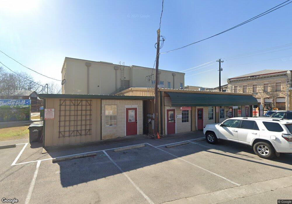
100 E Myrtle St Unit D Liberty Hill, TX 78642
Estimated Value: $288,627
--
Bed
5
Baths
1,980
Sq Ft
$146/Sq Ft
Est. Value
About This Home
This home is located at 100 E Myrtle St Unit D, Liberty Hill, TX 78642 and is currently estimated at $288,627, approximately $145 per square foot. 100 E Myrtle St Unit D is a home located in Williamson County with nearby schools including Liberty Hill Elementary School, Liberty Hill High School, and Fortis Academy.
Ownership History
Date
Name
Owned For
Owner Type
Purchase Details
Closed on
Sep 26, 2005
Sold by
Revelle Paul D and Brothers Revelle
Bought by
G & L Cercone Llc
Current Estimated Value
Home Financials for this Owner
Home Financials are based on the most recent Mortgage that was taken out on this home.
Original Mortgage
$84,000
Outstanding Balance
$44,876
Interest Rate
5.73%
Mortgage Type
Purchase Money Mortgage
Estimated Equity
$243,751
Purchase Details
Closed on
Jan 29, 2005
Sold by
Brothers Revelle
Bought by
Revelle Paul D
Create a Home Valuation Report for This Property
The Home Valuation Report is an in-depth analysis detailing your home's value as well as a comparison with similar homes in the area
Home Values in the Area
Average Home Value in this Area
Purchase History
| Date | Buyer | Sale Price | Title Company |
|---|---|---|---|
| G & L Cercone Llc | -- | None Available | |
| Revelle Paul D | -- | Longhorn Title Co Inc |
Source: Public Records
Mortgage History
| Date | Status | Borrower | Loan Amount |
|---|---|---|---|
| Open | G & L Cercone Llc | $84,000 |
Source: Public Records
Tax History Compared to Growth
Tax History
| Year | Tax Paid | Tax Assessment Tax Assessment Total Assessment is a certain percentage of the fair market value that is determined by local assessors to be the total taxable value of land and additions on the property. | Land | Improvement |
|---|---|---|---|---|
| 2025 | $6,102 | $279,297 | $164,158 | $115,139 |
| 2024 | $6,102 | $279,297 | $164,158 | $115,139 |
| 2023 | $4,819 | $232,893 | $70,249 | $162,644 |
| 2022 | $4,735 | $211,213 | $43,906 | $167,307 |
| 2021 | $4,373 | $184,435 | $24,392 | $160,043 |
| 2020 | $4,279 | $169,988 | $23,172 | $146,816 |
| 2019 | $3,901 | $150,213 | $23,904 | $126,309 |
| 2018 | $3,780 | $145,555 | $23,050 | $122,505 |
| 2017 | $3,983 | $152,460 | $21,983 | $130,477 |
| 2016 | $3,935 | $148,705 | $21,983 | $126,722 |
| 2015 | $4,140 | $148,705 | $21,556 | $127,149 |
| 2014 | $4,140 | $155,474 | $0 | $0 |
Source: Public Records
Map
Nearby Homes
- 3303 Ranch Road 1869
- 50 County Road 279
- 631 Main St
- 9050 Tract 3 Ranch To Market Road 1869
- 804 Main St
- 205 Fallwell St
- 209 Fallwell St
- 200 Bluebonnet Ln
- 212 Bluebonnet Ln
- 114 Bryson Bend
- 109 Bryson Bend
- 208 Purser St
- 200 Carl Shipp Dr
- 104 Matthews Cir
- 207 Panther Path
- 105 Stallion Way
- 329 Charli Cir
- 112 Dax Dr
- 8592 Ranch Rd Unit 1869
- 280 Ranch Rd Unit 1869
- 100 E Myrtle St
- 918 Main St
- 1004 Loop 332
- 926 Loop 332
- Lot B Loop - 332
- Lot C Loop-- 332
- Lot A Loop 332
- CR 288 Tract 1 Unit Adjacent to 901 CR 2
- 1002 Main St
- 929 Main St
- 902 Loop 332 Cr279
- 925 Main St
- 925 Main St Unit C
- 923 Main St Unit B
- 923 Main St Unit A
- 923 Main St
- 1002 Texas 332 Loop
- 923 Main St
- 921 Main St
- 106 E Myrtle St