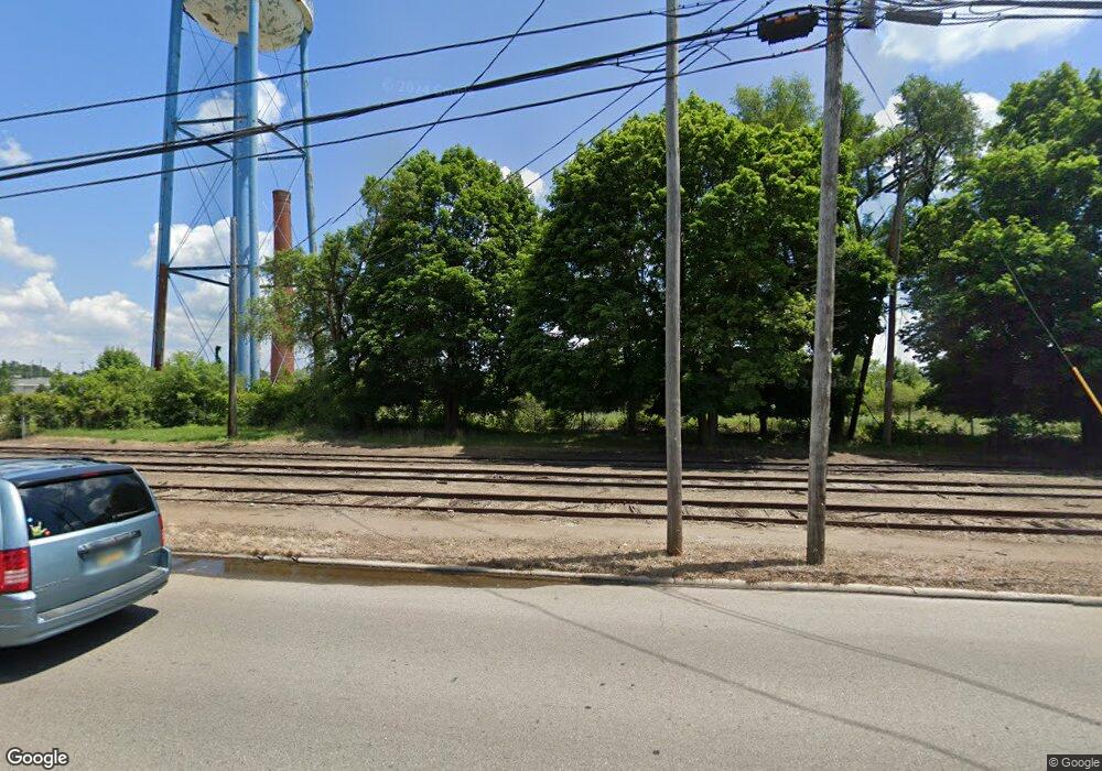
100 E Patterson St Tecumseh, MI 49286
Estimated Value: $527,353
Studio
--
Bath
300,000
Sq Ft
$2/Sq Ft
Est. Value
About This Home
This home is located at 100 E Patterson St, Tecumseh, MI 49286 and is currently estimated at $527,353, approximately $1 per square foot. 100 E Patterson St is a home located in Lenawee County with nearby schools including Tecumseh Acres Early Learning Center, Tecumseh Middle School, and Tecumseh High School.
Ownership History
Date
Name
Owned For
Owner Type
Purchase Details
Closed on
Nov 10, 2021
Sold by
100 East Patterson Llc
Bought by
Lenawee County
Current Estimated Value
Purchase Details
Closed on
Sep 8, 2016
Sold by
Tecumseh Food Machinery & Equipment Llc
Bought by
100 Fast Patterson Llc
Home Financials for this Owner
Home Financials are based on the most recent Mortgage that was taken out on this home.
Original Mortgage
$324,000
Interest Rate
3.43%
Mortgage Type
New Conventional
Purchase Details
Closed on
Dec 17, 2009
Sold by
Tecumseh Products Co
Bought by
Tecumseh Bakery Llc
Create a Home Valuation Report for This Property
The Home Valuation Report is an in-depth analysis detailing your home's value as well as a comparison with similar homes in the area
Home Values in the Area
Average Home Value in this Area
Purchase History
| Date | Buyer | Sale Price | Title Company |
|---|---|---|---|
| Lenawee County | -- | None Available | |
| 100 Fast Patterson Llc | -- | None Available | |
| Tecumseh Bakery Llc | $500 | None Available |
Source: Public Records
Mortgage History
| Date | Status | Borrower | Loan Amount |
|---|---|---|---|
| Previous Owner | 100 Fast Patterson Llc | $324,000 |
Source: Public Records
Tax History
| Year | Tax Paid | Tax Assessment Tax Assessment Total Assessment is a certain percentage of the fair market value that is determined by local assessors to be the total taxable value of land and additions on the property. | Land | Improvement |
|---|---|---|---|---|
| 2025 | -- | $0 | $0 | $0 |
| 2024 | -- | $0 | $0 | $0 |
| 2023 | -- | $0 | $0 | $0 |
| 2022 | $19,610 | $0 | $0 | $0 |
| 2021 | $19,610 | $374,300 | $0 | $0 |
| 2020 | $19,783 | $369,900 | $0 | $0 |
| 2019 | $19,614 | $384,100 | $83,900 | $300,200 |
| 2017 | $38,063 | $610,900 | $83,900 | $527,000 |
| 2016 | $37,954 | $608,000 | $83,900 | $524,100 |
| 2014 | $94,047 | $1,023,600 | $83,900 | $939,700 |
Source: Public Records
Map
Nearby Homes
- 211 S Maumee St
- 210 S Ottawa St
- 700 E Russell Rd
- 800 Waskin Dr
- 816 Waskin Dr
- 820 Waskin Dr
- 411 W Kilbuck St
- 809 Blood Rd
- 413 W Pottawatamie St
- 1006 Murray Dr
- 117 Park St
- 1015 Preservation Dr
- 405 N Union St
- 211 Pine St
- 3421 Gove Dr
- 502 Center Dr
- 1102 Willow St
- 799 War Bonnet Dr
- 404 Outer Dr
- 1066 Preservation Dr
- 701 S Evans St
- 502 Mohawk St
- 505 S Maumee St
- 613 S Evans St
- 0 S Evans St
- 609 S Evans St
- 609 S Evans St Unit EVANS
- 607 S Evans St
- 601 S Evans St
- 100 Hiawatha St
- 605 S Evans St
- 507 S Maumee St
- 104 Muscody St
- 105 Muscody St
- 511 S Evans St
- 107 Muscody St
- 106 Muscody St
- 106 Hiawatha St
- 509 S Evans St
- 223 E Patterson St Unit PATTERSON
Your Personal Tour Guide
Ask me questions while you tour the home.