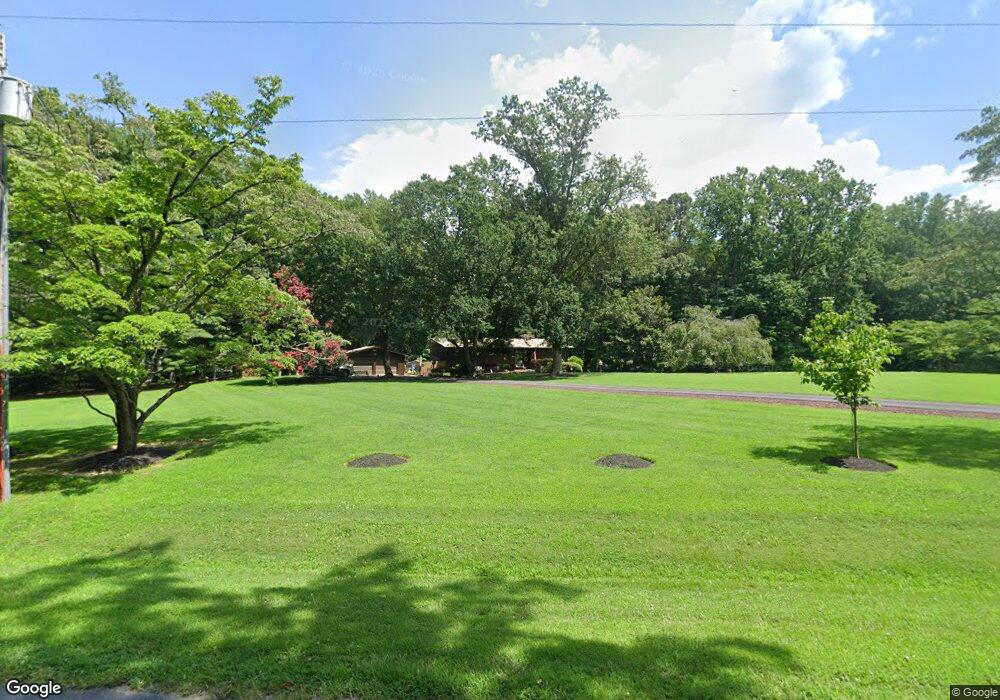
100 Earle Branch Rd Centreville, MD 21617
Estimated Value: $367,000 - $630,000
--
Bed
2
Baths
1,083
Sq Ft
$441/Sq Ft
Est. Value
About This Home
This home is located at 100 Earle Branch Rd, Centreville, MD 21617 and is currently estimated at $478,108, approximately $441 per square foot. 100 Earle Branch Rd is a home located in Queen Anne's County with nearby schools including Kennard Elementary School, Centreville Middle School, and Queen Anne's County High School.
Ownership History
Date
Name
Owned For
Owner Type
Purchase Details
Closed on
Oct 3, 2002
Sold by
Willis Donald M and Willis Linda V
Bought by
Aaron Raymond C and T/E Laura A Aaron
Current Estimated Value
Purchase Details
Closed on
Jun 4, 1997
Sold by
Willis Donald M
Bought by
Willis Donald M and Willis Linda V
Purchase Details
Closed on
May 28, 1985
Sold by
Morris Faye N
Bought by
Willis Donald M and Willis Linda
Home Financials for this Owner
Home Financials are based on the most recent Mortgage that was taken out on this home.
Original Mortgage
$102,000
Interest Rate
12.83%
Create a Home Valuation Report for This Property
The Home Valuation Report is an in-depth analysis detailing your home's value as well as a comparison with similar homes in the area
Home Values in the Area
Average Home Value in this Area
Purchase History
| Date | Buyer | Sale Price | Title Company |
|---|---|---|---|
| Aaron Raymond C | -- | -- | |
| Willis Donald M | -- | -- | |
| Willis Donald M | $90,000 | -- |
Source: Public Records
Mortgage History
| Date | Status | Borrower | Loan Amount |
|---|---|---|---|
| Previous Owner | Willis Donald M | $102,000 |
Source: Public Records
Tax History Compared to Growth
Tax History
| Year | Tax Paid | Tax Assessment Tax Assessment Total Assessment is a certain percentage of the fair market value that is determined by local assessors to be the total taxable value of land and additions on the property. | Land | Improvement |
|---|---|---|---|---|
| 2025 | $1,070 | $392,467 | $0 | $0 |
| 2024 | $884 | $352,900 | $157,900 | $195,000 |
| 2023 | $820 | $346,033 | $0 | $0 |
| 2022 | $1,255 | $339,167 | $0 | $0 |
| 2021 | $1,747 | $332,300 | $137,900 | $194,400 |
| 2020 | $1,747 | $332,300 | $137,900 | $194,400 |
| 2019 | $1,747 | $332,300 | $137,900 | $194,400 |
| 2018 | $3,310 | $338,900 | $137,900 | $201,000 |
| 2017 | $3,232 | $330,700 | $0 | $0 |
| 2016 | -- | $322,500 | $0 | $0 |
| 2015 | $3,028 | $314,300 | $0 | $0 |
| 2014 | $3,028 | $314,300 | $0 | $0 |
Source: Public Records
Map
Nearby Homes
- 0 Brownsville Rd
- 0 N Hibernia Rd
- 411 Corsica Neck Rd
- 210 Corsica Point Ln
- 154 Mckenney Ln
- 218 Winchester Dr
- 119 Watson Rd
- 401 Dulin Clark Rd
- 217 Grove Cove Rd
- 104 Windsor Ave
- 202 Ridgeview Ct
- 109 Recovery Dr E
- 407 S Commerce St
- 112 S Commerce St
- 114 S Commerce St
- 106 Turpins Ln
- 704 Church Hill Rd
- 331 Kidwell Ave
- 125 Price St
- 114 Bristol Ln
- 108 Eagle Branch Rd
- 108 Earle Branch Rd
- 101 Earle Branch Rd
- 109 Earle Branch Rd
- 114 Earle Branch Rd
- 711 Corsica Neck Rd
- 115 Earle Branch Rd
- 719 Corsica Neck Rd
- 1040 Brownsville Rd
- 121 Earle Branch Rd
- 120 Earle Branch Rd
- 104 Fairview Dr
- 133 Earle Branch Rd
- 126 Earle Branch Rd
- 108 Fairview Dr
- 139 Earle Branch Rd
- 109 Fairview Dr
- 961 Brownsville Rd
- 200 Earle Branch Rd
- 105 Fairview Dr