100 Eleanor St Elkton, MD 21921
Estimated Value: $383,000 - $492,000
--
Bed
4
Baths
2,569
Sq Ft
$172/Sq Ft
Est. Value
About This Home
This home is located at 100 Eleanor St, Elkton, MD 21921 and is currently estimated at $441,499, approximately $171 per square foot. 100 Eleanor St is a home located in Cecil County with nearby schools including Thomson Estates Elementary School, Elkton Middle School, and Elkton High School.
Ownership History
Date
Name
Owned For
Owner Type
Purchase Details
Closed on
Jun 12, 2017
Sold by
Kuminski Leonard Adam and Kuminski Sandy
Bought by
Ho Duong and Nguyen Mai
Current Estimated Value
Purchase Details
Closed on
Nov 4, 2002
Sold by
Chastain Marjorie J
Bought by
Kuminski Leonard Adam and Kuminski Sandy
Purchase Details
Closed on
Jun 22, 1999
Sold by
Draper C Layne
Bought by
Chastain Marjorie J
Purchase Details
Closed on
Nov 4, 1996
Sold by
Draper Connie S C Layne
Bought by
Draper C Layne
Create a Home Valuation Report for This Property
The Home Valuation Report is an in-depth analysis detailing your home's value as well as a comparison with similar homes in the area
Home Values in the Area
Average Home Value in this Area
Purchase History
| Date | Buyer | Sale Price | Title Company |
|---|---|---|---|
| Ho Duong | $260,000 | Liberty Title Services Llc | |
| Kuminski Leonard Adam | $215,000 | -- | |
| Chastain Marjorie J | $180,000 | -- | |
| Draper C Layne | -- | -- |
Source: Public Records
Mortgage History
| Date | Status | Borrower | Loan Amount |
|---|---|---|---|
| Closed | Chastain Marjorie J | -- |
Source: Public Records
Tax History Compared to Growth
Tax History
| Year | Tax Paid | Tax Assessment Tax Assessment Total Assessment is a certain percentage of the fair market value that is determined by local assessors to be the total taxable value of land and additions on the property. | Land | Improvement |
|---|---|---|---|---|
| 2025 | $3,279 | $294,133 | $0 | $0 |
| 2024 | $2,560 | $260,400 | $55,200 | $205,200 |
| 2023 | $2,206 | $257,667 | $0 | $0 |
| 2022 | $2,931 | $254,933 | $0 | $0 |
| 2021 | $2,873 | $252,200 | $55,200 | $197,000 |
| 2020 | $2,919 | $247,867 | $0 | $0 |
| 2019 | $2,869 | $243,533 | $0 | $0 |
| 2018 | $2,819 | $239,200 | $75,200 | $164,000 |
| 2017 | $2,812 | $238,567 | $0 | $0 |
| 2016 | $2,677 | $237,933 | $0 | $0 |
| 2015 | $2,677 | $237,300 | $0 | $0 |
| 2014 | $2,732 | $237,300 | $0 | $0 |
Source: Public Records
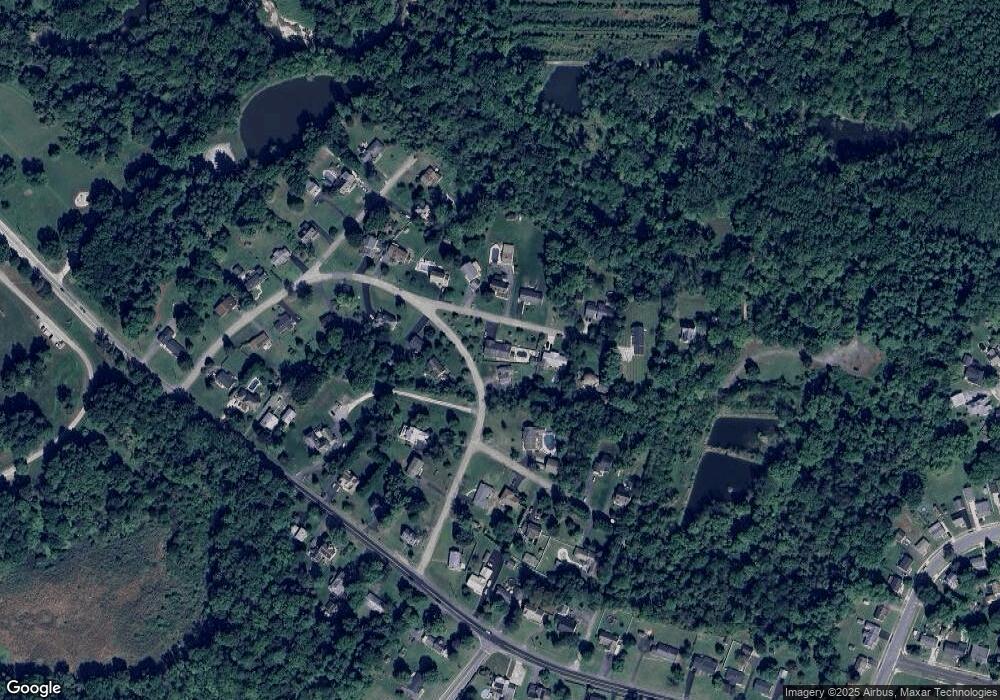
Map
Nearby Homes
- 114 Creswell Ave
- 103 State St
- 114 Saint Louis Dr
- 4 Saint Pats Cir
- 106 Normira Ave
- 110 Delaware Ave
- 0 E Pulaski Hwy
- 413 Melbourne Blvd
- 0 Delaware Ave Unit MDCC2018992
- 113 Erin Ct
- 112 Ben Blvd
- 206 Whitehall Rd
- 115 Bethel St
- 155 E Village Rd
- 413 Gray Mount Cir
- 0 W Main St Unit MDCC2016174
- 124 Michaels Way
- 113 Michaels Way
- 112 Courtney Dr
- 255 Douglas St
- 117 Creswell Ave
- 107 Eleanor St
- 105 Eleanor St
- 102 Eleanor St
- 109 Eleanor St Unit LOT 28
- 109 Eleanor St
- 103 Ross St
- 112 Creswell Ave
- 110 Eleanor St
- 103 Eleanor St
- 113 Creswell Ave
- 111 Eleanor St
- Ross St
- 110 Creswell Ave
- 138 Creswell Ave
- 111 Creswell Ave
- 115 Eleanor St
- 131 Creswell Ave
- 150 Creswell Ave
- 102 State St