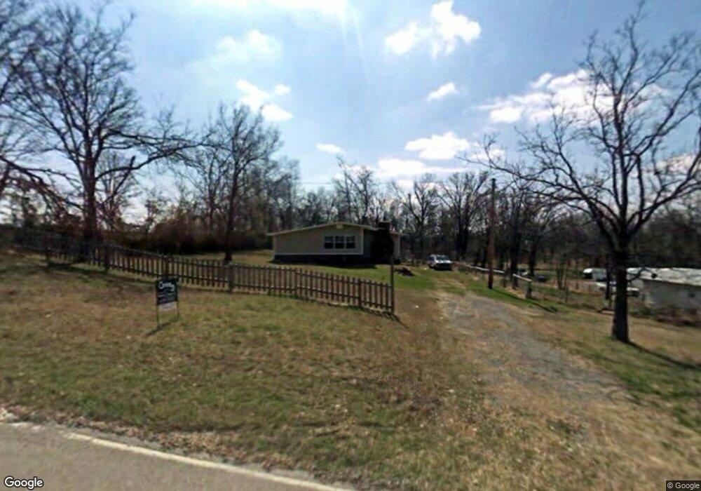
100 Ewing Locust Grove, OK 74352
Estimated Value: $168,055 - $222,000
4
Beds
1
Bath
1,608
Sq Ft
$116/Sq Ft
Est. Value
About This Home
This home is located at 100 Ewing, Locust Grove, OK 74352 and is currently estimated at $187,014, approximately $116 per square foot. 100 Ewing is a home located in Mayes County with nearby schools including Locust Grove Early Lrning Center, Locust Grove Upper Elementary School, and Locust Grove Middle School.
Ownership History
Date
Name
Owned For
Owner Type
Purchase Details
Closed on
Oct 12, 2010
Sold by
Bank Of Commerce
Bought by
Siam Shawn D and Siam Kristi L
Current Estimated Value
Home Financials for this Owner
Home Financials are based on the most recent Mortgage that was taken out on this home.
Original Mortgage
$54,296
Outstanding Balance
$35,762
Interest Rate
4.39%
Mortgage Type
Unknown
Estimated Equity
$151,252
Purchase Details
Closed on
Jan 23, 2004
Sold by
Barnes Larry and Barnes Reva
Bought by
Bartlett Nathan and Bartlett Margret
Purchase Details
Closed on
Apr 2, 2002
Sold by
Barnes Billy and Barnes Bea
Bought by
Barnes Larry Joe
Create a Home Valuation Report for This Property
The Home Valuation Report is an in-depth analysis detailing your home's value as well as a comparison with similar homes in the area
Home Values in the Area
Average Home Value in this Area
Purchase History
| Date | Buyer | Sale Price | Title Company |
|---|---|---|---|
| Siam Shawn D | $53,000 | None Available | |
| Bartlett Nathan | $48,000 | -- | |
| Barnes Larry Joe | $30,000 | -- |
Source: Public Records
Mortgage History
| Date | Status | Borrower | Loan Amount |
|---|---|---|---|
| Open | Siam Shawn D | $54,296 |
Source: Public Records
Tax History Compared to Growth
Tax History
| Year | Tax Paid | Tax Assessment Tax Assessment Total Assessment is a certain percentage of the fair market value that is determined by local assessors to be the total taxable value of land and additions on the property. | Land | Improvement |
|---|---|---|---|---|
| 2025 | $798 | $9,014 | $2,298 | $6,716 |
| 2023 | $798 | $8,176 | $2,091 | $6,085 |
| 2022 | $703 | $7,787 | $1,978 | $5,809 |
| 2021 | $683 | $7,416 | $1,939 | $5,477 |
| 2020 | $661 | $7,063 | $1,898 | $5,165 |
| 2019 | $600 | $6,407 | $1,501 | $4,906 |
| 2018 | $612 | $6,407 | $1,501 | $4,906 |
| 2017 | $612 | $6,407 | $1,501 | $4,906 |
| 2016 | $598 | $6,407 | $1,501 | $4,906 |
| 2015 | $617 | $6,406 | $1,501 | $4,905 |
| 2014 | $602 | $6,249 | $1,344 | $4,905 |
Source: Public Records
Map
Nearby Homes
- 10171 U S Highway 412
- 815 S Cherokee St
- 715 S Cherokee St
- 608 S Cherokee St
- 00 Hill St
- 301 S Water St
- 310 W Harrison
- 8604 S County Road 4468
- 0 Peach St
- 1 W Ross St
- 212 N Mayes St
- 0 Hwy 82 S Unit 2503331
- 000 Earl Smith Rd
- 415 N Broadway
- 6164 E 578
- 0 Orange St
- 57 Joe Koelsch Dr
- 207 Orange St
- 6959 E 561 Rd
- 2940 E 560 Rd