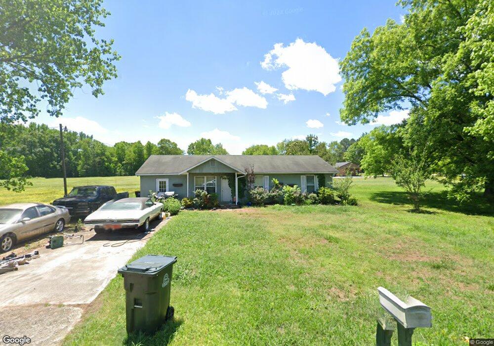
100 Fishhook Rd Athens, AL 35611
Estimated Value: $164,000 - $223,000
--
Bed
--
Bath
1,484
Sq Ft
$127/Sq Ft
Est. Value
About This Home
This home is located at 100 Fishhook Rd, Athens, AL 35611 and is currently estimated at $188,161, approximately $126 per square foot. 100 Fishhook Rd is a home with nearby schools including Julian Newman Elementary School, Athens Intermediate School, and Athens Middle School.
Ownership History
Date
Name
Owned For
Owner Type
Purchase Details
Closed on
Nov 24, 2020
Sold by
Luyk Rick and Luyk Debra S
Bought by
Karigan Daniel Patrick
Current Estimated Value
Home Financials for this Owner
Home Financials are based on the most recent Mortgage that was taken out on this home.
Original Mortgage
$109,375
Outstanding Balance
$97,550
Interest Rate
2.8%
Mortgage Type
New Conventional
Estimated Equity
$90,611
Purchase Details
Closed on
Feb 5, 2015
Sold by
Reeves Paul D
Bought by
Luyk Rick and Luyk Debra S
Purchase Details
Closed on
Jun 10, 2013
Sold by
Phipps Howard and Phipps Sheneque Freeman
Bought by
Reeves Paul D
Create a Home Valuation Report for This Property
The Home Valuation Report is an in-depth analysis detailing your home's value as well as a comparison with similar homes in the area
Home Values in the Area
Average Home Value in this Area
Purchase History
| Date | Buyer | Sale Price | Title Company |
|---|---|---|---|
| Karigan Daniel Patrick | $110,000 | None Available | |
| Luyk Rick | $30,000 | -- | |
| Reeves Paul D | $53,802 | -- |
Source: Public Records
Mortgage History
| Date | Status | Borrower | Loan Amount |
|---|---|---|---|
| Open | Karigan Daniel Patrick | $109,375 |
Source: Public Records
Tax History Compared to Growth
Tax History
| Year | Tax Paid | Tax Assessment Tax Assessment Total Assessment is a certain percentage of the fair market value that is determined by local assessors to be the total taxable value of land and additions on the property. | Land | Improvement |
|---|---|---|---|---|
| 2024 | $1,027 | $25,680 | $0 | $0 |
| 2023 | $1,027 | $23,660 | $0 | $0 |
| 2022 | $762 | $19,060 | $0 | $0 |
| 2021 | $602 | $15,040 | $0 | $0 |
| 2020 | $585 | $14,620 | $0 | $0 |
| 2019 | $583 | $14,580 | $0 | $0 |
| 2018 | $468 | $11,700 | $0 | $0 |
| 2017 | $468 | $11,700 | $0 | $0 |
| 2016 | $468 | $58,500 | $0 | $0 |
| 2015 | $468 | $11,700 | $0 | $0 |
| 2014 | $459 | $0 | $0 | $0 |
Source: Public Records
Map
Nearby Homes
- 1925 Cain Dr Unit 280
- 8336 Us Highway 72 W
- Lot 1 Browns Ferry St
- 1506 S Houston St
- 1502 S Houston St
- 1505 Nella Dr
- 1509 Nella Dr
- Lot 17 Acorn Hill Cir
- 1817 Hine St S
- 325 Hine St S
- 1112 Hine St S
- 28.35 Hine St S
- 1308 S Madison St
- 203 Gordon Dr
- 107 Virginia Dr
- 15503 Lapwing Cove
- 1305 S Madison St
- 1501 Reynard St
- 15500 Lapwing Cove
- 1504 Pinedale St