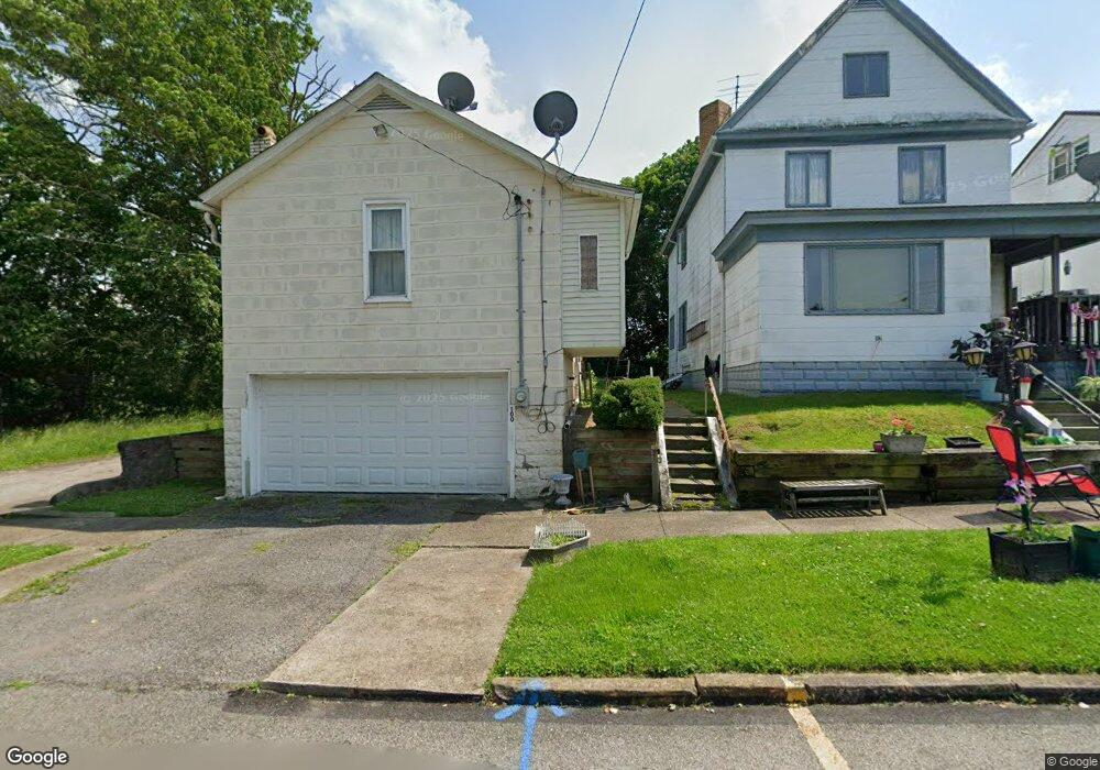
100 Franklin Ave Vandergrift, PA 15690
Estimated Value: $37,000 - $89,000
--
Bed
--
Bath
--
Sq Ft
2,744
Sq Ft Lot
About This Home
This home is located at 100 Franklin Ave, Vandergrift, PA 15690 and is currently estimated at $66,514. 100 Franklin Ave is a home located in Westmoreland County with nearby schools including Kiski Area High School.
Ownership History
Date
Name
Owned For
Owner Type
Purchase Details
Closed on
Oct 5, 2012
Sold by
Duceour Donna
Bought by
Sabot Walter W and Sabot Diana L
Current Estimated Value
Purchase Details
Closed on
Jan 31, 2005
Sold by
Hofscher Robert A and Hofscher Corrine L
Bought by
Hofscher Robert A
Create a Home Valuation Report for This Property
The Home Valuation Report is an in-depth analysis detailing your home's value as well as a comparison with similar homes in the area
Home Values in the Area
Average Home Value in this Area
Purchase History
| Date | Buyer | Sale Price | Title Company |
|---|---|---|---|
| Sabot Walter W | $24,000 | None Available | |
| Hofscher Robert A | -- | -- |
Source: Public Records
Tax History Compared to Growth
Tax History
| Year | Tax Paid | Tax Assessment Tax Assessment Total Assessment is a certain percentage of the fair market value that is determined by local assessors to be the total taxable value of land and additions on the property. | Land | Improvement |
|---|---|---|---|---|
| 2025 | $600 | $3,680 | $1,010 | $2,670 |
| 2024 | $572 | $3,680 | $1,010 | $2,670 |
| 2023 | $526 | $3,680 | $1,010 | $2,670 |
| 2022 | $516 | $3,680 | $1,010 | $2,670 |
| 2021 | $516 | $3,680 | $1,010 | $2,670 |
| 2020 | $514 | $3,680 | $1,010 | $2,670 |
| 2019 | $512 | $3,680 | $1,010 | $2,670 |
| 2018 | $505 | $3,680 | $1,010 | $2,670 |
| 2017 | $494 | $3,680 | $1,010 | $2,670 |
| 2016 | $487 | $3,680 | $1,010 | $2,670 |
| 2015 | $487 | $3,680 | $1,010 | $2,670 |
| 2014 | $485 | $3,680 | $1,010 | $2,670 |
Source: Public Records
Map
Nearby Homes
- 129 Franklin Ave
- 121 Hamilton Ave
- 219 Quay St
- 1116 Grant St
- 154 Jefferson Ave Unit 6
- 112 Farragut Ave Unit 3
- 137 Sherman Ave
- 133 Sherman Ave
- 325 -1/2 Quay St
- 107 Sumner Ave
- 419 Vandergrift Ln
- 1805 Moore Ave
- 1252 Jefferson St
- 2106 River Rd
- 404 1/2 Franklin Ave
- 608 Kennedy Ave
- 716 Kennedy Ave
- 1212 Gravel Bar Rd
- 712 16th St
- 311 Elm St
- 102 Franklin Ave
- 108 Franklin Ave
- 106 Franklin Ave
- 110 Franklin Ave
- 101 Franklin Ave
- 303 Sherman Ave
- 112 Franklin Ave
- 114 Franklin Ave
- 299 Sherman Ave
- 116 Franklin Ave
- 297 Sherman Ave
- 118 Franklin Ave
- 111 Franklin Ave
- 295 Sherman Ave
- 120 Franklin Ave
- 115 Franklin Ave
- 113 Franklin Ave
- 288 Sherman Ave
- 115 Franklin Ave
- 122 Franklin Ave