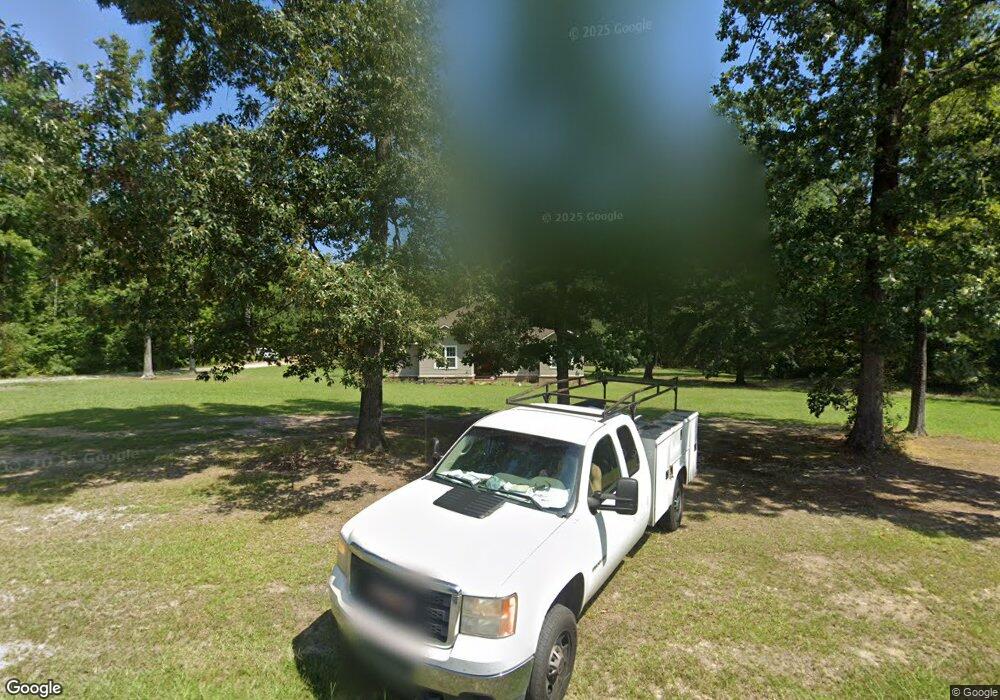
100 Grant 736 Sheridan, AR 72150
Estimated Value: $195,000 - $252,000
--
Bed
--
Bath
1,428
Sq Ft
$150/Sq Ft
Est. Value
About This Home
This home is located at 100 Grant 736, Sheridan, AR 72150 and is currently estimated at $213,652, approximately $149 per square foot. 100 Grant 736 is a home with nearby schools including Sheridan High School.
Ownership History
Date
Name
Owned For
Owner Type
Purchase Details
Closed on
Jan 15, 2021
Sold by
Holloway William B and Holloway Bridgett
Bought by
Lackey Eric Wayne
Current Estimated Value
Home Financials for this Owner
Home Financials are based on the most recent Mortgage that was taken out on this home.
Original Mortgage
$142,864
Outstanding Balance
$127,507
Interest Rate
2.71%
Mortgage Type
FHA
Estimated Equity
$86,145
Purchase Details
Closed on
Mar 11, 2006
Sold by
Green Wade
Bought by
Holloway William B and Holloway Bridget
Home Financials for this Owner
Home Financials are based on the most recent Mortgage that was taken out on this home.
Original Mortgage
$45,845
Interest Rate
6.24%
Mortgage Type
New Conventional
Purchase Details
Closed on
Jan 27, 2004
Bought by
Amended Restrictions
Purchase Details
Closed on
Apr 1, 1990
Bought by
Simpson
Create a Home Valuation Report for This Property
The Home Valuation Report is an in-depth analysis detailing your home's value as well as a comparison with similar homes in the area
Home Values in the Area
Average Home Value in this Area
Purchase History
| Date | Buyer | Sale Price | Title Company |
|---|---|---|---|
| Lackey Eric Wayne | $145,500 | Professional Land Ttl Co Of | |
| Holloway William B | $45,000 | Stewart Title Of Arkansas | |
| Amended Restrictions | -- | -- | |
| Cotton | $13,000 | -- | |
| Simpson | -- | -- |
Source: Public Records
Mortgage History
| Date | Status | Borrower | Loan Amount |
|---|---|---|---|
| Open | Lackey Eric Wayne | $142,864 | |
| Previous Owner | Holloway William B | $45,845 |
Source: Public Records
Tax History Compared to Growth
Tax History
| Year | Tax Paid | Tax Assessment Tax Assessment Total Assessment is a certain percentage of the fair market value that is determined by local assessors to be the total taxable value of land and additions on the property. | Land | Improvement |
|---|---|---|---|---|
| 2024 | $1,241 | $27,570 | $4,290 | $23,280 |
| 2023 | $1,241 | $27,570 | $4,290 | $23,280 |
| 2022 | $1,241 | $27,570 | $4,290 | $23,280 |
| 2021 | $1,241 | $27,570 | $4,290 | $23,280 |
| 2020 | $1,135 | $25,220 | $4,520 | $20,700 |
| 2019 | $1,135 | $25,220 | $4,520 | $20,700 |
| 2018 | $1,135 | $25,220 | $4,520 | $20,700 |
| 2017 | $1,135 | $25,220 | $4,520 | $20,700 |
| 2015 | -- | $24,240 | $4,520 | $19,720 |
| 2014 | -- | $24,240 | $4,520 | $19,720 |
| 2012 | -- | $24,240 | $4,520 | $19,720 |
Source: Public Records
Map
Nearby Homes
- 766 Grant 735
- Lot 1 Grant County Road 762
- lot 16 Grant County Road 761
- lot 23 Grant County Road 763
- lot 27 Grant County Road 763
- 110 Grant 7488
- 131 Grant 7488
- 000 Grant 75 Grant 75
- 7894 Highway 46 N
- 9931 Grant 75
- 9561 U S 270
- 1228 Keg Mill Rd
- 9693 Highway 270 E
- 00 Grant 834
- 822 Arkansas 46
- 97 County Road 763
- 10847 U S 270
- 438 Oak Tree Ridge S
- 0 Highway 46 N
- 130 N 1st St
- 73 Grant 736
- 1937 Grant 73
- 1937 Grant 73
- 2035 Grant 73
- Tract 3 Oak Grove Cir
- Tract 2 Oak Grove Cir
- 2024 Grant 73
- 35 Grant 737
- 1849 Grant 73
- 151 Grant 736
- 1908 Grant 73
- Tract 1 & 3 Oak Grove Rd
- Tract 1 & 3 Oak Grove Rd Unit 130Grant
- 1793 Grant 73
- 160 Grant 737
- 1 Grant 735
- 0 Grant 735
- 1759 Grant 73
- 2258 Grant 73 Unit 2292
- 61 Grant 735
