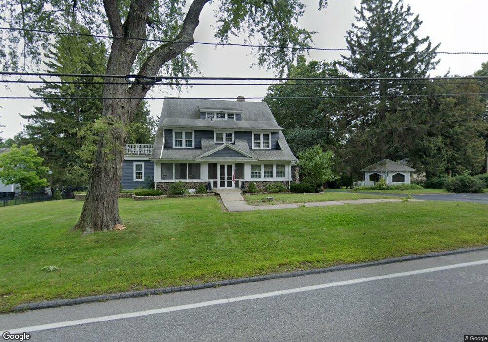
100 Highland St Holden, MA 01520
Estimated Value: $682,000 - $840,658
6
Beds
4
Baths
3,317
Sq Ft
$231/Sq Ft
Est. Value
About This Home
This home is located at 100 Highland St, Holden, MA 01520 and is currently estimated at $767,165, approximately $231 per square foot. 100 Highland St is a home located in Worcester County with nearby schools including Wachusett Regional High School, Holden Christian Academy, and Bancroft School.
Ownership History
Date
Name
Owned For
Owner Type
Purchase Details
Closed on
Mar 16, 2022
Sold by
Moran Robert B and Moran Cynthia M
Bought by
Dean William A and Castell Kelly E
Current Estimated Value
Purchase Details
Closed on
Oct 10, 1991
Sold by
Vanaken John C and Vanaken Jane R
Bought by
Moran Robert B and Moran Cynthia
Purchase Details
Closed on
Apr 4, 1991
Sold by
Vanaken John C and Vanaken Jane R
Bought by
Moran Robert B and Moran Cynthia M
Create a Home Valuation Report for This Property
The Home Valuation Report is an in-depth analysis detailing your home's value as well as a comparison with similar homes in the area
Home Values in the Area
Average Home Value in this Area
Purchase History
| Date | Buyer | Sale Price | Title Company |
|---|---|---|---|
| Dean William A | -- | None Available | |
| Moran Robert B | $190,000 | -- | |
| Moran Robert B | $190,000 | -- |
Source: Public Records
Mortgage History
| Date | Status | Borrower | Loan Amount |
|---|---|---|---|
| Previous Owner | Moran Robert B | $385,784 | |
| Previous Owner | Moran Robert B | $383,394 |
Source: Public Records
Tax History Compared to Growth
Tax History
| Year | Tax Paid | Tax Assessment Tax Assessment Total Assessment is a certain percentage of the fair market value that is determined by local assessors to be the total taxable value of land and additions on the property. | Land | Improvement |
|---|---|---|---|---|
| 2025 | $9,365 | $675,700 | $200,200 | $475,500 |
| 2024 | $9,708 | $686,100 | $194,400 | $491,700 |
| 2023 | $9,904 | $660,700 | $169,000 | $491,700 |
| 2022 | $9,840 | $594,200 | $132,000 | $462,200 |
| 2021 | $9,090 | $522,400 | $125,800 | $396,600 |
| 2020 | $8,726 | $513,300 | $120,000 | $393,300 |
| 2019 | $3,820 | $470,700 | $120,000 | $350,700 |
| 2018 | $6,114 | $444,800 | $114,300 | $330,500 |
| 2017 | $7,326 | $416,500 | $114,300 | $302,200 |
| 2016 | $7,093 | $411,200 | $109,000 | $302,200 |
| 2015 | $7,206 | $397,700 | $109,000 | $288,700 |
| 2014 | $7,059 | $397,700 | $109,000 | $288,700 |
Source: Public Records
Map
Nearby Homes
- 48 Phillips Rd Unit 14
- 76 Flagler Dr
- 16 Highland Ave
- 29 Appletree Ln
- 56 Highland Ave
- 119 Winthrop Ln
- 9 Short St
- 141 Lovell Rd
- 28 Meadow Wood Dr
- 39 Sunnyside Ave
- 26 Avery Heights Dr
- 31 Crestview Dr
- 218 Reservoir St Unit 106
- 100 Avery Heights Dr
- 64 Britney Dr
- 9 Holmes Dr
- 7 Holmes Dr
- 8 (Lot 1) Holmes Dr
- 382 Malden St
- 687 Bullard St
- 110 Highland St
- 35 Orchard Rd
- 118 Highland St
- 97 Highland St
- 19 Orchard Rd
- 105 Highland St
- 32 Orchard Rd
- 122 Highland St
- 78 Highland St
- 85 Highland St
- 28 Orchard Rd
- 115 Highland St
- 42 Phillips Rd Unit 10
- 42 Phillips Rd Unit 9
- 42 Phillips Rd Unit 8
- 42 Phillips Rd Unit 7
- 42 Phillips Rd Unit 6
- 42 Phillips Rd Unit 4
- 42 Phillips Rd Unit 3
- 42 Phillips Rd Unit 2