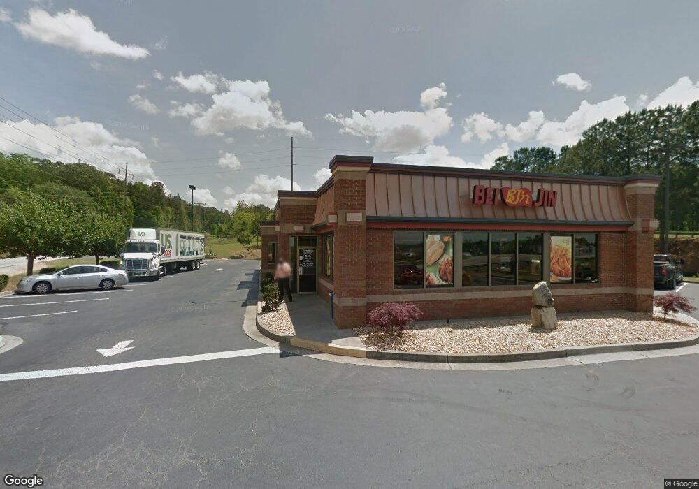
100 Interstate West Pkwy Lithia Springs, GA 30122
Estimated Value: $1,116,381
--
Bed
--
Bath
3,243
Sq Ft
$344/Sq Ft
Est. Value
About This Home
This home is located at 100 Interstate West Pkwy, Lithia Springs, GA 30122 and is currently estimated at $1,116,381, approximately $344 per square foot. 100 Interstate West Pkwy is a home located in Douglas County with nearby schools including New Manchester Elementary School, Factory Shoals Middle School, and New Manchester High School.
Ownership History
Date
Name
Owned For
Owner Type
Purchase Details
Closed on
Jul 26, 2013
Sold by
Feld Daniel
Bought by
Rong Wang Inc
Current Estimated Value
Home Financials for this Owner
Home Financials are based on the most recent Mortgage that was taken out on this home.
Original Mortgage
$165,000
Outstanding Balance
$122,900
Interest Rate
4.43%
Mortgage Type
Commercial
Estimated Equity
$993,481
Purchase Details
Closed on
Nov 21, 2006
Sold by
Rai Restaurants Inc
Bought by
Feld Daniel and Chalem Moche
Purchase Details
Closed on
Mar 31, 2006
Sold by
Wendthornton Realty Llc
Bought by
Rai Restaurants Inc
Create a Home Valuation Report for This Property
The Home Valuation Report is an in-depth analysis detailing your home's value as well as a comparison with similar homes in the area
Home Values in the Area
Average Home Value in this Area
Purchase History
| Date | Buyer | Sale Price | Title Company |
|---|---|---|---|
| Rong Wang Inc | $325,000 | -- | |
| Feld Daniel | $920,000 | -- | |
| Rai Restaurants Inc | $806,100 | -- |
Source: Public Records
Mortgage History
| Date | Status | Borrower | Loan Amount |
|---|---|---|---|
| Open | Rong Wang Inc | $165,000 |
Source: Public Records
Tax History Compared to Growth
Tax History
| Year | Tax Paid | Tax Assessment Tax Assessment Total Assessment is a certain percentage of the fair market value that is determined by local assessors to be the total taxable value of land and additions on the property. | Land | Improvement |
|---|---|---|---|---|
| 2024 | $10,741 | $341,400 | $144,680 | $196,720 |
| 2023 | $10,858 | $341,400 | $144,680 | $196,720 |
| 2022 | $10,799 | $249,520 | $139,080 | $110,440 |
| 2021 | $8,404 | $257,680 | $139,080 | $118,600 |
| 2020 | $8,545 | $257,680 | $139,080 | $118,600 |
| 2019 | $7,872 | $254,240 | $139,080 | $115,160 |
| 2018 | $7,728 | $248,400 | $139,080 | $109,320 |
Source: Public Records
Map
Nearby Homes
- 00 Six Flags Rd
- 7147 Walton Reserve Ln
- 1311 Park Center Cir
- 1182 Park Center Cir
- 1682 Walton Reserve Blvd
- 1186 Park Center Cir
- 7254 Silverton Trail
- 1657 Bradmere Ln
- 1163 Park Center Cir
- 1203 Park Center Cir
- 1199 Park Center Cir
- 7621 Forest Glen Way Unit 2
- 1195 Park Center Cir
- 1736 Walton Reserve Way
- 1211 Ling Way
- 1243 Blairs Pointe Dr Unit 3
- 1395 Ling Dr Unit 2
- 6810 Panda Dr Unit B
- 6854 Panda Ct Unit A
- 6811 Panda Dr Unit A