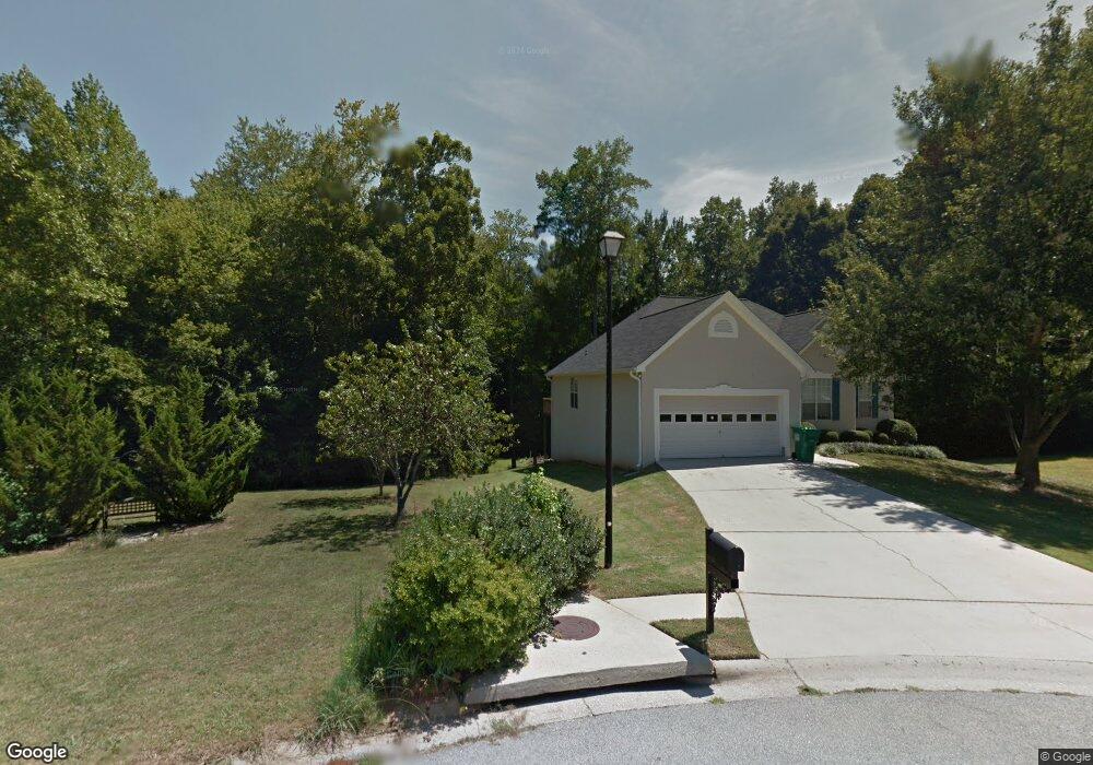
100 Kent Dr Fayetteville, GA 30214
Estimated Value: $315,000 - $359,000
--
Bed
2
Baths
1,459
Sq Ft
$230/Sq Ft
Est. Value
About This Home
This home is located at 100 Kent Dr, Fayetteville, GA 30214 and is currently estimated at $335,771, approximately $230 per square foot. 100 Kent Dr is a home located in Fayette County with nearby schools including Spring Hill Elementary School, Bennett's Mill Middle School, and Fayette County High School.
Ownership History
Date
Name
Owned For
Owner Type
Purchase Details
Closed on
May 9, 1997
Sold by
Beta Constr Inc
Bought by
Gaither William F and Gaithei Monique M
Current Estimated Value
Home Financials for this Owner
Home Financials are based on the most recent Mortgage that was taken out on this home.
Original Mortgage
$125,000
Outstanding Balance
$17,091
Interest Rate
7.98%
Mortgage Type
New Conventional
Estimated Equity
$318,680
Purchase Details
Closed on
Oct 10, 1996
Sold by
Hutto Jan
Bought by
Beta Constr
Create a Home Valuation Report for This Property
The Home Valuation Report is an in-depth analysis detailing your home's value as well as a comparison with similar homes in the area
Home Values in the Area
Average Home Value in this Area
Purchase History
| Date | Buyer | Sale Price | Title Company |
|---|---|---|---|
| Gaither William F | $138,900 | -- | |
| Beta Constr | $19,500 | -- |
Source: Public Records
Mortgage History
| Date | Status | Borrower | Loan Amount |
|---|---|---|---|
| Open | Gaither William F | $125,000 | |
| Closed | Beta Constr | $0 |
Source: Public Records
Tax History Compared to Growth
Tax History
| Year | Tax Paid | Tax Assessment Tax Assessment Total Assessment is a certain percentage of the fair market value that is determined by local assessors to be the total taxable value of land and additions on the property. | Land | Improvement |
|---|---|---|---|---|
| 2024 | $2,934 | $134,120 | $18,000 | $116,120 |
| 2023 | $2,270 | $115,360 | $18,000 | $97,360 |
| 2022 | $2,687 | $110,320 | $18,000 | $92,320 |
| 2021 | $2,502 | $94,800 | $18,000 | $76,800 |
| 2020 | $2,528 | $83,800 | $12,000 | $71,800 |
| 2019 | $2,464 | $80,960 | $12,000 | $68,960 |
| 2018 | $2,391 | $77,800 | $9,600 | $68,200 |
| 2017 | $2,103 | $72,520 | $9,600 | $62,920 |
| 2016 | $1,750 | $59,480 | $9,600 | $49,880 |
| 2015 | $1,642 | $55,000 | $9,600 | $45,400 |
| 2014 | $1,521 | $50,240 | $9,600 | $40,640 |
| 2013 | -- | $50,240 | $0 | $0 |
Source: Public Records
Map
Nearby Homes
- 225 Buckeye Ln Unit 2
- 120 Woodland Rd
- 210 Rosewood Dr
- 250 Mimosa Dr
- 125 Woodland Rd Unit LOT 2
- 125 Woodland Rd Unit LOT 1
- 145 Holly Hill Rd
- 265 Allenwood Rd
- 855 E Lanier Ave
- 1115 Highway 54 E
- 1119 Highway 54 E
- 1202 Highway 54 E
- 500 Circle Dr
- 595 E Lanier Ave
- 225 Banks Rd
- 145 Devilla Trace Unit 3
- 250 Jeff Davis Place
- 185 Central Ave
- 250 Devilla Trace
- 310 Autumn Glen Cir
- 110 Kent Dr
- 120 Kent Dr
- 115 Kent Dr
- 125 Kent Dr
- 130 Cannon Ct Unit 58
- 130 Cannon Ct
- 130 Kent Dr
- 375 Weatherly Dr
- 375 Weatherly Dr
- 135 Kent Dr
- 125 Cannon Ct
- 120 Cannon Ct
- 365 Weatherly Dr
- 0 Kent Dr Unit 7378220
- 0 Kent Dr Unit 8186194
- 0 Kent Dr Unit 7075059
- 0 Kent Dr Unit 7065222
- 0 Kent Dr Unit 9063748
- 0 Kent Dr Unit 8083361
- 0 Kent Dr Unit 3199046