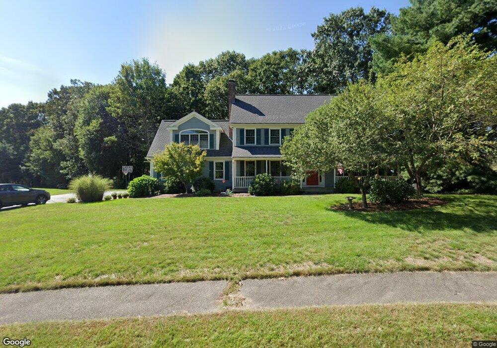
100 Laurie Ln Wrentham, MA 02093
Estimated Value: $942,793 - $1,042,000
4
Beds
3
Baths
3,350
Sq Ft
$296/Sq Ft
Est. Value
About This Home
This home is located at 100 Laurie Ln, Wrentham, MA 02093 and is currently estimated at $991,448, approximately $295 per square foot. 100 Laurie Ln is a home located in Norfolk County with nearby schools including Delaney Elementary School and Charles E Roderick.
Ownership History
Date
Name
Owned For
Owner Type
Purchase Details
Closed on
Jun 20, 2007
Sold by
Mahoney Jill R
Bought by
Mckenna Brian and Mckenna Diane
Current Estimated Value
Home Financials for this Owner
Home Financials are based on the most recent Mortgage that was taken out on this home.
Original Mortgage
$417,000
Interest Rate
6.14%
Mortgage Type
Purchase Money Mortgage
Purchase Details
Closed on
Sep 30, 1994
Sold by
Puffer Josef and Puffer Lois A
Bought by
Mahoney Robert J and Mahoney Jill R
Purchase Details
Closed on
Jun 25, 1992
Sold by
New Hoover Rt
Bought by
Puffer Josef and Puffer Lois A
Create a Home Valuation Report for This Property
The Home Valuation Report is an in-depth analysis detailing your home's value as well as a comparison with similar homes in the area
Home Values in the Area
Average Home Value in this Area
Purchase History
| Date | Buyer | Sale Price | Title Company |
|---|---|---|---|
| Mckenna Brian | $577,000 | -- | |
| Mahoney Robert J | $288,000 | -- | |
| Puffer Josef | $268,215 | -- |
Source: Public Records
Mortgage History
| Date | Status | Borrower | Loan Amount |
|---|---|---|---|
| Open | Puffer Josef | $412,775 | |
| Closed | Mckenna Brian | $417,000 | |
| Closed | Mckenna Brian | $160,000 | |
| Previous Owner | Puffer Josef | $190,000 |
Source: Public Records
Tax History Compared to Growth
Tax History
| Year | Tax Paid | Tax Assessment Tax Assessment Total Assessment is a certain percentage of the fair market value that is determined by local assessors to be the total taxable value of land and additions on the property. | Land | Improvement |
|---|---|---|---|---|
| 2025 | $9,573 | $826,000 | $325,900 | $500,100 |
| 2024 | $9,148 | $762,300 | $325,900 | $436,400 |
| 2023 | $8,951 | $709,300 | $296,200 | $413,100 |
| 2022 | $7,874 | $576,000 | $228,000 | $348,000 |
| 2021 | $7,864 | $558,900 | $238,800 | $320,100 |
| 2020 | $7,969 | $559,200 | $215,400 | $343,800 |
| 2019 | $7,674 | $543,500 | $215,400 | $328,100 |
| 2018 | $7,653 | $537,400 | $204,900 | $332,500 |
| 2017 | $7,594 | $532,900 | $211,500 | $321,400 |
| 2016 | $7,436 | $520,700 | $205,400 | $315,300 |
| 2015 | $7,029 | $469,200 | $182,300 | $286,900 |
| 2014 | $6,961 | $454,700 | $175,300 | $279,400 |
Source: Public Records
Map
Nearby Homes
- 570 Franklin St
- 50 Reed Fulton Ave Unit Lot 61
- 131 Creek St Unit 7
- 45 Joshua Rd
- 10 Nature View Dr
- 15 Nature View Dr
- 11 Earle Stewart Ln
- Lot 3 - 14 Earle Stewart Ln
- 246 Forest Grove Ave
- Lot 1 - Blueberry 2 Car Plan at King Philip Estates
- Lot 8 - Blueberry 2 Car Plan at King Philip Estates
- Lot 5 - Hughes 2 car Plan at King Philip Estates
- Lot 6 - Blueberry 3 Car Plan at King Philip Estates
- Lot 2 - Camden 2 Car Plan at King Philip Estates
- Lot 7 - Cedar Plan at King Philip Estates
- Lot 4 - Hemingway 2 Car Plan at King Philip Estates
- Lot 3 - Blueberry 2 Car Plan at King Philip Estates
- 12 Waites Crossing Way
- 11 Elliot Mills Unit 11
- 270 Dedham St