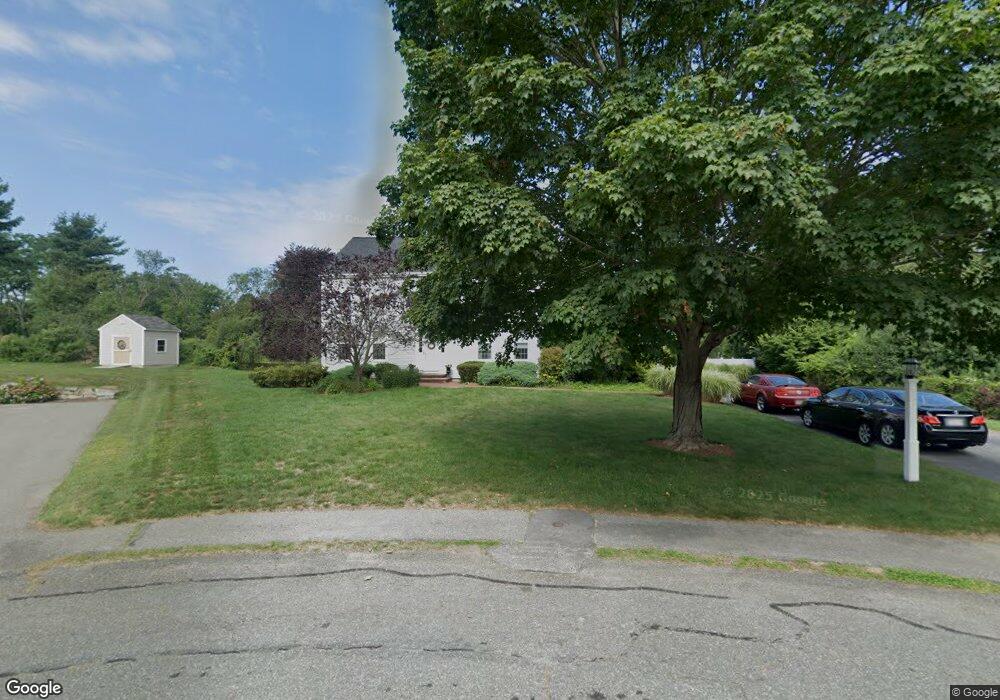
100 Lester Ln Weymouth, MA 02188
Weymouth Landing NeighborhoodEstimated Value: $890,000 - $1,137,000
4
Beds
3
Baths
2,830
Sq Ft
$353/Sq Ft
Est. Value
About This Home
This home is located at 100 Lester Ln, Weymouth, MA 02188 and is currently estimated at $999,726, approximately $353 per square foot. 100 Lester Ln is a home located in Norfolk County with nearby schools including Frederick C Murphy, Abigail Adams Middle School, and Weymouth Middle School Chapman.
Ownership History
Date
Name
Owned For
Owner Type
Purchase Details
Closed on
Mar 10, 2021
Sold by
Pennio John and Pennio Susan M
Bought by
S & J Ft
Current Estimated Value
Purchase Details
Closed on
Feb 20, 1998
Sold by
Hill Stephen C and Hill Sharon L
Bought by
Pennio John and Pennio Susan M
Create a Home Valuation Report for This Property
The Home Valuation Report is an in-depth analysis detailing your home's value as well as a comparison with similar homes in the area
Home Values in the Area
Average Home Value in this Area
Purchase History
| Date | Buyer | Sale Price | Title Company |
|---|---|---|---|
| S & J Ft | -- | None Available | |
| Pennio John | $320,000 | -- |
Source: Public Records
Mortgage History
| Date | Status | Borrower | Loan Amount |
|---|---|---|---|
| Previous Owner | Pennio John | $237,000 |
Source: Public Records
Tax History Compared to Growth
Tax History
| Year | Tax Paid | Tax Assessment Tax Assessment Total Assessment is a certain percentage of the fair market value that is determined by local assessors to be the total taxable value of land and additions on the property. | Land | Improvement |
|---|---|---|---|---|
| 2025 | $10,224 | $1,012,300 | $249,100 | $763,200 |
| 2024 | $9,905 | $964,500 | $237,300 | $727,200 |
| 2023 | $9,079 | $868,800 | $219,700 | $649,100 |
| 2022 | $8,839 | $771,300 | $203,400 | $567,900 |
| 2021 | $8,285 | $705,700 | $203,400 | $502,300 |
| 2020 | $7,971 | $668,700 | $203,400 | $465,300 |
| 2019 | $8,059 | $664,900 | $213,400 | $451,500 |
| 2018 | $7,880 | $630,400 | $211,700 | $418,700 |
| 2017 | $7,505 | $585,900 | $201,600 | $384,300 |
| 2016 | $7,483 | $584,600 | $193,900 | $390,700 |
| 2015 | $7,090 | $549,600 | $193,900 | $355,700 |
| 2014 | $6,786 | $510,200 | $180,400 | $329,800 |
Source: Public Records
Map
Nearby Homes
- 24 Blake Rd
- 54 Federal St
- 76 Kingman St
- 15 Summer St
- 33 Congress St
- 230 Lisle St
- 16 Lindbergh Ave
- 23-25 Lindbergh Ave
- 200 Justin Dr Unit 3
- 116 Belmont St
- 501 Commerce Dr Unit 2310
- 501 Commerce Dr Unit 1111
- 501 Commerce Dr Unit 4206
- 501 Commerce Dr Unit 4308
- 501 Commerce Dr Unit 4306
- 11 Richmond St
- 67 Abby Rd
- 122 Washington St Unit 22
- 114 Broad St Unit D
- 114 Broad St Unit C
- 94 Lester Ln
- 95 Lester Ln
- 82 Lester Ln
- 83 Lester Ln
- 74 Lester Ln
- 71 Lester Ln
- 66 Lone Pine Path
- 66 Lester Ln
- 60 Lone Pine Path
- 72 Lone Pine Path
- 61 Lester Ln
- 73 Lone Pine Path
- 69 Lone Pine Path
- 56 Lone Pine Path
- 58 Lester Ln
- 65 Lone Pine Path
- 59 Lone Pine Path
- 105 Norma Ave
- 50 Lone Pine Path
- 21 Briarwood Trail