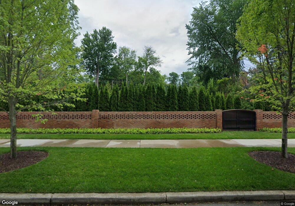
100 Lewiston Rd Grosse Pointe Farms, MI 48236
Estimated Value: $1,526,000 - $1,562,736
6
Beds
6
Baths
4,653
Sq Ft
$331/Sq Ft
Est. Value
About This Home
This home is located at 100 Lewiston Rd, Grosse Pointe Farms, MI 48236 and is currently estimated at $1,541,245, approximately $331 per square foot. 100 Lewiston Rd is a home located in Wayne County with nearby schools including Richard Elementary School, Brownell Middle School, and Grosse Pointe South High School.
Ownership History
Date
Name
Owned For
Owner Type
Purchase Details
Closed on
Sep 15, 2020
Sold by
Scarfone William and Scarfone Kris
Bought by
Valade Mark and Valade Molly
Current Estimated Value
Purchase Details
Closed on
Apr 9, 2018
Sold by
Kendrick Robin and Kendrick Kimberly A
Bought by
Scarfone William
Purchase Details
Closed on
Dec 18, 2007
Sold by
Correia Irene
Bought by
Kendrick Robin
Create a Home Valuation Report for This Property
The Home Valuation Report is an in-depth analysis detailing your home's value as well as a comparison with similar homes in the area
Home Values in the Area
Average Home Value in this Area
Purchase History
| Date | Buyer | Sale Price | Title Company |
|---|---|---|---|
| Valade Mark | $1,800,000 | Ata National Title Group Llc | |
| Scarfone William | -- | Chirco Title Agency Inc | |
| Kendrick Robin | -- | Greco |
Source: Public Records
Tax History Compared to Growth
Tax History
| Year | Tax Paid | Tax Assessment Tax Assessment Total Assessment is a certain percentage of the fair market value that is determined by local assessors to be the total taxable value of land and additions on the property. | Land | Improvement |
|---|---|---|---|---|
| 2025 | $15,832 | $665,100 | $0 | $0 |
| 2024 | $15,832 | $625,500 | $0 | $0 |
| 2023 | $14,504 | $601,300 | $0 | $0 |
| 2022 | $14,504 | $544,900 | $0 | $0 |
| 2021 | $34,889 | $531,200 | $0 | $0 |
| 2019 | $25,878 | $504,800 | $0 | $0 |
| 2018 | $10,828 | $462,800 | $0 | $0 |
| 2017 | $18,788 | $452,400 | $0 | $0 |
| 2016 | $19,694 | $426,100 | $0 | $0 |
| 2015 | $39,009 | $424,100 | $0 | $0 |
| 2013 | $37,790 | $377,900 | $0 | $0 |
| 2012 | $9,854 | $370,500 | $74,300 | $296,200 |
Source: Public Records
Map
Nearby Homes
- 65 Mapleton Rd
- 159 Grosse Pointe Blvd
- 93 Merriweather Rd
- 130 Merriweather Rd
- 216 Ridge Rd
- 201 Mcmillan Rd
- 76 Grosse Pointe Blvd
- 194 Charlevoix Ave
- 180 Fisher Rd
- 240 Mckinley Ave
- 105 Lake Shore Rd
- 189 Cloverly Rd
- 259 Mount Vernon Ave
- 69 Touraine Rd
- 273 Moran Rd
- 276 Lewiston Rd
- 204 Cloverly Rd
- 257 Ridge Rd
- 683 Lincoln Rd
- 355 Lincoln Rd
- 96 Lewiston Rd
- 114 Lewiston Rd
- 93 Kenwood Rd
- 101 Lewiston Rd
- 87 Kenwood Rd
- 88 Lewiston Rd
- 107 Lewiston Rd
- 109 Kenwood Rd
- 87 Lewiston Rd
- 115 Lewiston Rd
- 104 Mapleton Rd
- 100 Mapleton Rd
- 108 Mapleton Rd
- 80 Lewiston Rd
- 98 Mapleton Rd
- 112 Mapleton Rd
- 96 Mapleton Rd
- 81 Lewiston Rd
- 114 Mapleton Rd
- 121 Lewiston Rd