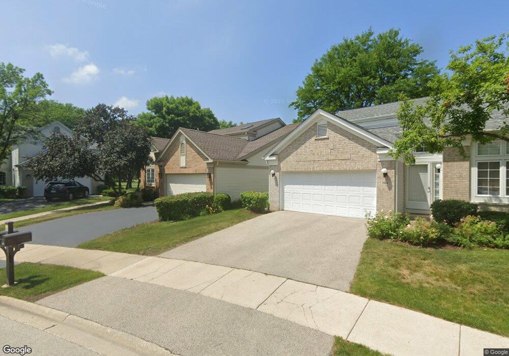
100 Manchester Dr Buffalo Grove, IL 60089
Estimated Value: $535,177 - $580,000
--
Bed
3
Baths
2,123
Sq Ft
$265/Sq Ft
Est. Value
About This Home
This home is located at 100 Manchester Dr, Buffalo Grove, IL 60089 and is currently estimated at $562,544, approximately $264 per square foot. 100 Manchester Dr is a home located in Lake County with nearby schools including Ivy Hall Elementary School, Twin Groves Middle School, and Adlai E Stevenson High School.
Ownership History
Date
Name
Owned For
Owner Type
Purchase Details
Closed on
Sep 11, 2009
Sold by
Yaeger Pamela S
Bought by
Wayne Hummer Trust Company Na and Trust #Sbl 3044
Current Estimated Value
Purchase Details
Closed on
Jul 6, 1995
Sold by
Cole Taylor Bank
Bought by
Yaeger Pamela S
Home Financials for this Owner
Home Financials are based on the most recent Mortgage that was taken out on this home.
Original Mortgage
$110,000
Interest Rate
7.79%
Create a Home Valuation Report for This Property
The Home Valuation Report is an in-depth analysis detailing your home's value as well as a comparison with similar homes in the area
Home Values in the Area
Average Home Value in this Area
Purchase History
| Date | Buyer | Sale Price | Title Company |
|---|---|---|---|
| Wayne Hummer Trust Company Na | -- | None Available | |
| Yaeger Pamela S | $248,500 | Chicago Title Insurance Co |
Source: Public Records
Mortgage History
| Date | Status | Borrower | Loan Amount |
|---|---|---|---|
| Previous Owner | Yaeger Pamela S | $110,000 |
Source: Public Records
Tax History Compared to Growth
Tax History
| Year | Tax Paid | Tax Assessment Tax Assessment Total Assessment is a certain percentage of the fair market value that is determined by local assessors to be the total taxable value of land and additions on the property. | Land | Improvement |
|---|---|---|---|---|
| 2024 | $12,264 | $143,670 | $38,245 | $105,425 |
| 2023 | $12,524 | $135,563 | $36,087 | $99,476 |
| 2022 | $12,524 | $131,104 | $34,900 | $96,204 |
| 2021 | $12,043 | $129,691 | $34,524 | $95,167 |
| 2020 | $11,761 | $130,134 | $34,642 | $95,492 |
| 2019 | $12,087 | $129,654 | $34,514 | $95,140 |
| 2018 | $10,617 | $118,092 | $37,515 | $80,577 |
| 2017 | $10,415 | $115,335 | $36,639 | $78,696 |
| 2016 | $10,141 | $110,443 | $35,085 | $75,358 |
| 2015 | $9,868 | $103,285 | $32,811 | $70,474 |
| 2014 | $9,365 | $96,991 | $35,239 | $61,752 |
| 2012 | $9,076 | $97,186 | $35,310 | $61,876 |
Source: Public Records
Map
Nearby Homes
- 232 Manor Dr Unit 12C
- 412 Chateau Dr
- 25 Crestview Terrace
- 728 Old Checker Rd Unit C4
- 746 Old Checker Rd Unit E5
- 36 Crestview Terrace
- 610 Maple Dr
- 630 Woodhollow Ln
- 690 Dunhill Dr
- 496 Raupp Blvd
- 1112 Auburn Ln
- 220 Osage Ln
- 620 Twisted Oak Ln
- 760 Checker Dr
- 810 Silver Rock Ln
- 20665 N Weiland Rd
- 10 Old Oak Dr Unit 103
- 938 Hidden Lake Dr
- 612 White Pine Rd
- 588 Fairway View Dr Unit 2E
- 102 Manchester Dr
- 98 Manchester Dr
- 104 Manchester Dr
- 96 Manchester Dr
- 101 Manchester Dr
- 94 Manchester Dr
- 106 Manchester Dr
- 99 Manchester Dr
- 103 Manchester Dr
- 140 Manchester Dr Unit 310
- 140 Manchester Dr Unit 405
- 140 Manchester Dr Unit 301
- 140 Manchester Dr Unit 4414
- 140 Manchester Dr Unit 4412
- 140 Manchester Dr Unit 4411
- 140 Manchester Dr Unit 4410
- 140 Manchester Dr Unit 4409
- 140 Manchester Dr Unit 4408
- 140 Manchester Dr Unit 4407
- 140 Manchester Dr Unit 4406