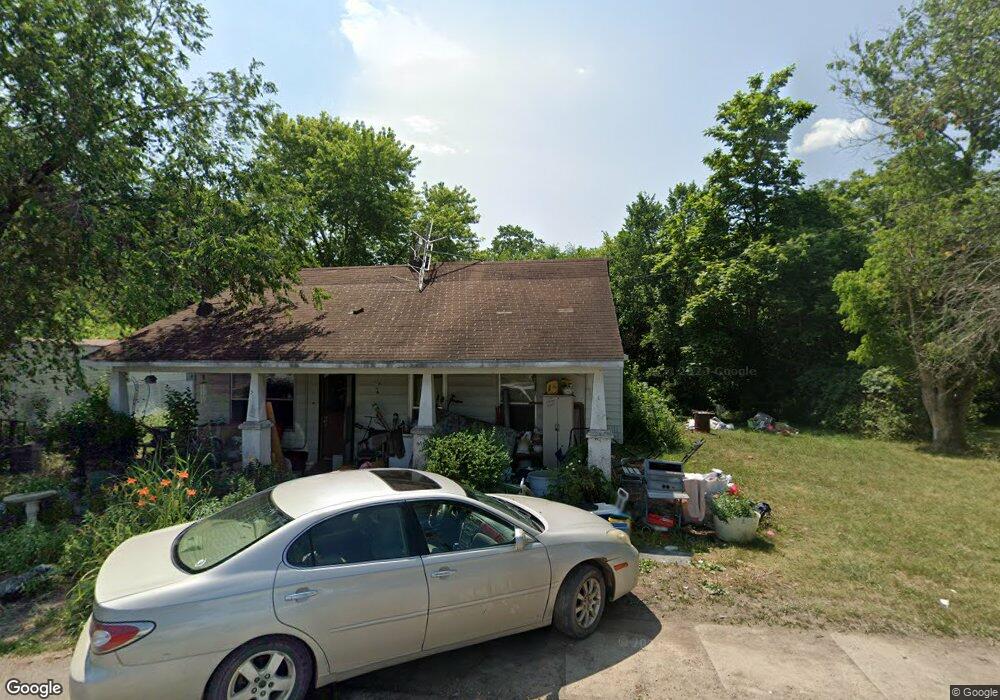
100 Maple St Stoutland, MO 65567
Estimated Value: $130,746 - $453,000
2
Beds
--
Bath
1,314
Sq Ft
$189/Sq Ft
Est. Value
About This Home
This home is located at 100 Maple St, Stoutland, MO 65567 and is currently estimated at $247,915, approximately $188 per square foot. 100 Maple St is a home located in Laclede County with nearby schools including Stoutland Elementary School and Stoutland High School.
Ownership History
Date
Name
Owned For
Owner Type
Purchase Details
Closed on
Jan 23, 2025
Sold by
Christie Connie and Christie James
Bought by
Ol Mcdarby Properties Llc
Current Estimated Value
Home Financials for this Owner
Home Financials are based on the most recent Mortgage that was taken out on this home.
Original Mortgage
$28,000
Outstanding Balance
$27,807
Interest Rate
6.85%
Mortgage Type
Credit Line Revolving
Estimated Equity
$220,108
Purchase Details
Closed on
Nov 16, 2018
Sold by
Brooks Ladon and Crabtree Ladora
Bought by
Brooks Ladon and Christie Connie
Create a Home Valuation Report for This Property
The Home Valuation Report is an in-depth analysis detailing your home's value as well as a comparison with similar homes in the area
Purchase History
| Date | Buyer | Sale Price | Title Company |
|---|---|---|---|
| Ol Mcdarby Properties Llc | -- | Great American Title | |
| Ol Mcdarby Properties Llc | -- | Great American Title | |
| Brooks Ladon | -- | None Available |
Source: Public Records
Mortgage History
| Date | Status | Borrower | Loan Amount |
|---|---|---|---|
| Open | Ol Mcdarby Properties Llc | $28,000 | |
| Closed | Ol Mcdarby Properties Llc | $28,000 |
Source: Public Records
Tax History
| Year | Tax Paid | Tax Assessment Tax Assessment Total Assessment is a certain percentage of the fair market value that is determined by local assessors to be the total taxable value of land and additions on the property. | Land | Improvement |
|---|---|---|---|---|
| 2025 | $251 | $6,840 | $0 | $0 |
| 2024 | $251 | $5,980 | $0 | $0 |
| 2023 | $249 | $5,980 | $0 | $0 |
| 2022 | $249 | $5,980 | $0 | $0 |
| 2021 | $241 | $6,042 | $2,166 | $3,876 |
| 2020 | $242 | $6,042 | $2,166 | $3,876 |
| 2019 | $242 | $5,980 | $2,100 | $3,880 |
| 2018 | $236 | $5,980 | $2,100 | $3,880 |
| 2017 | $228 | $5,980 | $0 | $0 |
| 2016 | $228 | $6,950 | $0 | $0 |
| 2015 | $228 | $6,950 | $0 | $0 |
| 2014 | $228 | $6,950 | $0 | $0 |
| 2013 | -- | $6,950 | $0 | $0 |
Source: Public Records
Map
Nearby Homes
- 000 Hwy H&t
- 174 Maple St
- 401 S Highway T
- 000 S Highway T
- 299 Rogers Ave
- 29550 King Rd
- 2066 State Road Jj
- 2066 State Highway Jj
- 30017 Jeffries Rd
- 31994 State Road Jj
- 2518 State Highway H
- 2818 State Highway H
- 31994 State Highway Jj
- 000 State Highway T
- 30050 Highway T
- 30050 State Highway T
- 181 Bennett Rd
- 24770 Juniper Rd
- TBD Keepsake Rd
- 470 Good Friends Ln
- 101 Maple St
- 0 King Rd Unit 14046616
- 0 King Rd Unit MAR24026331
- 0 King Rd Unit 23024709
- 0 King Rd Unit 21447
- 104 Maple St
- 103 E Maple St
- 117 S Oak St
- 105 Maple St
- 132 Maple St
- 127 Maple St
- 102 Maple St
- 147 Maple St
- 147 Maple St
- 147 Maple St
- 155 Maple St
- 485 Armstrong Rd
- 186 Armstrong Rd
- 7814 State Road T
- 459 Armstrong Rd
Your Personal Tour Guide
Ask me questions while you tour the home.