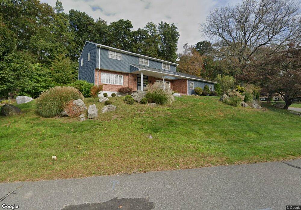
100 Maybrook Rd Waterbury, CT 06708
West End District NeighborhoodEstimated Value: $450,442 - $641,000
4
Beds
3
Baths
3,051
Sq Ft
$179/Sq Ft
Est. Value
About This Home
This home is located at 100 Maybrook Rd, Waterbury, CT 06708 and is currently estimated at $544,861, approximately $178 per square foot. 100 Maybrook Rd is a home located in New Haven County with nearby schools including B.W. Tinker School, West Side Middle School, and John F. Kennedy High School.
Ownership History
Date
Name
Owned For
Owner Type
Purchase Details
Closed on
May 23, 2003
Sold by
Delcolle Wallace V and Delcolle Yvette
Bought by
Costa Julio and Costa Maria C
Current Estimated Value
Home Financials for this Owner
Home Financials are based on the most recent Mortgage that was taken out on this home.
Original Mortgage
$239,100
Interest Rate
5.86%
Mortgage Type
Purchase Money Mortgage
Purchase Details
Closed on
Jan 15, 2002
Sold by
Tarr Frances R
Bought by
Delcolle Wallace V and Delcolle Yvette
Home Financials for this Owner
Home Financials are based on the most recent Mortgage that was taken out on this home.
Original Mortgage
$207,000
Interest Rate
7.04%
Mortgage Type
Purchase Money Mortgage
Create a Home Valuation Report for This Property
The Home Valuation Report is an in-depth analysis detailing your home's value as well as a comparison with similar homes in the area
Home Values in the Area
Average Home Value in this Area
Purchase History
| Date | Buyer | Sale Price | Title Company |
|---|---|---|---|
| Costa Julio | $251,750 | -- | |
| Delcolle Wallace V | $230,000 | -- |
Source: Public Records
Mortgage History
| Date | Status | Borrower | Loan Amount |
|---|---|---|---|
| Closed | Delcolle Wallace V | $43,340 | |
| Open | Delcolle Wallace V | $222,970 | |
| Closed | Delcolle Wallace V | $239,100 | |
| Previous Owner | Delcolle Wallace V | $207,000 |
Source: Public Records
Tax History Compared to Growth
Tax History
| Year | Tax Paid | Tax Assessment Tax Assessment Total Assessment is a certain percentage of the fair market value that is determined by local assessors to be the total taxable value of land and additions on the property. | Land | Improvement |
|---|---|---|---|---|
| 2025 | $11,398 | $253,400 | $33,390 | $220,010 |
| 2024 | $12,528 | $253,400 | $33,390 | $220,010 |
| 2023 | $13,732 | $253,400 | $33,390 | $220,010 |
| 2022 | $9,657 | $160,390 | $33,370 | $127,020 |
| 2021 | $9,657 | $160,390 | $33,370 | $127,020 |
| 2020 | $9,657 | $160,390 | $33,370 | $127,020 |
| 2019 | $9,657 | $160,390 | $33,370 | $127,020 |
| 2018 | $9,657 | $160,390 | $33,370 | $127,020 |
| 2017 | $9,813 | $162,980 | $33,370 | $129,610 |
| 2016 | $9,813 | $162,980 | $33,370 | $129,610 |
| 2015 | $9,489 | $162,980 | $33,370 | $129,610 |
| 2014 | $9,489 | $162,980 | $33,370 | $129,610 |
Source: Public Records
Map
Nearby Homes
- 77 Eastfield Rd
- 55 Eastfield Rd
- 49 Southridge Dr
- 61 Campfield Rd
- 141 Joshua Town Rd
- 197 Hickory Hill Dr
- 26 Oakleaf Dr
- 120 Mason Ave
- 0 Mason Ave
- 25 Parkwood Ave
- 110 Wooster Ave
- 149 Lakeside Blvd E
- 1 Ruth Parsons Dr
- 67 Barrington Ln
- 804 Washington Avenue Extension
- 372 Anna Ave
- 69 Tree Hill Rd
- 782 Oronoke Rd Unit 27
- 62 Rosemount Ave
- 35 Hewey St
- 124 Maybrook Rd
- 121 Maybrook Rd
- 99 Maybrook Rd
- 67 Maybrook Rd
- 81 Mayfield Rd
- LOT 7B Maybrook Rd
- 58 Mayfield Rd
- 162 Maybrook Rd
- 157 Maybrook Rd
- 45 Maybrook Rd
- 25 Maybrook Rd
- 184 Maybrook Rd
- 22 Maybrook Rd
- 181 Maybrook Rd
- 45 Mayfield Rd
- 77 Middleway E
- 46 Mayfield Rd
- 83 Middleway E
- 5 Maybrook Rd
- 205 Maybrook Rd