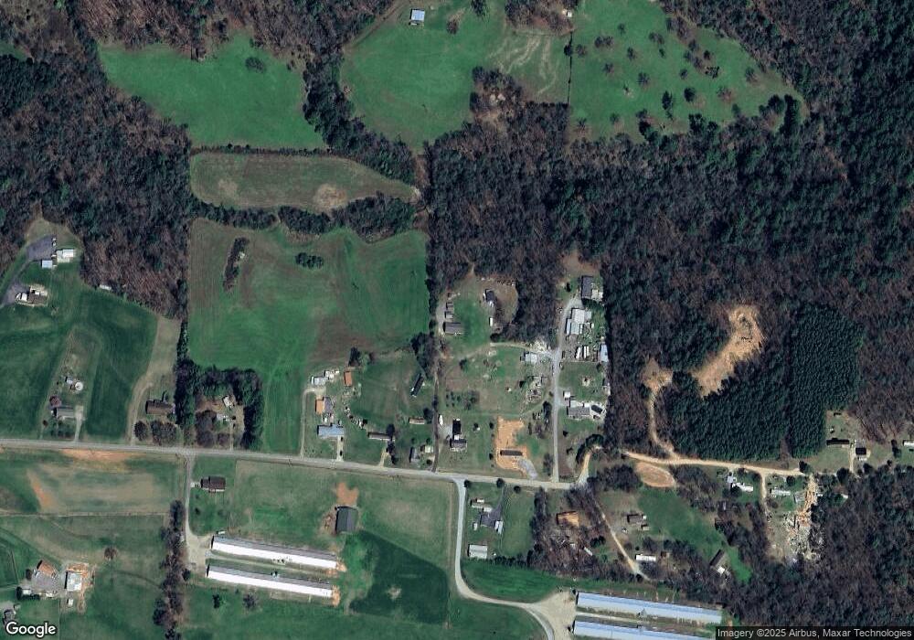
100 Mccarty Ln Taylorsville, NC 28681
Estimated Value: $341,000 - $390,000
3
Beds
2
Baths
1,856
Sq Ft
$195/Sq Ft
Est. Value
About This Home
This home is located at 100 Mccarty Ln, Taylorsville, NC 28681 and is currently estimated at $362,333, approximately $195 per square foot. 100 Mccarty Ln is a home with nearby schools including Wittenburg Elementary School, West Alexander Middle School, and Alexander Central High School.
Ownership History
Date
Name
Owned For
Owner Type
Purchase Details
Closed on
May 12, 2016
Sold by
Hayes Ii Bobby Joe
Bought by
Setzer Kristen Nicole
Current Estimated Value
Purchase Details
Closed on
Mar 25, 2015
Sold by
Eldreth William Chad and Eldreth Summer Walker
Bought by
Hayes Ii Bobby Joe and Setzer Kristen Nicole
Home Financials for this Owner
Home Financials are based on the most recent Mortgage that was taken out on this home.
Original Mortgage
$50,000
Interest Rate
3.79%
Mortgage Type
New Conventional
Create a Home Valuation Report for This Property
The Home Valuation Report is an in-depth analysis detailing your home's value as well as a comparison with similar homes in the area
Home Values in the Area
Average Home Value in this Area
Purchase History
| Date | Buyer | Sale Price | Title Company |
|---|---|---|---|
| Setzer Kristen Nicole | -- | None Available | |
| Hayes Ii Bobby Joe | $44,000 | None Available |
Source: Public Records
Mortgage History
| Date | Status | Borrower | Loan Amount |
|---|---|---|---|
| Previous Owner | Hayes Ii Bobby Joe | $50,000 |
Source: Public Records
Tax History Compared to Growth
Tax History
| Year | Tax Paid | Tax Assessment Tax Assessment Total Assessment is a certain percentage of the fair market value that is determined by local assessors to be the total taxable value of land and additions on the property. | Land | Improvement |
|---|---|---|---|---|
| 2025 | $1,650 | $232,994 | $33,585 | $199,409 |
| 2024 | $1,696 | $232,994 | $33,585 | $199,409 |
| 2023 | $418 | $53,071 | $33,585 | $19,486 |
| 2022 | $354 | $36,738 | $26,232 | $10,506 |
| 2021 | $356 | $36,738 | $26,232 | $10,506 |
| 2020 | $312 | $36,738 | $26,232 | $10,506 |
| 2019 | $312 | $36,738 | $26,232 | $10,506 |
| 2018 | $308 | $36,738 | $26,232 | $10,506 |
| 2017 | $308 | $36,738 | $26,232 | $10,506 |
| 2016 | $363 | $36,738 | $26,232 | $10,506 |
| 2015 | $308 | $36,738 | $26,232 | $10,506 |
| 2014 | $308 | $35,685 | $32,790 | $2,895 |
| 2012 | -- | $35,685 | $32,790 | $2,895 |
Source: Public Records
Map
Nearby Homes
- 79 Rachels Ln
- 356 Barrett Mountain Rd
- 79 Isenhour Park Road Extension
- 2022 Friendship Church Rd
- 102 Kerda St
- TBD Ridge Creek Dr Unit 6,4,7
- 85 Cornerstone Dr
- 840 Happy Plains Rd
- 157 Franklin Ln
- 12+13 Franklin Ln Unit 12+13
- 0 82 08 Acre Development Property Happy Plains Rd
- 4506 Rink Dam Rd
- 000 Old Landfill Rd
- NC 16 N N Carolina Highway 16
- 166 Mull Dr
- 0000 Shorty Miller Rd
- 7133 Church Rd
- 34&20 Shorty Miller Rd
- 72 Crouch Rd
- 1.19 Acres Crouch Rd Unit Lot 12
