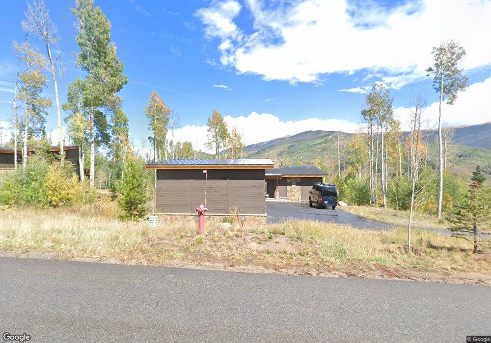
100 Mckay Trail Silverthorne, CO 80498
Estimated Value: $2,545,000 - $2,775,130
4
Beds
4
Baths
1,514
Sq Ft
$1,748/Sq Ft
Est. Value
About This Home
This home is located at 100 Mckay Trail, Silverthorne, CO 80498 and is currently estimated at $2,645,783, approximately $1,747 per square foot. 100 Mckay Trail is a home with nearby schools including Silverthorne Elementary School, Summit Middle School, and Summit High School.
Ownership History
Date
Name
Owned For
Owner Type
Purchase Details
Closed on
Sep 17, 2019
Sold by
Paulsen Brian A and Paulsen Bobbie E
Bought by
The Brian Paulsen And Bobbi Sprehn Trust
Current Estimated Value
Home Financials for this Owner
Home Financials are based on the most recent Mortgage that was taken out on this home.
Original Mortgage
$1,158,031
Outstanding Balance
$1,004,111
Interest Rate
3.12%
Mortgage Type
Adjustable Rate Mortgage/ARM
Estimated Equity
$1,641,672
Purchase Details
Closed on
Aug 28, 2019
Sold by
Maryland Creek Ranch Builders
Bought by
Paulsen Brian A and Sprehn Bobbi E
Home Financials for this Owner
Home Financials are based on the most recent Mortgage that was taken out on this home.
Original Mortgage
$1,158,031
Outstanding Balance
$1,004,111
Interest Rate
3.12%
Mortgage Type
Adjustable Rate Mortgage/ARM
Estimated Equity
$1,641,672
Create a Home Valuation Report for This Property
The Home Valuation Report is an in-depth analysis detailing your home's value as well as a comparison with similar homes in the area
Home Values in the Area
Average Home Value in this Area
Purchase History
| Date | Buyer | Sale Price | Title Company |
|---|---|---|---|
| The Brian Paulsen And Bobbi Sprehn Trust | -- | Land Title Guarantee Co | |
| Paulsen Brian A | $1,544,100 | None Available |
Source: Public Records
Mortgage History
| Date | Status | Borrower | Loan Amount |
|---|---|---|---|
| Open | Paulsen Brian A | $1,158,031 |
Source: Public Records
Tax History Compared to Growth
Tax History
| Year | Tax Paid | Tax Assessment Tax Assessment Total Assessment is a certain percentage of the fair market value that is determined by local assessors to be the total taxable value of land and additions on the property. | Land | Improvement |
|---|---|---|---|---|
| 2024 | $17,339 | $147,842 | -- | -- |
| 2023 | $17,339 | $144,157 | $0 | $0 |
| 2022 | $12,230 | $100,379 | $0 | $0 |
| 2021 | $12,338 | $103,267 | $0 | $0 |
| 2020 | $10,596 | $91,421 | $0 | $0 |
| 2019 | $3,918 | $34,014 | $0 | $0 |
| 2018 | $7,099 | $60,990 | $0 | $0 |
| 2017 | $1,162 | $10,391 | $0 | $0 |
Source: Public Records
Map
Nearby Homes
- 280 Mckay Rd
- 127 Maryland Creek Rd
- 119 Young's Preserve
- 18 Lena Way
- 182 Vendette Rd
- 143 Beasley Rd
- 151 Moss Way
- 160 Vendette Rd
- 17 Vendette Rd
- 115 Game Trail Rd
- 230 Game Trail Rd
- 149 Game Trail Rd
- 210 Game Trail Rd
- 150 Game Trail Rd
- 330 High Park Ct
- 170 Arnica Ln
- 1525 Golden Eagle Rd
- 43 Maverick Way
- 190 Easy Bend Trail
- 283 Mckay Rd
- 243 Mckay Rd
- 170 Byers Valley Rd
- 56 Mckay Trail
- 120 Byers Valley Rd
- 120 Byers Valley Rd Unit Lot 68
- 11 Mckay Place
- 185 Mckay Rd
- 185 Mckay Rd
- 94 Byers Valley Rd
- 27 Mckay Place
- 24 Mckay Place
- 155 Mckay Rd
- 79 Byers Valley Rd
- 815 Mckay Place
- 8 Byers Valley Rd
- 307 Maryland Creek Rd
- 59 Byers Valley Rd
- 62 Mckay Place
- 217 Maryland Creek Rd