100 Middleboro Rd East Freetown, MA 02717
Estimated Value: $631,000 - $823,000
3
Beds
2
Baths
1,992
Sq Ft
$350/Sq Ft
Est. Value
About This Home
This home is located at 100 Middleboro Rd, East Freetown, MA 02717 and is currently estimated at $698,091, approximately $350 per square foot. 100 Middleboro Rd is a home located in Bristol County with nearby schools including Freetown Elementary School, George R Austin Intermediate School, and Freetown-Lakeville Middle School.
Ownership History
Date
Name
Owned For
Owner Type
Purchase Details
Closed on
May 24, 2019
Sold by
Preston Cindy L Est and Christoun
Bought by
Preston Jillian V and Jusseaume Jenna
Current Estimated Value
Purchase Details
Closed on
Jan 23, 2013
Sold by
Pittsley Leocadia V
Bought by
Preston Cindy L
Purchase Details
Closed on
Dec 20, 2007
Sold by
Pittsley Cindy L and Preston Cindy L
Bought by
Preston Cindy L
Create a Home Valuation Report for This Property
The Home Valuation Report is an in-depth analysis detailing your home's value as well as a comparison with similar homes in the area
Home Values in the Area
Average Home Value in this Area
Purchase History
| Date | Buyer | Sale Price | Title Company |
|---|---|---|---|
| Preston Jillian V | -- | -- | |
| Preston Jillian V | -- | -- | |
| Preston Cindy L | -- | -- | |
| Preston Cindy L | -- | -- | |
| Preston Cindy L | -- | -- | |
| Preston Cindy L | -- | -- |
Source: Public Records
Mortgage History
| Date | Status | Borrower | Loan Amount |
|---|---|---|---|
| Previous Owner | Preston Cindy L | $30,000 | |
| Previous Owner | Preston Cindy L | $100,000 |
Source: Public Records
Tax History Compared to Growth
Tax History
| Year | Tax Paid | Tax Assessment Tax Assessment Total Assessment is a certain percentage of the fair market value that is determined by local assessors to be the total taxable value of land and additions on the property. | Land | Improvement |
|---|---|---|---|---|
| 2025 | $5,833 | $588,600 | $245,300 | $343,300 |
| 2024 | $5,796 | $555,700 | $231,400 | $324,300 |
| 2023 | $5,598 | $522,700 | $208,400 | $314,300 |
| 2022 | $5,391 | $447,000 | $176,400 | $270,600 |
| 2021 | $5,192 | $408,800 | $160,300 | $248,500 |
| 2020 | $5,026 | $386,000 | $154,000 | $232,000 |
| 2019 | $4,880 | $371,100 | $152,200 | $218,900 |
| 2018 | $4,661 | $350,200 | $152,200 | $198,000 |
| 2017 | $4,554 | $341,900 | $152,200 | $189,700 |
| 2016 | $4,373 | $334,100 | $147,900 | $186,200 |
| 2015 | $4,269 | $330,900 | $147,900 | $183,000 |
| 2014 | $4,285 | $339,800 | $150,300 | $189,500 |
Source: Public Records
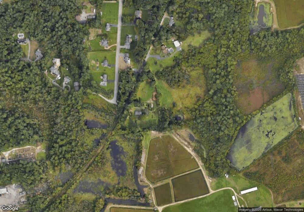
Map
Nearby Homes
- 3 Abraham Ave
- 9 Paul Ave
- 247 Braley Hill Rd
- 269 Middleboro Rd
- 28 Cedar Hill Dr
- 4597 Acushnet Ave
- 168 Keene Rd
- 0 Costa Dr
- 120 Hackett Ave
- 60 Lakeside Ave
- 319 Northwest St
- 0 Keene Rd Unit 73459818
- 1069 Cherokee St
- 16 Swallow St
- 714 Snipatuit Rd
- 13 Luscomb Ln
- 1475 Braley Rd Unit 17
- 199 Quaker Ln
- 50 Blueberry Dr
- 15 Morrison Way