100 Miriah Ln Unit T4 Leesville, LA 71446
Estimated Value: $72,000 - $111,367
--
Bed
--
Bath
--
Sq Ft
0.3
Acres
About This Home
This home is located at 100 Miriah Ln Unit T4, Leesville, LA 71446 and is currently estimated at $90,842. 100 Miriah Ln Unit T4 is a home located in Vernon Parish.
Ownership History
Date
Name
Owned For
Owner Type
Purchase Details
Closed on
May 16, 2025
Sold by
Hall Redden Jennifer Marie and Hall Young Jennifer Marie
Bought by
Nicolelee Properties Llc
Current Estimated Value
Home Financials for this Owner
Home Financials are based on the most recent Mortgage that was taken out on this home.
Original Mortgage
$84,700
Outstanding Balance
$84,399
Interest Rate
6.64%
Mortgage Type
New Conventional
Estimated Equity
$6,443
Purchase Details
Closed on
Jul 17, 2024
Sold by
City Of Leesville
Bought by
Aisek Strategies Llc
Create a Home Valuation Report for This Property
The Home Valuation Report is an in-depth analysis detailing your home's value as well as a comparison with similar homes in the area
Home Values in the Area
Average Home Value in this Area
Purchase History
| Date | Buyer | Sale Price | Title Company |
|---|---|---|---|
| Nicolelee Properties Llc | $70,000 | None Listed On Document | |
| Aisek Strategies Llc | $651 | None Listed On Document |
Source: Public Records
Mortgage History
| Date | Status | Borrower | Loan Amount |
|---|---|---|---|
| Open | Nicolelee Properties Llc | $84,700 |
Source: Public Records
Tax History Compared to Growth
Tax History
| Year | Tax Paid | Tax Assessment Tax Assessment Total Assessment is a certain percentage of the fair market value that is determined by local assessors to be the total taxable value of land and additions on the property. | Land | Improvement |
|---|---|---|---|---|
| 2024 | $546 | $4,640 | $540 | $4,100 |
| 2023 | $504 | $4,300 | $540 | $3,760 |
| 2022 | $496 | $4,300 | $540 | $3,760 |
| 2021 | $528 | $4,300 | $540 | $3,760 |
| 2020 | $544 | $4,300 | $540 | $3,760 |
| 2019 | $561 | $4,300 | $540 | $3,760 |
| 2018 | $559 | $4,300 | $540 | $3,760 |
| 2017 | $558 | $4,300 | $540 | $3,760 |
| 2015 | $545 | $4,300 | $540 | $3,760 |
| 2014 | $488 | $4,300 | $540 | $3,760 |
| 2013 | $578 | $4,300 | $540 | $3,760 |
Source: Public Records
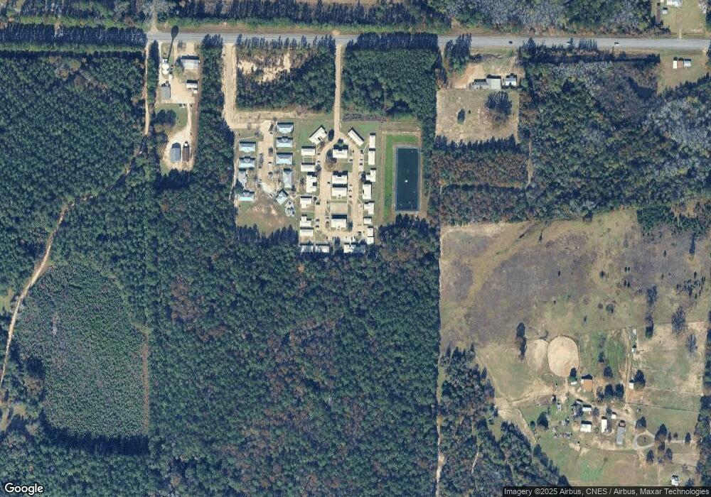
Map
Nearby Homes
- 0 Lot 7 Lebleu Settlement Unit 29-2021
- 0 Graham Rd
- 0 Lot 6 Lebleu Settlement Unit 29-2022
- 0 Lot 12 Lebleu Settlement Unit 29-2027
- 0 Lot 8 Lebleu Settlement Unit 29-2023
- 0 Lot 22 Lebleu Settlement Unit 29-2032
- 0 Lot 9 Lebleu Settlement Unit 29-2024
- 0 Lot 17 Lebleu Settlement Unit 29-2028
- 0 Lot 20 Lebleu Settlement Unit 29-2030
- 0 Lebleu Settlement Unit SWL22004764
- 0 Lebleu Settlement Unit 29-1633
- 0 Lot 10 Lebleu Settlement Unit 29-2025
- 0 Lot 11 Lebleu Settlement Unit 29-2026
- 0 Lot 18 Lebleu Settlement Unit 29-2029
- 0 Lot 21 Lebleu Settlement Unit 29-2031
- 10 Lebleu Rd
- 21 Lebleu Rd
- 12 Lebleu Rd
- 11 Lebleu Rd
- 7 Lebleu Rd
- 1307 Lebleu Rd
- 739 Pitkin Rd
- 739 Pitkin Rd
- 312 Harvey Oaks Rd
- 1183 Lebleu Rd Unit 77
- 143 Lonnie Jeane Loop
- 185 Alva Duncan Rd
- 484 Pitkin Rd
- 184 Alva Duncan Rd
- 0 Hwy 10 & Graham Rd Unit 17-957
- 141 Lonnie Jeane Loop
- 228 Alva Duncan Rd
- 1207 Pitkin Rd
- 216 Alva Duncan Rd
- 319 Lonnie Jeane Loop
- 391 Lonnie Jeane Loop
- 2170 Graham Rd
- 118 Ronnie Mitchell
- 294 Graham Rd
- 1225 Pitkin Rd