Estimated Value: $995,000 - $1,114,000
3
Beds
4
Baths
3,924
Sq Ft
$264/Sq Ft
Est. Value
About This Home
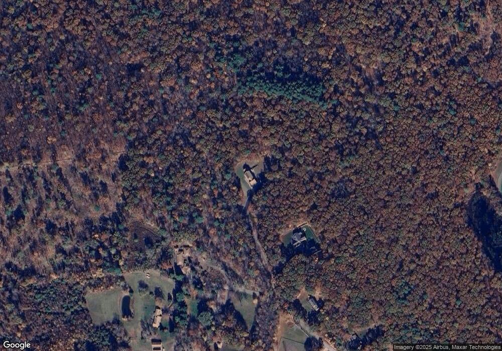
This home is located at 100 Miscoe Hill Rd, Upton, MA 01568 and is currently estimated at $1,035,397, approximately $263 per square foot. 100 Miscoe Hill Rd is a home with nearby schools including Nipmuc Regional High School.
Ownership History
Date
Name
Owned For
Owner Type
Purchase Details
Closed on
May 2, 2024
Sold by
Philbrick Kevin A
Bought by
Entropy T T and Entropy Philbrick
Current Estimated Value
Create a Home Valuation Report for This Property
The Home Valuation Report is an in-depth analysis detailing your home's value as well as a comparison with similar homes in the area
Home Values in the Area
Average Home Value in this Area
Purchase History
| Date | Buyer | Sale Price | Title Company |
|---|---|---|---|
| Entropy T T | -- | None Available | |
| Entropy T T | -- | None Available |
Source: Public Records
Tax History
| Year | Tax Paid | Tax Assessment Tax Assessment Total Assessment is a certain percentage of the fair market value that is determined by local assessors to be the total taxable value of land and additions on the property. | Land | Improvement |
|---|---|---|---|---|
| 2025 | $12,436 | $945,700 | $295,200 | $650,500 |
| 2024 | $12,393 | $905,900 | $287,600 | $618,300 |
| 2023 | $9,635 | $694,700 | $217,700 | $477,000 |
| 2022 | $11,600 | $691,700 | $217,700 | $474,000 |
| 2021 | $11,094 | $668,300 | $251,100 | $417,200 |
| 2020 | $11,212 | $651,100 | $241,200 | $409,900 |
| 2019 | $10,891 | $629,200 | $211,600 | $417,600 |
| 2018 | $10,440 | $605,900 | $199,400 | $406,500 |
| 2017 | $10,013 | $551,400 | $191,100 | $360,300 |
| 2016 | $9,861 | $531,300 | $158,400 | $372,900 |
| 2015 | $1,912 | $112,800 | $112,800 | $0 |
| 2014 | $1,824 | $107,600 | $107,600 | $0 |
Source: Public Records
Map
Nearby Homes
- 34 Rawson Farm Rd
- 20 Rawson Farm Rd
- 19 Rawson Farm Rd
- 17 Forest Park Dr
- 7 Jewell Crossing
- 55 Northbridge Rd
- 7 Sawmill Brook Ln
- 6 Sawmill Brook Ln
- 185 Prairie St
- 255 Prairie St
- 103 Prairie St
- 3 Moon Hill Rd
- 4 Moon Hill Rd
- 16 Bancroft Park
- 13 Valerie Run
- 211 Dutcher St
- 12 Valerie Run
- Lot 24 Monica Way
- Lot 23 Monica Way
- Lot 16 Monica Way
Your Personal Tour Guide
Ask me questions while you tour the home.