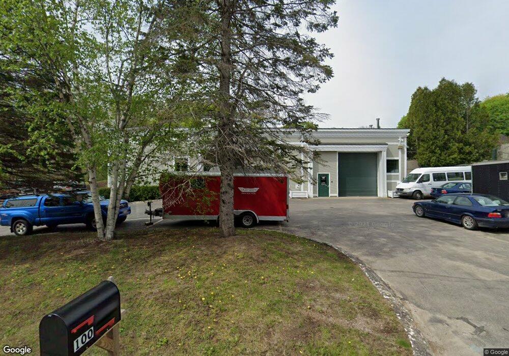
100 Mount Battie St Camden, ME 04843
Estimated Value: $968,073
--
Bed
--
Bath
10,490
Sq Ft
$92/Sq Ft
Est. Value
About This Home
This home is located at 100 Mount Battie St, Camden, ME 04843 and is currently estimated at $968,073, approximately $92 per square foot. 100 Mount Battie St is a home located in Knox County with nearby schools including Camden-Rockport Elementary School, Camden-Rockport Middle School, and Camden Hills Regional High School.
Ownership History
Date
Name
Owned For
Owner Type
Purchase Details
Closed on
Oct 9, 2014
Sold by
Camden Office Llc
Bought by
Cranesport Llc
Current Estimated Value
Purchase Details
Closed on
Dec 2, 2010
Sold by
100 Mount Battie St Llc
Bought by
Camden Office Llc
Purchase Details
Closed on
Dec 27, 2005
Sold by
Mbna Delaware Props Inc
Bought by
100 Mt Battie Street Llc
Create a Home Valuation Report for This Property
The Home Valuation Report is an in-depth analysis detailing your home's value as well as a comparison with similar homes in the area
Home Values in the Area
Average Home Value in this Area
Purchase History
| Date | Buyer | Sale Price | Title Company |
|---|---|---|---|
| Cranesport Llc | -- | -- | |
| Camden Office Llc | -- | -- | |
| 100 Mt Battie Street Llc | -- | -- |
Source: Public Records
Tax History Compared to Growth
Tax History
| Year | Tax Paid | Tax Assessment Tax Assessment Total Assessment is a certain percentage of the fair market value that is determined by local assessors to be the total taxable value of land and additions on the property. | Land | Improvement |
|---|---|---|---|---|
| 2024 | $7,476 | $712,000 | $119,600 | $592,400 |
| 2023 | $8,136 | $589,600 | $85,800 | $503,800 |
| 2022 | $7,783 | $589,600 | $85,800 | $503,800 |
| 2021 | $7,893 | $514,200 | $71,500 | $442,700 |
| 2020 | $7,728 | $514,200 | $71,500 | $442,700 |
| 2019 | $7,667 | $514,200 | $71,500 | $442,700 |
| 2018 | $7,651 | $514,200 | $71,500 | $442,700 |
| 2017 | $7,394 | $514,200 | $71,500 | $442,700 |
| 2016 | $6,330 | $406,000 | $70,300 | $335,700 |
| 2015 | $6,143 | $406,000 | $70,300 | $335,700 |
| 2014 | $5,859 | $406,000 | $70,300 | $335,700 |
| 2013 | $5,700 | $406,000 | $70,300 | $335,700 |
Source: Public Records
Map
Nearby Homes
- 110 Mountain St
- 1 Branch St
- 10 Glenfield Cir
- 80 Cobb Rd
- 11 A Mountainside Park
- 00 Mountain Arrow Dr Unit LOT B
- 122,6-1 Timbercliffe Dr
- 122,7-1 Timbercliffe Dr
- 159 Mechanic St
- 9 Harden Ave
- 43 Melvin Heights Rd
- 33 Pearl St
- 27 High St
- 12 Free St
- 24 Timbercliffe Dr
- 73 (2) Elm St
- 73 Elm St
- 67 Elm St
- 59 High St
- 56 Elm St
- 96 Mount Battie St
- 125 Mount Battie St
- 127 Mount Battie St
- 123 Mount Battie St
- 129 Mount Battie St
- 10 Madison Way
- 5 Madison Way
- 163 Washington St
- 201 Washington St
- 161 Washington St
- 205 Washington St
- 16 Madison Way
- 0 Outer Washington St
- 60 Mount Battie St
- 170 Washington St
- 13 Madison Way
- 176 Washington St
- 17 Madison Way
- 166 Washington St
- 164 Washington St