100 Mountain View Rd Dawsonville, GA 30534
Dawson County NeighborhoodEstimated Value: $415,000 - $675,000
3
Beds
2
Baths
2,922
Sq Ft
$191/Sq Ft
Est. Value
About This Home
This home is located at 100 Mountain View Rd, Dawsonville, GA 30534 and is currently estimated at $559,557, approximately $191 per square foot. 100 Mountain View Rd is a home located in Dawson County with nearby schools including Robinson Elementary School, Dawson County Junior High School, and Dawson County Middle School.
Ownership History
Date
Name
Owned For
Owner Type
Purchase Details
Closed on
Mar 2, 1998
Sold by
Blythe Robert H
Bought by
Blythe Robert and Blythe Alis
Current Estimated Value
Purchase Details
Closed on
Jan 21, 1997
Sold by
Blythe Robert H
Bought by
Blythe Robert H
Purchase Details
Closed on
Jan 2, 1997
Sold by
Blythe Robert H
Bought by
Blythe Robert H
Purchase Details
Closed on
Apr 10, 1995
Sold by
Arduengo Adrian E
Bought by
Blythe Robert H
Create a Home Valuation Report for This Property
The Home Valuation Report is an in-depth analysis detailing your home's value as well as a comparison with similar homes in the area
Home Values in the Area
Average Home Value in this Area
Purchase History
| Date | Buyer | Sale Price | Title Company |
|---|---|---|---|
| Blythe Robert | -- | -- | |
| Blythe Robert H | -- | -- | |
| Blythe Robert H | $70,000 | -- | |
| Blythe Robert H | $35,000 | -- | |
| Blythe Robert H | $15,300 | -- |
Source: Public Records
Tax History Compared to Growth
Tax History
| Year | Tax Paid | Tax Assessment Tax Assessment Total Assessment is a certain percentage of the fair market value that is determined by local assessors to be the total taxable value of land and additions on the property. | Land | Improvement |
|---|---|---|---|---|
| 2024 | $2,872 | $178,616 | $57,800 | $120,816 |
| 2023 | $2,872 | $156,256 | $44,040 | $112,216 |
| 2022 | $2,275 | $108,208 | $24,800 | $83,408 |
| 2021 | $1,943 | $87,860 | $18,960 | $68,900 |
| 2020 | $1,865 | $80,820 | $13,520 | $67,300 |
| 2019 | $1,902 | $81,700 | $13,520 | $68,180 |
| 2018 | $1,906 | $81,700 | $13,520 | $68,180 |
| 2017 | $1,352 | $58,531 | $11,278 | $47,253 |
| 2016 | $1,332 | $57,708 | $11,278 | $46,430 |
| 2015 | $1,363 | $57,199 | $10,770 | $46,430 |
| 2014 | $1,209 | $49,428 | $10,770 | $38,658 |
| 2013 | -- | $44,233 | $10,769 | $33,463 |
Source: Public Records
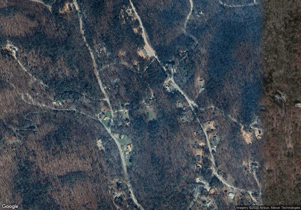
Map
Nearby Homes
- 0 Mccormick Dr Unit 10509566
- 0 Mccormick Dr Unit 7568882
- 590 Ridge Rd
- 38 &51 Mountain Crest Rd
- 117 Poplar Dr
- 748 Elm Ln
- 748 Elm Ln Unit 8A
- 564 Ridge Rd
- 0 Crane Rd Unit 10445403
- 637 Amicalola Dr
- 111 Amicalola Dr
- 3853 Billabong Trail Unit 113
- 3845 Billabong Trail Unit 111
- 2716 Bailey Waters Rd
- 117 Joes Cove
- 45 Chester Rd
- 00 Chester Rd
- 00 Afton Rd
- 0 Afton Rd Unit 4 10486991
- 0 Afton Rd Unit 3 10486978
- 315 April Trace Rd
- 315 April Trace
- 256 Fern Valley Rd
- 0 Splinter Trail Unit LOT 89 3132107
- 0 Splinter Trail Unit LOT 89 7003538
- 0 Splinter Trail Unit LOT 63 7121374
- 0 Splinter Trail
- 0 Splinter Trail Unit 7196029
- 0 Splinter Trail Unit 7282373
- 0 Splinter Trail Unit 6901820
- 0 Splinter Trail Unit 91 8898170
- 0 Splinter Trail Unit 6816272
- 0 Splinter Trail Unit 6696743
- 0 Splinter Trail Unit 91 8754492
- 0 Splinter Trail Unit 7143928
- 0 Splinter Trail Unit 7212642
- 0 Splinter Trail Unit 6527741
- 0 Splinter Trail Unit 83-86 8554840
- 305 April Trace
- 24 Splinter Trail