Estimated Value: $272,000 - $284,000
3
Beds
2
Baths
1,666
Sq Ft
$167/Sq Ft
Est. Value
About This Home
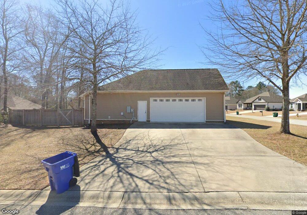
This home is located at 100 Mullin Cir, Perry, GA 31069 and is currently estimated at $278,596, approximately $167 per square foot. 100 Mullin Cir is a home located in Houston County with nearby schools including Kings Chapel Elementary School, Perry Middle School, and Perry High School.
Ownership History
Date
Name
Owned For
Owner Type
Purchase Details
Closed on
May 28, 2014
Sold by
Colony Bank
Bought by
Flournoy William H
Current Estimated Value
Home Financials for this Owner
Home Financials are based on the most recent Mortgage that was taken out on this home.
Original Mortgage
$125,000
Interest Rate
4.36%
Mortgage Type
New Conventional
Create a Home Valuation Report for This Property
The Home Valuation Report is an in-depth analysis detailing your home's value as well as a comparison with similar homes in the area
Home Values in the Area
Average Home Value in this Area
Purchase History
| Date | Buyer | Sale Price | Title Company |
|---|---|---|---|
| Flournoy William H | $32,000 | -- |
Source: Public Records
Mortgage History
| Date | Status | Borrower | Loan Amount |
|---|---|---|---|
| Closed | Flournoy William H | $125,000 |
Source: Public Records
Tax History Compared to Growth
Tax History
| Year | Tax Paid | Tax Assessment Tax Assessment Total Assessment is a certain percentage of the fair market value that is determined by local assessors to be the total taxable value of land and additions on the property. | Land | Improvement |
|---|---|---|---|---|
| 2024 | $3,433 | $93,440 | $11,600 | $81,840 |
| 2023 | $3,251 | $87,880 | $11,600 | $76,280 |
| 2022 | $1,698 | $73,840 | $11,600 | $62,240 |
| 2021 | $1,582 | $68,440 | $11,600 | $56,840 |
| 2020 | $1,416 | $60,960 | $11,600 | $49,360 |
| 2019 | $1,416 | $60,960 | $11,600 | $49,360 |
| 2018 | $1,416 | $60,960 | $11,600 | $49,360 |
| 2017 | $1,366 | $58,720 | $11,600 | $47,120 |
| 2016 | $1,368 | $58,720 | $11,600 | $47,120 |
| 2015 | $1,249 | $58,720 | $11,600 | $47,120 |
| 2014 | -- | $2,600 | $2,600 | $0 |
| 2013 | -- | $2,600 | $2,600 | $0 |
Source: Public Records
Map
Nearby Homes
- 510 New Hope Dr
- 506 New Hope Dr
- 502 New Hope Dr
- 516 New Hope Dr
- 514 New Hope Dr
- 504 New Hope Dr
- 208 New Hope Dr
- 420 Avington Chase
- 205 Havant Way
- 109 Oconee Trail
- 314 Caddo Ct
- 119 Oconee Trail
- 110 Oconee Trail
- 0 Kings Chapel Rd Unit 253311
- 214 Obsidian Dr
- 110 Obsidian Dr
- 220 Obsidian Dr
- 216 Obsidian Dr
- 218 Obsidian Dr
- 224 Obsidian Dr
- 210 Kendall Ct
- 102 Mullin Cir
- 0 Kendall Ct Unit LOT 0 7027258
- 0 Kendall Ct Unit LOT 0 07027258
- 0 Kendall Ct Unit 7027196
- 300 Kendall Ct
- 101 Mullin Cir
- 206 Kendall Ct
- 213 Kendall Ct
- 104 Mullin Cir
- 215 Kendall Ct
- 211 Kendall Ct
- 302 Kendall Ct
- 103 Mullin Cir
- 105 Mullin Cir
- 202 Kendall Ct
- 301 Kendall Ct
- 209 Kendall Ct
- 207 Kendall Ct
- 303 Kendall Ct