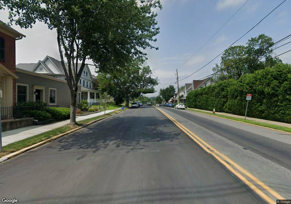
100 N Broad St Unit 103 Nazareth, PA 18064
Estimated Value: $346,000 - $388,000
3
Beds
2
Baths
1,797
Sq Ft
$204/Sq Ft
Est. Value
About This Home
This home is located at 100 N Broad St Unit 103, Nazareth, PA 18064 and is currently estimated at $367,430, approximately $204 per square foot. 100 N Broad St Unit 103 is a home located in Northampton County with nearby schools including Floyd R. Shafer Elementary School, Nazareth Area Middle School, and Nazareth Area High School.
Ownership History
Date
Name
Owned For
Owner Type
Purchase Details
Closed on
Mar 3, 2022
Sold by
Mackenzie Blake Taylor
Bought by
Daly Samantha and Ameer-Beg Luke Owen
Current Estimated Value
Home Financials for this Owner
Home Financials are based on the most recent Mortgage that was taken out on this home.
Original Mortgage
$256,700
Outstanding Balance
$239,211
Interest Rate
3.69%
Mortgage Type
New Conventional
Estimated Equity
$128,219
Purchase Details
Closed on
Jan 11, 2018
Sold by
Frigm Philip E and Frigm Lyndsey B
Bought by
Franconia Real Estate Services Inc
Purchase Details
Closed on
Sep 20, 2013
Sold by
Frigm Lyndsey and Frigm Philip E
Bought by
Frigm Philip E and Frigm Lyndsey
Home Financials for this Owner
Home Financials are based on the most recent Mortgage that was taken out on this home.
Original Mortgage
$179,400
Interest Rate
4.53%
Mortgage Type
New Conventional
Create a Home Valuation Report for This Property
The Home Valuation Report is an in-depth analysis detailing your home's value as well as a comparison with similar homes in the area
Home Values in the Area
Average Home Value in this Area
Purchase History
| Date | Buyer | Sale Price | Title Company |
|---|---|---|---|
| Daly Samantha | $305,000 | Liberty Abstract | |
| Franconia Real Estate Services Inc | $198,500 | Southeastern Abstract Compan | |
| Frigm Philip E | -- | None Available |
Source: Public Records
Mortgage History
| Date | Status | Borrower | Loan Amount |
|---|---|---|---|
| Open | Daly Samantha | $256,700 | |
| Previous Owner | Frigm Philip E | $179,400 |
Source: Public Records
Tax History Compared to Growth
Tax History
| Year | Tax Paid | Tax Assessment Tax Assessment Total Assessment is a certain percentage of the fair market value that is determined by local assessors to be the total taxable value of land and additions on the property. | Land | Improvement |
|---|---|---|---|---|
| 2025 | $652 | $60,400 | $17,800 | $42,600 |
| 2024 | $4,584 | $60,400 | $17,800 | $42,600 |
| 2023 | $4,541 | $60,400 | $17,800 | $42,600 |
| 2022 | $4,541 | $60,400 | $17,800 | $42,600 |
| 2021 | $4,538 | $60,400 | $17,800 | $42,600 |
| 2020 | $4,538 | $60,400 | $17,800 | $42,600 |
| 2019 | $4,432 | $60,400 | $17,800 | $42,600 |
| 2018 | $4,320 | $60,400 | $17,800 | $42,600 |
| 2017 | $4,215 | $60,400 | $17,800 | $42,600 |
| 2016 | -- | $60,400 | $17,800 | $42,600 |
| 2015 | -- | $60,400 | $17,800 | $42,600 |
| 2014 | -- | $60,400 | $17,800 | $42,600 |
Source: Public Records
Map
Nearby Homes
- 49 N Broad St
- 51 S Church St
- 169 S Whitfield St
- 206 S Main St
- 166 Forest Dr
- 170 S Church St
- 0 Forest Dr Unit 744781
- 316 S Broad St
- 43 Evergreen St
- 91 Birchwood Dr
- 514 S New St
- 172 1st St
- 511 E Lawn Rd
- 222 Danbury Dr
- 461 E Beil Ave
- 228 Cherry Hill Rd
- 500 Hall Rd
- 1501 Corkscrew Dr Unit 13
- 434 Schoeneck Ave
- 3863 Easton Nazareth Hwy
- 114 E Chestnut St
- 125 E Chestnut St
- 126 E Chestnut St
- 126 E Chestnut St Unit 2
- 118 N Broad St
- 124 N Broad St
- 120 N Broad St
- 125 N Whitfield St
- 46 N Broad St
- 127 E Chestnut St
- 36 N Broad St
- 128 N Broad St
- 40 N Broad St
- 38 N Broad St
- 41 N Whitfield St
- 37 N Whitfield St
- 129 N Whitfield St
- 133 N Cedar St
- 107 N Whitfield St
- 113 E Chestnut St