


100 N Franklin St Raymore, MO 64083
Estimated payment $4,655/month
About This Lot
RAMBLEWOOD COMMERCIAL COMMERCIAL | RETAIL | OFFICE. LOCATION: [Lot 2] 100 N Franklin St, Raymore, MO 64083. SITE SIZE: 2.41 ACRES. ZONING: Commercial [Retail, Office, Commercial Flex]. PROPERTY HIGHLIGHTS: Located within the Kansas City Metropolitan Area. Visibility: HWY 58 / West Walnut Street frontage lots with excellent visibility. Vertical Ready Land. All Utilities to site. Convenient Access to: Hwy 58, I-49, Hwy 291, & I-470. Primary Thoroughfare Entrance: To +350 Homes within one of the fastest growing cities in Missouri. Adjacent To: American Self Storage, Edward Jones, Heart & Soul Church, & Fellowship Church Campus. SALE PRICE: $840,000.00
Property Details
Property Type
- Land
Lot Details
- 2.41 Acre Lot
- Zoning described as C-G General Commercial
Community Details
- No Home Owners Association
- Raymore Subdivision
Listing and Financial Details
- Assessor Parcel Number 040515200003002000
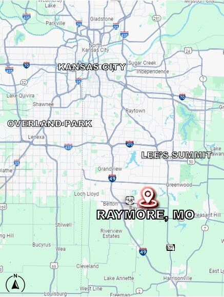
Map
Home Values in the Area
Average Home Value in this Area
Tax History
We collect this data history from publicly available records. To have your information removed, we recommend requesting removal directly through your county’s website.
| Year | Tax Paid | Tax Assessment Tax Assessment Total Assessment is a certain percentage of the fair market value that is determined by local assessors to be the total taxable value of land and additions on the property. | Land | Improvement |
|---|---|---|---|---|
| 2025 | $1,410 | $19,070 | $19,070 | -- |
| 2024 | $1,410 | $17,330 | $17,330 | -- |
| 2023 | $1,408 | $17,330 | $17,330 | $0 |
| 2022 | $1,418 | $17,330 | $17,330 | $0 |
| 2021 | $1,418 | $17,330 | $17,330 | $0 |
| 2020 | $1,444 | $17,330 | $17,330 | $0 |
| 2019 | $1,394 | $17,330 | $17,330 | $0 |
| 2018 | $1,443 | $17,330 | $17,330 | $0 |
| 2017 | $1,390 | $17,330 | $17,330 | $0 |
| 2016 | $1,390 | $17,330 | $17,330 | $0 |
| 2015 | $1,391 | $17,330 | $17,330 | $0 |
| 2014 | $1,392 | $17,330 | $17,330 | $0 |
| 2013 | -- | $17,330 | $17,330 | $0 |
Property History
We collect this data history from publicly available records. To have your information removed, we recommend requesting removal directly through your county’s website.
| Date | Event | Price | List to Sale | Price per Sq Ft |
|---|---|---|---|---|
| 09/11/2024 09/11/24 | For Sale | $840,000 | -- | -- |
Source: Columbia Board of REALTORS®
MLS Number: 422518
APN: 2240500
Disclaimer: Certain information contained herein is derived from information provided by parties other than Homes.com. All information provided is deemed reliable, but is not guaranteed to be accurate and should be independently verified.
![]() IDX information is provided exclusively for personal, non-commercial use, and may not be used for any purpose other than to identify prospective properties consumers may be interested in purchasing. Information is deemed reliable but not guaranteed.
IDX information is provided exclusively for personal, non-commercial use, and may not be used for any purpose other than to identify prospective properties consumers may be interested in purchasing. Information is deemed reliable but not guaranteed.
- 101 N Franklin St
- 408 N Washington St
- 408 N Jefferson St
- 113 E Sierra Dr
- 213 Pointe Ln
- 304 N Rice St
- 222 N Madison St
- 722 Saddle Peak Dr
- 300 N Woodson Dr
- 0 Madison Creek Dr
- 428 Madison Creek Dr
- 508 Foxglove Ln
- 700 Red Clover Ct
- 714 Ridge Crest Dr
- 702 Red Clover Ct
- 600 Wild Lupine Ln
- 203 N Murphy Dr
- 601 Foxglove Ln
- 602 Wild Lupine Ln
- 615 N Conway St
- 105-107 E Maplewood Ln Unit 105 E. Maplewood Ln.
- 619 N Crest Dr
- 113 W Laredo Trail
- 208 W Calico Dr
- 109-111 E Pine St Unit 111 E. Pine St.
- 216 W Heritage Dr
- 238 Persimmon Rd
- 106 Samantha St
- 224 Sumac Rd
- 406 Sunflower Dr
- 252 Persimmon Rd
- 523 Buffalo Dr
- 422 Buffalo Ct
- 428 Buffalo Ct
- 432 Granite Dr
- 501 Dawn St
- 804 Stratford Dr
- 208 High Point Ln
- 515 Sky Vue Dr
- 606 Canter St

Ask me questions while you tour the home.