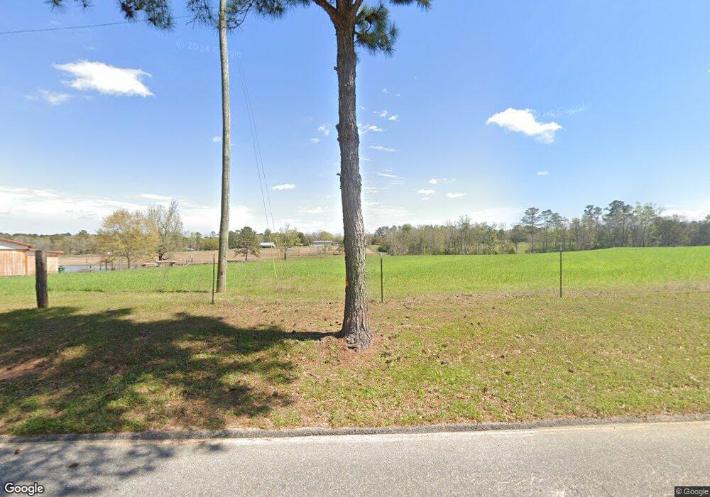
100 Nance Rd Laurel Hill, FL 32567
Estimated Value: $250,000 - $344,638
3
Beds
1
Bath
1,452
Sq Ft
$203/Sq Ft
Est. Value
About This Home
This home is located at 100 Nance Rd, Laurel Hill, FL 32567 and is currently estimated at $294,546, approximately $202 per square foot. 100 Nance Rd is a home with nearby schools including Paxton School.
Ownership History
Date
Name
Owned For
Owner Type
Purchase Details
Closed on
Aug 12, 2021
Sold by
Tunnage Phillip
Bought by
Crawford Nancy
Current Estimated Value
Purchase Details
Closed on
Dec 18, 2019
Sold by
Crawford Nancy
Bought by
Lowry Brieson and Lowry Lauren
Purchase Details
Closed on
Aug 30, 2019
Sold by
Crawford Nancy
Bought by
Crawford Nancy
Purchase Details
Closed on
Jun 26, 2019
Sold by
Crawford Nancy and Ludmun Janice
Bought by
Tunnage Phillip
Purchase Details
Closed on
Nov 1, 2015
Bought by
Tunnage Cecil Estate
Create a Home Valuation Report for This Property
The Home Valuation Report is an in-depth analysis detailing your home's value as well as a comparison with similar homes in the area
Home Values in the Area
Average Home Value in this Area
Purchase History
| Date | Buyer | Sale Price | Title Company |
|---|---|---|---|
| Crawford Nancy | $10,000 | Accommodation | |
| Lowry Brieson | -- | None Available | |
| Crawford Nancy | -- | Attorney | |
| Tunnage Phillip | -- | Attorney | |
| Tunnage Cecil Estate | $100 | -- |
Source: Public Records
Tax History Compared to Growth
Tax History
| Year | Tax Paid | Tax Assessment Tax Assessment Total Assessment is a certain percentage of the fair market value that is determined by local assessors to be the total taxable value of land and additions on the property. | Land | Improvement |
|---|---|---|---|---|
| 2025 | $903 | $137,907 | -- | -- |
| 2024 | $870 | $136,622 | -- | -- |
| 2023 | $870 | $132,778 | $0 | $0 |
| 2022 | $1,156 | $137,805 | $38,959 | $98,846 |
| 2021 | $1,025 | $107,769 | $33,097 | $74,672 |
| 2020 | $951 | $94,908 | $28,796 | $66,112 |
| 2019 | $754 | $73,956 | $8,896 | $65,060 |
| 2018 | $735 | $71,536 | $0 | $0 |
| 2017 | $726 | $70,254 | $6,805 | $63,449 |
| 2016 | $727 | $69,743 | $6,838 | $62,905 |
| 2015 | $301 | $65,354 | $0 | $0 |
| 2014 | $378 | $64,633 | $0 | $0 |
Source: Public Records
Map
Nearby Homes
- 2.49 acres County Highway 147 W
- 48 Cannon Dr
- LOT 23 Blueberry Dr
- LOT 37 Blueberry Dr
- LOT 38 Blueberry Dr
- 118 Peach Tree St
- 22445 Us Highway 331 N
- 62 Bayview Dr
- 137 Parker Ln
- 80 Wain Huckabee Rd
- Xxx Co Hwy 147 Unit LotWP001
- 0 Co Hwy 147 Unit LotWP001
- 0 Co 147 Hwy Unit 779361
- XXX Co 147 Hwy
- 23447 2nd Ave
- 507 Elm St
- 23763 3rd Ave
- 228 Double Bridge Rd
- 521 Landing Ave
- 000 State Line Rd
- 39 acres W Co Hwy 147 Walk
- 913 County Highway 147 W
- 14 Thomas Dr SE
- 817 County Highway 147 W
- 799 County Highway 147 W
- 42 Thomas Dr SE
- 779 County Highway 147 W
- xxxx W Co Highway 147
- 75 Thomas Dr SE
- 44 Cannon Dr
- xxx W Co Highway 147
- 66 Cannon Dr
- 116 Cannon Dr
- 154 Cannon Dr
- 208 Cannon Dr
- 78 Firestone Rd
- 1176 County Highway 147 W
- 60 Cannon Dr
- 206 Cannon Dr
- 674 County Highway 147 W
