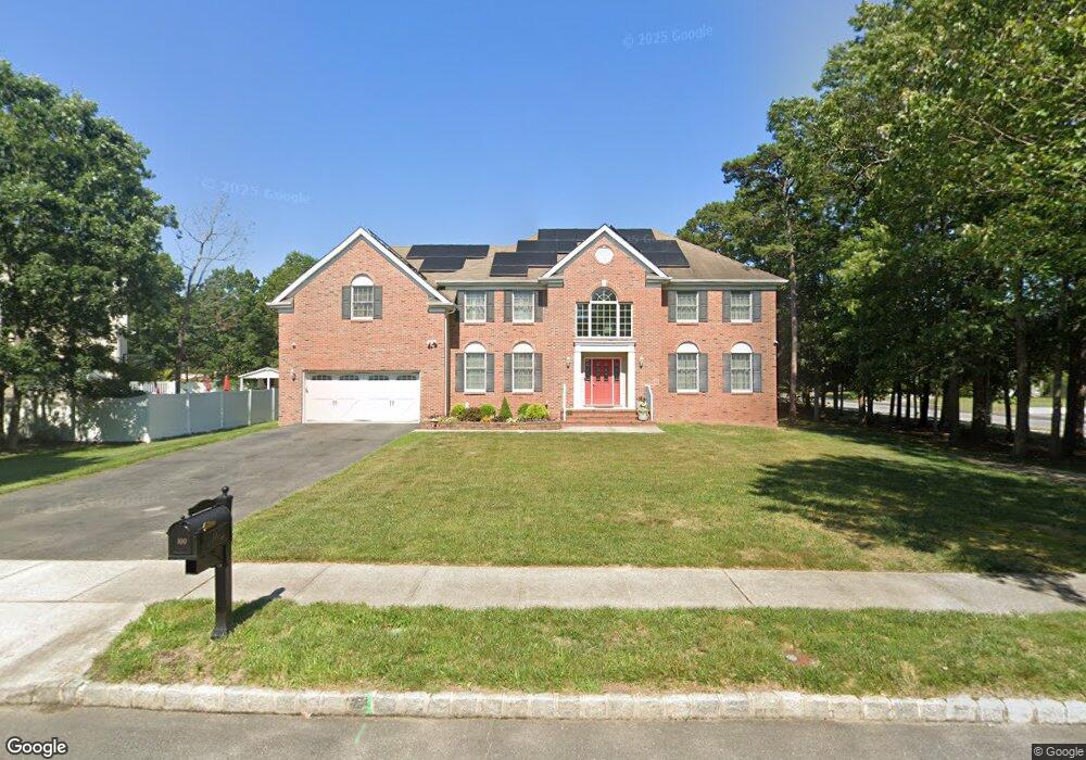
100 New Bridge Rd Egg Harbor Township, NJ 08234
Estimated Value: $713,297 - $834,000
5
Beds
4
Baths
3,740
Sq Ft
$204/Sq Ft
Est. Value
About This Home
This home is located at 100 New Bridge Rd, Egg Harbor Township, NJ 08234 and is currently estimated at $763,574, approximately $204 per square foot. 100 New Bridge Rd is a home located in Atlantic County with nearby schools including Egg Harbor Township High School, ChARTer TECH High School for the Performing Arts, and Atlantic Christian School.
Ownership History
Date
Name
Owned For
Owner Type
Purchase Details
Closed on
Mar 5, 2009
Sold by
Alliance At Wellington Llc
Bought by
Raju Rupinder K and Raju Rajbir S
Current Estimated Value
Home Financials for this Owner
Home Financials are based on the most recent Mortgage that was taken out on this home.
Original Mortgage
$350,000
Outstanding Balance
$221,715
Interest Rate
5.14%
Mortgage Type
Purchase Money Mortgage
Estimated Equity
$541,859
Create a Home Valuation Report for This Property
The Home Valuation Report is an in-depth analysis detailing your home's value as well as a comparison with similar homes in the area
Home Values in the Area
Average Home Value in this Area
Purchase History
| Date | Buyer | Sale Price | Title Company |
|---|---|---|---|
| Raju Rupinder K | $460,000 | Foundation Title |
Source: Public Records
Mortgage History
| Date | Status | Borrower | Loan Amount |
|---|---|---|---|
| Open | Raju Rupinder K | $350,000 |
Source: Public Records
Tax History Compared to Growth
Tax History
| Year | Tax Paid | Tax Assessment Tax Assessment Total Assessment is a certain percentage of the fair market value that is determined by local assessors to be the total taxable value of land and additions on the property. | Land | Improvement |
|---|---|---|---|---|
| 2025 | $13,460 | $401,300 | $61,500 | $339,800 |
| 2024 | $13,460 | $401,300 | $61,500 | $339,800 |
| 2023 | $13,383 | $401,300 | $61,500 | $339,800 |
| 2022 | $13,383 | $401,300 | $61,500 | $339,800 |
| 2021 | $13,492 | $401,300 | $61,500 | $339,800 |
| 2020 | $13,247 | $401,300 | $61,500 | $339,800 |
| 2019 | $12,886 | $401,300 | $61,500 | $339,800 |
| 2018 | $12,609 | $401,300 | $61,500 | $339,800 |
| 2017 | $12,565 | $401,300 | $61,500 | $339,800 |
| 2016 | $12,067 | $401,300 | $61,500 | $339,800 |
| 2015 | $11,891 | $401,300 | $61,500 | $339,800 |
| 2014 | $11,654 | $401,300 | $61,500 | $339,800 |
Source: Public Records
Map
Nearby Homes
- 202 Iowa Ave
- 2163 Ocean Heights Ave
- 115 Grant Ave
- 202 Ohio Ave
- 506 Zion Rd
- 202 Drexel Ave
- 106 Jerome Ave
- 6 N Mount Airy Ave
- 126 Marshall Dr
- 218 Granville Cir
- 161 Laquinta Dr
- 85 Marshall Dr
- 201 Spyglass Ct
- 7 Fairview Dr
- 7212 Tremont Ave
- 300 Glen Dornoch Ln
- 145 Laquinta Dr
- 127 Rockport Dr
- 81 Robert Best Rd
- 113 Lighthouse Ln