100 Paul Revere Dr Houston, TX 77024
Memorial NeighborhoodEstimated Value: $1,961,000 - $2,226,379
4
Beds
4
Baths
4,492
Sq Ft
$462/Sq Ft
Est. Value
About This Home
This home is located at 100 Paul Revere Dr, Houston, TX 77024 and is currently estimated at $2,074,460, approximately $461 per square foot. 100 Paul Revere Dr is a home located in Harris County with nearby schools including Frostwood Elementary School, Memorial Middle, and Memorial High School.
Ownership History
Date
Name
Owned For
Owner Type
Purchase Details
Closed on
Jul 15, 2013
Sold by
Bengtson Lars Eric and Estate Of Bengt Oluf Stig Beng
Bought by
Peterson Susan K
Current Estimated Value
Purchase Details
Closed on
Apr 15, 2009
Sold by
Bengtson Nils Olof Lellky and Bengtson Bengt Nobel
Bought by
Bengtson Bengt
Home Financials for this Owner
Home Financials are based on the most recent Mortgage that was taken out on this home.
Original Mortgage
$938,250
Interest Rate
3.19%
Mortgage Type
Reverse Mortgage Home Equity Conversion Mortgage
Create a Home Valuation Report for This Property
The Home Valuation Report is an in-depth analysis detailing your home's value as well as a comparison with similar homes in the area
Home Values in the Area
Average Home Value in this Area
Purchase History
| Date | Buyer | Sale Price | Title Company |
|---|---|---|---|
| Peterson Susan K | -- | None Available | |
| Bengtson Bengt | -- | First American Title |
Source: Public Records
Mortgage History
| Date | Status | Borrower | Loan Amount |
|---|---|---|---|
| Previous Owner | Bengtson Bengt | $938,250 |
Source: Public Records
Tax History Compared to Growth
Tax History
| Year | Tax Paid | Tax Assessment Tax Assessment Total Assessment is a certain percentage of the fair market value that is determined by local assessors to be the total taxable value of land and additions on the property. | Land | Improvement |
|---|---|---|---|---|
| 2025 | $28,719 | $1,950,000 | $1,420,532 | $529,468 |
| 2024 | $28,719 | $1,966,745 | $1,238,413 | $728,332 |
| 2023 | $28,719 | $2,055,900 | $1,238,413 | $817,487 |
| 2022 | $31,772 | $1,359,000 | $1,238,413 | $120,587 |
| 2021 | $30,875 | $1,264,623 | $1,238,413 | $26,210 |
| 2020 | $28,916 | $1,238,513 | $1,238,413 | $100 |
| 2019 | $27,466 | $1,339,564 | $1,339,464 | $100 |
| 2018 | $7,645 | $1,428,457 | $1,428,357 | $100 |
| 2017 | $22,683 | $1,435,000 | $1,428,357 | $6,643 |
| 2016 | $20,621 | $1,435,000 | $1,428,357 | $6,643 |
| 2015 | $17,338 | $1,435,000 | $1,428,357 | $6,643 |
| 2014 | $17,338 | $651,425 | $651,325 | $100 |
Source: Public Records
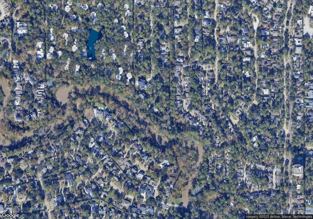
Map
Nearby Homes
- 241 Litchfield Ln
- 201 Vanderpool Ln Unit 103
- 201 Vanderpool Ln Unit 65
- 201 Vanderpool Ln Unit 64
- 201 Litchfield Ln
- 259 Litchfield Ln Unit 66
- 246 Litchfield Ln
- 12327 Tunbridge Ln
- 238 Litchfield Ln
- 271 Litchfield Ln
- 53 Litchfield Ln
- 171 Litchfield Ln
- 161 Litchfield Ln
- 318 Litchfield Ln
- 168 Litchfield Ln
- 336 Litchfield Ln
- 0 Gessner Rd
- 152 Litchfield Ln
- 115 Litchfield Ln
- 354 Tealwood Dr
- 108 Paul Revere Dr
- 107 Paul Revere Dr
- 110 Paul Revere Dr
- 111 Paul Revere Dr
- 114 Paul Revere Dr
- 298 Litchfield Ln
- 10038 Briar Dr
- 294 Litchfield Ln
- 10030 Briar Dr
- 115 Paul Revere Dr
- 286 Litchfield Ln
- 292 Litchfield Ln
- 10026 Briar Dr
- 10042 Briar Dr
- 284 Litchfield Ln
- 284 Litchfield Ln Unit 98
- 282 Litchfield Ln
- 10022 Briar Dr
- 118 Paul Revere Dr
- 10046 Briar Dr