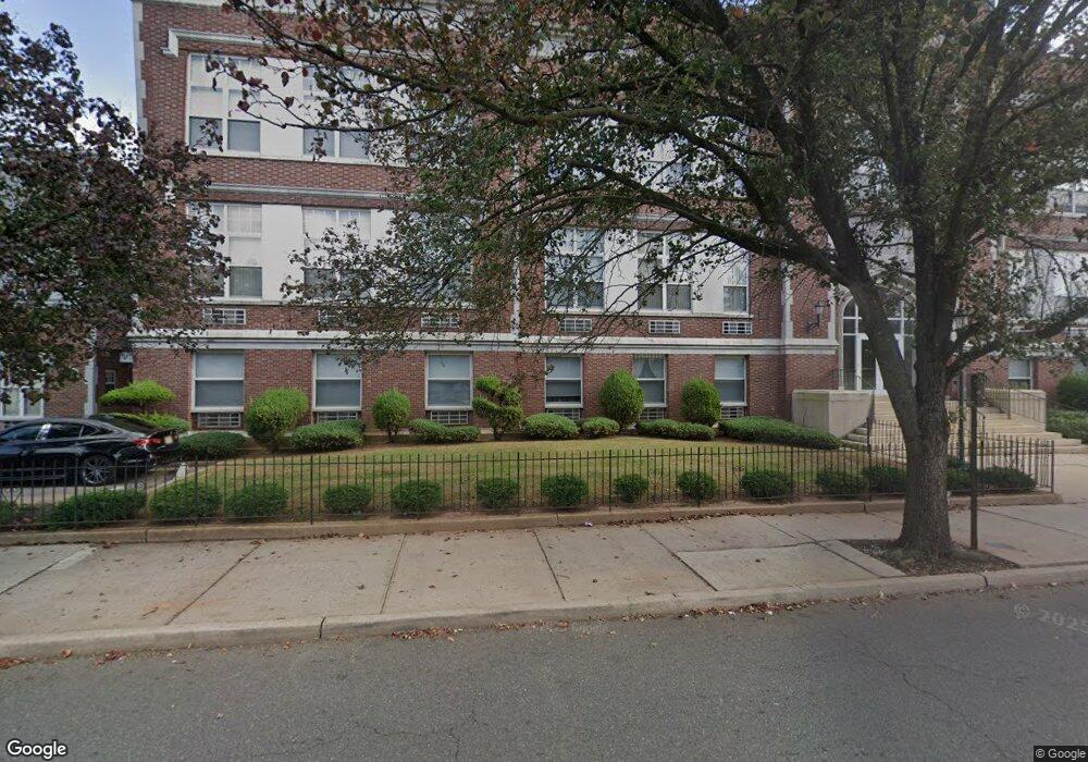
100 Pershing Ave Unit 11 Carteret, NJ 07008
Estimated Value: $14,733,766
1
Bed
1
Bath
37,966
Sq Ft
$388/Sq Ft
Est. Value
About This Home
This home is located at 100 Pershing Ave Unit 11, Carteret, NJ 07008 and is currently estimated at $14,733,766, approximately $388 per square foot. 100 Pershing Ave Unit 11 is a home located in Middlesex County with nearby schools including Carteret High School and St Joseph School.
Ownership History
Date
Name
Owned For
Owner Type
Purchase Details
Closed on
Apr 28, 1995
Sold by
J M Huber Corp
Bought by
Lheritage Inks Intl
Current Estimated Value
Home Financials for this Owner
Home Financials are based on the most recent Mortgage that was taken out on this home.
Original Mortgage
$1,200,000
Interest Rate
8.33%
Create a Home Valuation Report for This Property
The Home Valuation Report is an in-depth analysis detailing your home's value as well as a comparison with similar homes in the area
Home Values in the Area
Average Home Value in this Area
Purchase History
| Date | Buyer | Sale Price | Title Company |
|---|---|---|---|
| Lheritage Inks Intl | $3,643,000 | -- |
Source: Public Records
Mortgage History
| Date | Status | Borrower | Loan Amount |
|---|---|---|---|
| Closed | Lheritage Inks Intl | $1,200,000 |
Source: Public Records
Tax History Compared to Growth
Tax History
| Year | Tax Paid | Tax Assessment Tax Assessment Total Assessment is a certain percentage of the fair market value that is determined by local assessors to be the total taxable value of land and additions on the property. | Land | Improvement |
|---|---|---|---|---|
| 2025 | -- | $5,199,500 | $975,000 | $4,224,500 |
| 2024 | -- | $3,780,600 | $975,000 | $2,805,600 |
| 2023 | -- | $3,780,600 | $975,000 | $2,805,600 |
| 2022 | $0 | $3,780,600 | $975,000 | $2,805,600 |
| 2021 | $7,637 | $3,780,600 | $975,000 | $2,805,600 |
| 2020 | $7,637 | $3,780,600 | $975,000 | $2,805,600 |
| 2019 | $7,864 | $3,780,600 | $975,000 | $2,805,600 |
| 2018 | $7,637 | $3,780,600 | $975,000 | $2,805,600 |
| 2017 | $0 | $3,780,600 | $975,000 | $2,805,600 |
| 2016 | $0 | $2,667,400 | $780,000 | $1,887,400 |
| 2015 | -- | $2,667,400 | $780,000 | $1,887,400 |
| 2014 | -- | $2,667,400 | $780,000 | $1,887,400 |
Source: Public Records
Map
Nearby Homes
- 82 Pulaski Ave
- 42 Pulaski Ave
- 128 Pershing Ave
- 160 Pershing Ave
- 14 Linden St
- 88 Lowell St
- 68 Atlantic St
- 84-86 Washington Ave
- 114 Washington Ave
- 36 E Laurel St
- 141 Emerson St
- 12 Hudson St
- 22 N Whittier St Unit B
- 4 Somerset St
- 3 Jessie St
- 54 Bergen St
- 12 Edwin St
- 118 Holly St
- 245 Carteret Ave
- 81 Hickory St
- 100 Pershing Ave Unit 3fl
- 100 Pershing Ave Unit 2
- 100 Pershing Ave Unit 2G
- 31 Atlantic St
- 41 Pulaski Ave
- 27 Atlantic St
- 105 Pershing Ave
- 99 Pershing Ave Unit 101
- 103 Pershing Ave
- 23 Atlantic St
- 53 Pulaski Ave
- 90 Pershing Ave
- 93 Pershing Ave
- 21 Atlantic St
- 37 Pulaski Ave
- 57 Pulaski Ave
- 88 Pershing Ave
- 89 Pershing Ave
- 63 Pulaski Ave
- 48 Pulaski Ave