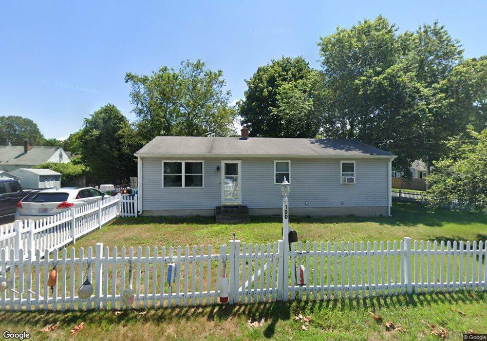
100 Pheasant Ave Warwick, RI 02886
Hillsgrove NeighborhoodEstimated Value: $376,757 - $395,000
3
Beds
1
Bath
1,056
Sq Ft
$364/Sq Ft
Est. Value
About This Home
This home is located at 100 Pheasant Ave, Warwick, RI 02886 and is currently estimated at $384,189, approximately $363 per square foot. 100 Pheasant Ave is a home located in Kent County with nearby schools including St Rose Of Lima School and Saint Kevin School.
Ownership History
Date
Name
Owned For
Owner Type
Purchase Details
Closed on
Feb 28, 2006
Sold by
Bryan Mark D and Bryan Gail E
Bought by
Stankevich Tania
Current Estimated Value
Home Financials for this Owner
Home Financials are based on the most recent Mortgage that was taken out on this home.
Original Mortgage
$181,800
Outstanding Balance
$99,808
Interest Rate
6.17%
Mortgage Type
Purchase Money Mortgage
Estimated Equity
$284,381
Create a Home Valuation Report for This Property
The Home Valuation Report is an in-depth analysis detailing your home's value as well as a comparison with similar homes in the area
Home Values in the Area
Average Home Value in this Area
Purchase History
| Date | Buyer | Sale Price | Title Company |
|---|---|---|---|
| Stankevich Tania | $230,000 | -- |
Source: Public Records
Mortgage History
| Date | Status | Borrower | Loan Amount |
|---|---|---|---|
| Open | Stankevich Tania | $181,800 | |
| Previous Owner | Stankevich Tania | $80,000 |
Source: Public Records
Tax History
| Year | Tax Paid | Tax Assessment Tax Assessment Total Assessment is a certain percentage of the fair market value that is determined by local assessors to be the total taxable value of land and additions on the property. | Land | Improvement |
|---|---|---|---|---|
| 2025 | $4,094 | $322,400 | $105,800 | $216,600 |
| 2024 | $3,862 | $266,900 | $87,300 | $179,600 |
| 2023 | $3,787 | $266,900 | $87,300 | $179,600 |
| 2022 | $3,581 | $191,200 | $57,800 | $133,400 |
| 2021 | $3,581 | $191,200 | $57,800 | $133,400 |
| 2020 | $3,581 | $191,200 | $57,800 | $133,400 |
| 2019 | $3,581 | $191,200 | $57,800 | $133,400 |
| 2018 | $2,852 | $137,100 | $48,800 | $88,300 |
| 2017 | $2,775 | $137,100 | $48,800 | $88,300 |
| 2016 | $2,775 | $137,100 | $48,800 | $88,300 |
| 2015 | $3,098 | $149,300 | $60,600 | $88,700 |
| 2014 | $2,995 | $149,300 | $60,600 | $88,700 |
| 2013 | $2,955 | $149,300 | $60,600 | $88,700 |
Source: Public Records
Map
Nearby Homes
- 211 Pinnery Ave
- 64 Ormsby Ave
- 65 Almy St
- 28 Hoyt St
- 28 Burgess Dr
- 44 Westbrook Rd
- 96 Moccasin Dr
- 72 Hollis Ave
- 38 Red Maple Ln
- 88 Child Ln
- 207 Stillwater Dr
- 38 Bowman Dr
- 161 Sunny Cove Dr
- 700 Sandy Ln Unit 16
- 700 Sandy Ln Unit 3
- 700 Sandy Ln Unit 5
- 700 Sandy Ln Unit 19
- 700 Sandy Ln Unit 4
- 700 Sandy Ln Unit 20
- 700 Sandy Ln Unit 2
- 165 Whitford St
- 89 Pheasant Ave
- 67 Hamilton Ave
- 104 Pheasant Ave
- 0 Hamilton Ave
- 91 Hamilton Ave
- 79 Pheasant Ave
- 105 Pheasant Ave
- 68 Pheasant Ave
- 65 Hamilton Ave
- 110 Pheasant Ave
- 80 Hamilton Ave
- 84 Homeland Ave
- 74 Hamilton Ave
- 97 Hamilton Ave
- 111 Pheasant Ave
- 68 Homeland Ave
- 90 Hamilton Ave
- 96 Homeland Ave
- 68 Hamilton Ave
Your Personal Tour Guide
Ask me questions while you tour the home.